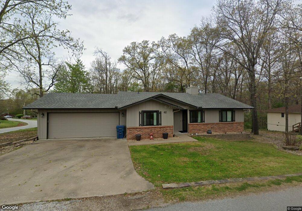
62 Merritt Dr Bella Vista, AR 72714
Estimated Value: $269,000 - $316,000
3
Beds
2
Baths
1,313
Sq Ft
$223/Sq Ft
Est. Value
About This Home
This home is located at 62 Merritt Dr, Bella Vista, AR 72714 and is currently estimated at $292,332, approximately $222 per square foot. 62 Merritt Dr is a home located in Benton County with nearby schools including Cooper Elementary School, Ruth Barker Middle School, and Washington Junior High School.
Ownership History
Date
Name
Owned For
Owner Type
Purchase Details
Closed on
Dec 4, 2023
Sold by
Carter Deanne and Carter Aaron
Bought by
Carter Aaron S and Carter Deanne M
Current Estimated Value
Purchase Details
Closed on
Oct 15, 2009
Sold by
Pierce Bill Dean
Bought by
Carter Aaron
Home Financials for this Owner
Home Financials are based on the most recent Mortgage that was taken out on this home.
Original Mortgage
$94,758
Interest Rate
5.05%
Mortgage Type
New Conventional
Purchase Details
Closed on
Jul 5, 1990
Bought by
Pierce Trust
Purchase Details
Closed on
Feb 6, 1990
Bought by
Dod 02-06-1990
Purchase Details
Closed on
Jan 6, 1983
Bought by
Pierce
Create a Home Valuation Report for This Property
The Home Valuation Report is an in-depth analysis detailing your home's value as well as a comparison with similar homes in the area
Home Values in the Area
Average Home Value in this Area
Purchase History
| Date | Buyer | Sale Price | Title Company |
|---|---|---|---|
| Carter Aaron S | -- | None Listed On Document | |
| Carter Aaron | $93,000 | Clear Title Of Arkansas Llc | |
| Pierce Trust | -- | -- | |
| Dod 02-06-1990 | -- | -- | |
| Pierce | -- | -- |
Source: Public Records
Mortgage History
| Date | Status | Borrower | Loan Amount |
|---|---|---|---|
| Previous Owner | Carter Aaron | $94,758 |
Source: Public Records
Tax History Compared to Growth
Tax History
| Year | Tax Paid | Tax Assessment Tax Assessment Total Assessment is a certain percentage of the fair market value that is determined by local assessors to be the total taxable value of land and additions on the property. | Land | Improvement |
|---|---|---|---|---|
| 2025 | $1,793 | $43,615 | $1,600 | $42,015 |
| 2024 | $1,694 | $43,615 | $1,600 | $42,015 |
| 2023 | $1,613 | $28,330 | $800 | $27,530 |
| 2022 | $1,218 | $28,330 | $800 | $27,530 |
| 2021 | $1,142 | $28,330 | $800 | $27,530 |
| 2020 | $1,083 | $22,890 | $600 | $22,290 |
| 2019 | $1,083 | $22,890 | $600 | $22,290 |
| 2018 | $949 | $20,390 | $600 | $19,790 |
| 2017 | $845 | $20,390 | $600 | $19,790 |
| 2016 | $845 | $20,390 | $600 | $19,790 |
| 2015 | $1,119 | $18,560 | $1,000 | $17,560 |
| 2014 | $769 | $18,560 | $1,000 | $17,560 |
Source: Public Records
Map
Nearby Homes
- 63 Merritt Dr
- 40 Merritt Dr
- 75 Melanie Dr
- 41 Melanie Dr
- 20 Melanie Cir
- 0 Rettendon Ln
- 0 Nettle Ln
- 3 Brougham Ln
- 10 Dillow Ln
- 16 Witherby Dr
- 0 Allendale Dr
- 14 Constance Cir
- 36 Headley Dr
- 127 Rillington Dr
- 40 Headley Dr
- 0 Rillington Dr Unit 1316259
- Lot 10 of Block 6 Rillington Dr
- 37 & 39 Allendale Dr
- 44 Cresswell Dr
- 49 Headley Dr
- 60 Merritt Dr
- 51 Merritt Dr
- 1 Sullivan Ln
- 1 Sullivan Ln
- 4 Sullivan Ln
- 47 Merritt Dr
- 56 Merritt Dr
- 3 Sullivan Ln
- 43 Merritt Cir
- 0 Murrow Ln Unit 549590
- 0 Murrow Ln Unit 554592
- 0 Murrow Ln Unit 575638
- 3 Murrow Ln
- 8 Sullivan Ln
- 39 Merritt Cir
- 41 Merritt Cir
- 7 Merritt Ln
- 4 Murrow Ln
- 5 Sullivan Ln
- 66 Merritt Dr