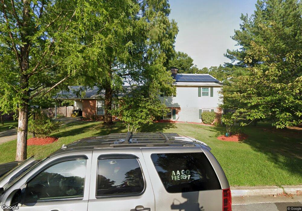
62 Old Enterprise Rd Upper Marlboro, MD 20774
Estimated Value: $229,000 - $348,000
--
Bed
--
Bath
1,920
Sq Ft
$156/Sq Ft
Est. Value
About This Home
This home is located at 62 Old Enterprise Rd, Upper Marlboro, MD 20774 and is currently estimated at $298,710, approximately $155 per square foot. 62 Old Enterprise Rd is a home located in Prince George's County with nearby schools including Perrywood Elementary School, Kettering Middle School, and Largo High School.
Ownership History
Date
Name
Owned For
Owner Type
Purchase Details
Closed on
Sep 16, 2020
Sold by
Adams Rose C
Bought by
Henry Stanley F
Current Estimated Value
Home Financials for this Owner
Home Financials are based on the most recent Mortgage that was taken out on this home.
Original Mortgage
$143,100
Outstanding Balance
$126,992
Interest Rate
2.9%
Mortgage Type
New Conventional
Estimated Equity
$171,718
Purchase Details
Closed on
Apr 27, 1978
Sold by
Heinemann Charles
Bought by
Adams Rose C
Create a Home Valuation Report for This Property
The Home Valuation Report is an in-depth analysis detailing your home's value as well as a comparison with similar homes in the area
Home Values in the Area
Average Home Value in this Area
Purchase History
| Date | Buyer | Sale Price | Title Company |
|---|---|---|---|
| Henry Stanley F | $159,000 | Prime Title Group Llc | |
| Adams Rose C | $44,900 | -- |
Source: Public Records
Mortgage History
| Date | Status | Borrower | Loan Amount |
|---|---|---|---|
| Open | Henry Stanley F | $143,100 |
Source: Public Records
Tax History Compared to Growth
Tax History
| Year | Tax Paid | Tax Assessment Tax Assessment Total Assessment is a certain percentage of the fair market value that is determined by local assessors to be the total taxable value of land and additions on the property. | Land | Improvement |
|---|---|---|---|---|
| 2025 | $3,567 | $230,600 | $69,100 | $161,500 |
| 2024 | $3,567 | $213,733 | $0 | $0 |
| 2023 | $3,315 | $196,867 | $0 | $0 |
| 2022 | $3,064 | $180,000 | $54,000 | $126,000 |
| 2021 | $3,054 | $179,333 | $0 | $0 |
| 2020 | $5,610 | $178,667 | $0 | $0 |
| 2019 | $2,549 | $178,000 | $53,400 | $124,600 |
| 2018 | $2,650 | $169,333 | $0 | $0 |
| 2017 | $2,558 | $160,667 | $0 | $0 |
| 2016 | -- | $152,000 | $0 | $0 |
| 2015 | $2,372 | $152,000 | $0 | $0 |
| 2014 | $2,372 | $152,000 | $0 | $0 |
Source: Public Records
Map
Nearby Homes
- 83 Watkins Park Dr
- 12215 Wimbleton St
- 120 Old Enterprise Rd
- 136 Old Enterprise Rd
- 12100 Wimbleton St
- 999 Kings Heather Dr
- 1100 Kings Heather Dr
- 12812 Staton Ct
- 1116 Kings Tree Dr
- 111 Essenton Dr
- 12203 Kings Arrow St
- 100 Essenton Dr
- 13006 Brice Ct
- 203 Dauntly St
- 221 Red Jade Dr Unit 9-1
- 11440 Red Jade Ct Unit 6-3
- 11320 Kettering Terrace
- 13200 Wright Place
- 11518 Joyceton Dr Unit 35-3
- 13216 Fox Bow Dr Unit 403
- 64 Old Enterprise Rd
- 66 Old Enterprise Rd
- 68 Old Enterprise Rd
- 60 Old Enterprise Rd
- 70 Old Enterprise Rd Unit 63
- 56 Old Enterprise Rd
- 44 Old Enterprise Rd
- 54 Old Enterprise Rd
- 52 Old Enterprise Rd
- 12300 Chesterton Dr
- 48 Old Enterprise Rd
- 12302 Chesterton Dr
- 12306 Chesterton Dr
- 58 Old Enterprise Rd
- 12304 Chesterton Dr
- 46 Old Enterprise Rd
- 12310 Chesterton Dr
- 12308 Chesterton Dr
- 12210 Hunterton St
- 12312 Chesterton Dr