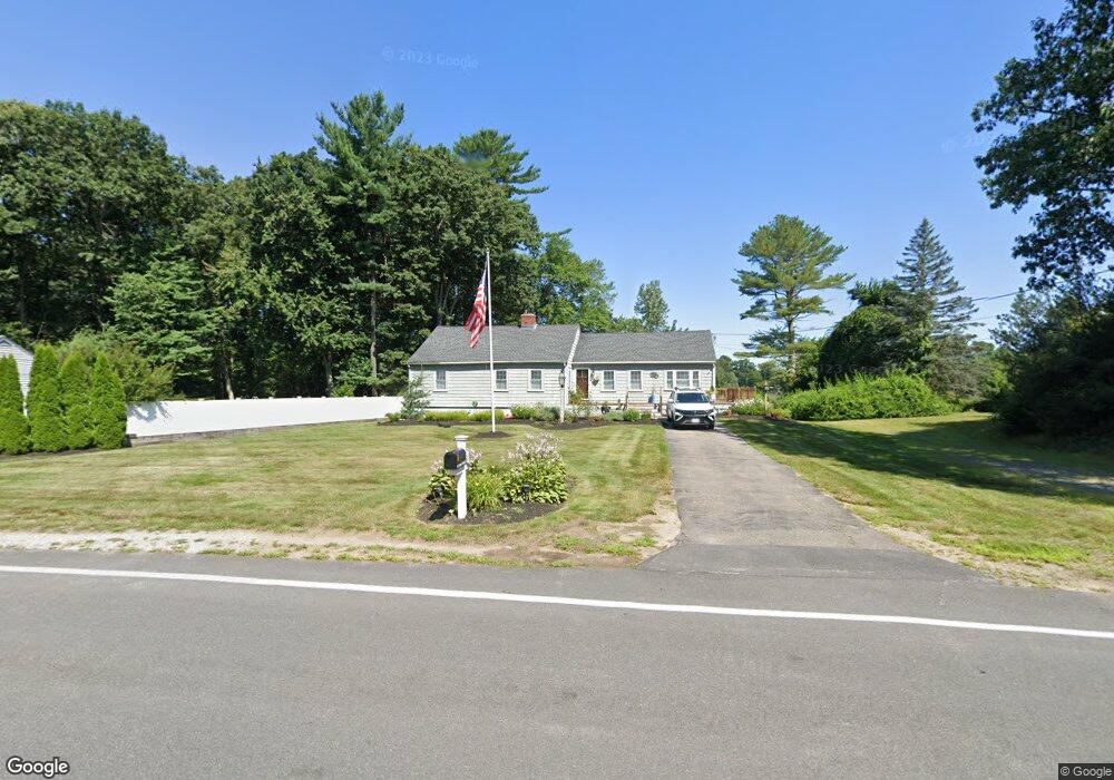
62 Park St Wilmington, MA 01887
Estimated Value: $732,000 - $796,000
3
Beds
2
Baths
1,663
Sq Ft
$463/Sq Ft
Est. Value
About This Home
This home is located at 62 Park St, Wilmington, MA 01887 and is currently estimated at $769,284, approximately $462 per square foot. 62 Park St is a home located in Middlesex County with nearby schools including Wilmington Middle School, Wilmington High School, and N Reading Knowledge Beginnings.
Ownership History
Date
Name
Owned For
Owner Type
Purchase Details
Closed on
Aug 29, 2017
Sold by
Ballou Daniel H
Bought by
Ballou Dawn M
Current Estimated Value
Purchase Details
Closed on
Jan 28, 2003
Sold by
Ballou Lorraine M
Bought by
Ballou Daniel H and Ballou Dawn M
Home Financials for this Owner
Home Financials are based on the most recent Mortgage that was taken out on this home.
Original Mortgage
$245,600
Interest Rate
6.11%
Mortgage Type
Purchase Money Mortgage
Create a Home Valuation Report for This Property
The Home Valuation Report is an in-depth analysis detailing your home's value as well as a comparison with similar homes in the area
Home Values in the Area
Average Home Value in this Area
Purchase History
| Date | Buyer | Sale Price | Title Company |
|---|---|---|---|
| Ballou Dawn M | -- | -- | |
| Ballou Daniel H | $307,000 | -- |
Source: Public Records
Mortgage History
| Date | Status | Borrower | Loan Amount |
|---|---|---|---|
| Previous Owner | Ballou Daniel H | $245,600 |
Source: Public Records
Tax History Compared to Growth
Tax History
| Year | Tax Paid | Tax Assessment Tax Assessment Total Assessment is a certain percentage of the fair market value that is determined by local assessors to be the total taxable value of land and additions on the property. | Land | Improvement |
|---|---|---|---|---|
| 2025 | $7,493 | $654,400 | $324,700 | $329,700 |
| 2024 | $7,153 | $625,800 | $324,700 | $301,100 |
| 2023 | $6,899 | $577,800 | $295,300 | $282,500 |
| 2022 | $6,559 | $503,400 | $246,100 | $257,300 |
| 2021 | $6,639 | $479,700 | $223,900 | $255,800 |
| 2020 | $6,444 | $474,500 | $223,900 | $250,600 |
| 2019 | $6,485 | $471,600 | $213,100 | $258,500 |
| 2018 | $6,078 | $421,800 | $202,900 | $218,900 |
| 2017 | $5,871 | $406,300 | $202,900 | $203,400 |
| 2016 | $5,621 | $384,200 | $193,300 | $190,900 |
| 2015 | $5,298 | $368,700 | $193,300 | $175,400 |
| 2014 | $5,005 | $351,500 | $184,300 | $167,200 |
Source: Public Records
Map
Nearby Homes
- 3 Gordon Rd
- 220 Martins Landing Unit 309
- 260 Martins Landing Unit 508
- 260 Martins Landing Unit 103
- 200 Martins Landing Unit 102
- 300 Martins Landing Unit 107
- 320 Martins Landing Unit 311
- 320 Martins Landing Unit 108
- 320 Martins Landing Unit 109
- 320 Martins Landing Unit 110
- 320 Martins Landing Unit 303
- 320 Martins Landing Unit 102
- 320 Martins Landing Unit 103
- 320 Martins Landing Unit 2410
- 320 Martins Landing Unit 403
- 320 Martins Landing Unit 107
- 320 Martins Landing Unit 210
- 320 Martins Landing Unit 2201
- 320 Martins Landing Unit 112
- 320 Martins Landing Unit 206