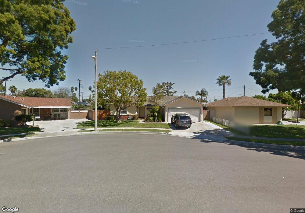
620 S Birchleaf Dr Anaheim, CA 92804
West Anaheim NeighborhoodEstimated Value: $898,827 - $1,086,000
3
Beds
2
Baths
1,229
Sq Ft
$792/Sq Ft
Est. Value
About This Home
This home is located at 620 S Birchleaf Dr, Anaheim, CA 92804 and is currently estimated at $973,707, approximately $792 per square foot. 620 S Birchleaf Dr is a home located in Orange County with nearby schools including Baden-Powell Elementary School, Dale Jr High School, and Magnolia High.
Ownership History
Date
Name
Owned For
Owner Type
Purchase Details
Closed on
Jun 29, 2009
Sold by
Dagen Arthur J and Dagen Maxine A
Bought by
Hartman Kevin and Hartman Wendy
Current Estimated Value
Home Financials for this Owner
Home Financials are based on the most recent Mortgage that was taken out on this home.
Original Mortgage
$280,000
Interest Rate
5.17%
Mortgage Type
Purchase Money Mortgage
Purchase Details
Closed on
Mar 15, 1993
Sold by
Dagen Arthur J and Dagen Maxine A
Bought by
Dagen Arthur J and Dagen Maxine A
Create a Home Valuation Report for This Property
The Home Valuation Report is an in-depth analysis detailing your home's value as well as a comparison with similar homes in the area
Home Values in the Area
Average Home Value in this Area
Purchase History
| Date | Buyer | Sale Price | Title Company |
|---|---|---|---|
| Hartman Kevin | $350,000 | Stewart Title Company | |
| Dagen Arthur J | -- | -- |
Source: Public Records
Mortgage History
| Date | Status | Borrower | Loan Amount |
|---|---|---|---|
| Previous Owner | Hartman Kevin | $280,000 |
Source: Public Records
Tax History Compared to Growth
Tax History
| Year | Tax Paid | Tax Assessment Tax Assessment Total Assessment is a certain percentage of the fair market value that is determined by local assessors to be the total taxable value of land and additions on the property. | Land | Improvement |
|---|---|---|---|---|
| 2025 | $5,103 | $451,779 | $373,536 | $78,243 |
| 2024 | $5,103 | $442,921 | $366,212 | $76,709 |
| 2023 | $4,970 | $434,237 | $359,032 | $75,205 |
| 2022 | $4,921 | $425,723 | $351,992 | $73,731 |
| 2021 | $4,861 | $417,376 | $345,090 | $72,286 |
| 2020 | $4,834 | $413,097 | $341,552 | $71,545 |
| 2019 | $4,713 | $404,998 | $334,855 | $70,143 |
| 2018 | $4,655 | $397,057 | $328,289 | $68,768 |
| 2017 | $4,490 | $389,272 | $321,852 | $67,420 |
| 2016 | $4,467 | $381,640 | $315,541 | $66,099 |
| 2015 | $4,428 | $375,908 | $310,801 | $65,107 |
| 2014 | $4,281 | $368,545 | $304,713 | $63,832 |
Source: Public Records
Map
Nearby Homes
- 507 S Shields Dr
- 619 S Shields Dr
- 2945 W Bridgeport Ave
- 2942 W Floyd Ave
- 231 S Laxore St
- 716 S Hayward St Unit 2
- 1223 S Dale Ave
- 2770 W Lincoln Ave Unit 40
- 2770 W Lincoln Ave Unit 58
- 1234 S Macduff St
- 103 S Laxore St
- 106 S Laxore St Unit 407
- 107 S Laxore St
- 900 S Hayward St
- 211 S Beach Blvd Unit 92
- 235 S Beach Blvd Unit 132
- Plan Two at Mason
- Plan Four at Mason
- Plan Three at Mason
- Plan Seven at Mason
- 624 S Birchleaf Dr
- 616 S Birchleaf Dr
- 621 S Newcastle Dr
- 625 S Newcastle Dr
- 617 S Newcastle Dr
- 628 S Birchleaf Dr
- 612 S Birchleaf Dr
- 629 S Newcastle Dr
- 625 S Birchleaf Dr
- 621 S Birchleaf Dr
- 2830 W Orange Ave
- 612 S Newcastle Dr
- 2836 W Orange Ave
- 629 S Birchleaf Dr
- 2840 W Orange Ave
- 2820 W Orange Ave
- 624 S Newcastle Dr
- 616 S Newcastle Dr
- 2832 W Westhaven Dr
- 2846 W Orange Ave