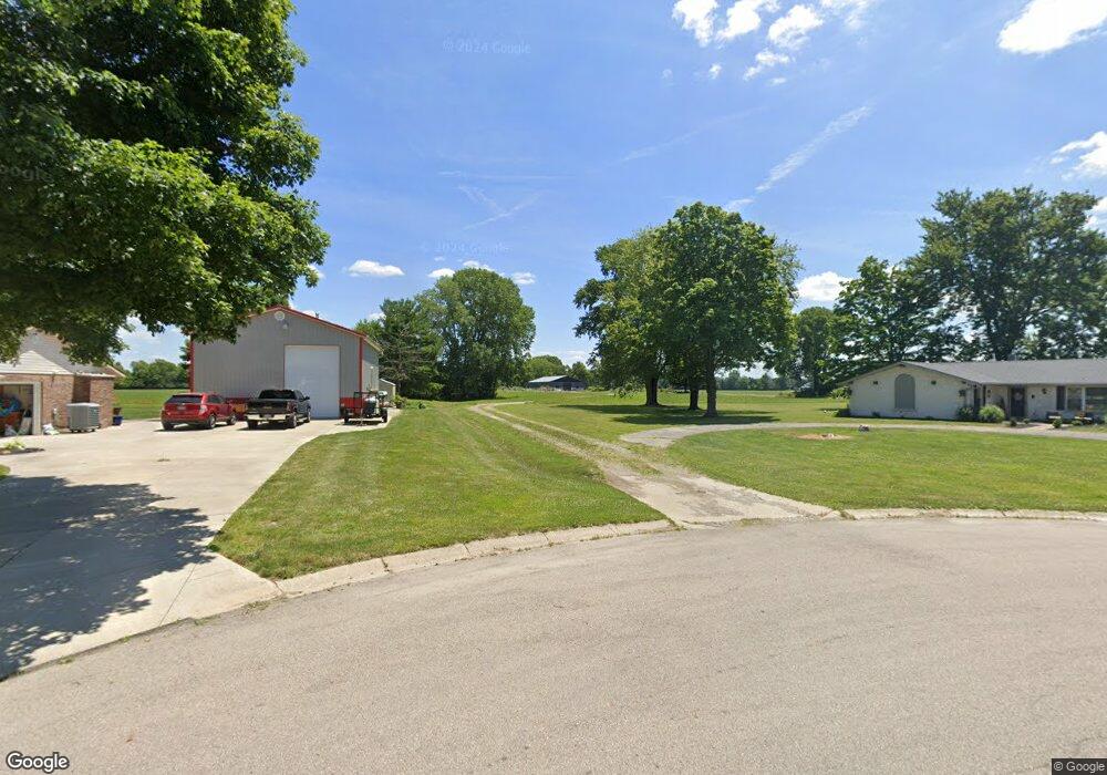
6207 Detrick Rd Tipp City, OH 45371
Estimated Value: $366,000 - $760,730
--
Bed
--
Bath
--
Sq Ft
19.62
Acres
About This Home
This home is located at 6207 Detrick Rd, Tipp City, OH 45371 and is currently estimated at $563,365. 6207 Detrick Rd is a home located in Miami County with nearby schools including Broadway Elementary School, Nevin Coppock Elementary School, and L. T. Ball Intermediate School.
Ownership History
Date
Name
Owned For
Owner Type
Purchase Details
Closed on
Jan 29, 2021
Sold by
Kukul Mary M and Mary M Kukul Living Trust
Bought by
Manes James D and Manes Carlene M
Current Estimated Value
Home Financials for this Owner
Home Financials are based on the most recent Mortgage that was taken out on this home.
Original Mortgage
$209,950
Interest Rate
2.6%
Mortgage Type
New Conventional
Purchase Details
Closed on
Sep 1, 1980
Bought by
Evans Fred D
Create a Home Valuation Report for This Property
The Home Valuation Report is an in-depth analysis detailing your home's value as well as a comparison with similar homes in the area
Home Values in the Area
Average Home Value in this Area
Purchase History
| Date | Buyer | Sale Price | Title Company |
|---|---|---|---|
| Manes James D | $247,000 | None Available | |
| Maynes James D | -- | None Listed On Document | |
| Evans Fred D | -- | -- |
Source: Public Records
Mortgage History
| Date | Status | Borrower | Loan Amount |
|---|---|---|---|
| Closed | Maynes James D | $209,950 |
Source: Public Records
Tax History Compared to Growth
Tax History
| Year | Tax Paid | Tax Assessment Tax Assessment Total Assessment is a certain percentage of the fair market value that is determined by local assessors to be the total taxable value of land and additions on the property. | Land | Improvement |
|---|---|---|---|---|
| 2024 | $2,748 | $51,170 | $5,420 | $45,750 |
| 2023 | $2,748 | $51,170 | $5,420 | $45,750 |
| 2022 | $268 | $5,420 | $5,420 | $0 |
| 2021 | $223 | $4,220 | $4,220 | $0 |
| 2020 | $225 | $4,220 | $4,220 | $0 |
| 2019 | $227 | $4,220 | $4,220 | $0 |
| 2018 | $420 | $7,260 | $7,260 | $0 |
| 2017 | $421 | $7,260 | $7,260 | $0 |
| 2016 | $405 | $7,260 | $7,260 | $0 |
| 2015 | $386 | $7,280 | $7,280 | $0 |
| 2014 | $386 | $7,280 | $7,280 | $0 |
| 2013 | $388 | $7,280 | $7,280 | $0 |
Source: Public Records
Map
Nearby Homes
- 6060 Detrick Rd
- The Prescott Plan at Fieldstone Place
- The Lynwood Plan at Emerson Crossing
- The Concord Plan at Emerson Crossing
- The Magnolia Plan at Fieldstone Place
- The Cambridge Plan at Emerson Crossing
- The Sandalwood Plan at Fieldstone Place
- The Lincoln Plan at Emerson Crossing
- The Plainfield Plan at Fieldstone Place
- The Cambridge Plan at Fieldstone Place
- The Magnolia Plan at Emerson Crossing
- The Prescott Plan at Emerson Crossing
- The Fieldstone Plan at Emerson Crossing
- The Zink Plan at Fieldstone Place
- The Concord Plan at Fieldstone Place
- The Warren Plan at Fieldstone Place
- The Fieldstone Plan at Fieldstone Place
- The Warren Plan at Emerson Crossing
- The Lynwood Plan at Fieldstone Place
- The Arlington Plan at Emerson Crossing
- 6165 Detrick Rd
- 6145 Detrick Rd
- 6195 Detrick Rd
- 6115 Detrick Rd
- 6095 Detrick Rd
- 6225 Detrick Rd
- 840 Michaels Rd
- 820 Michaels Rd
- 6065 Detrick Rd
- 870 Michaels Rd
- 790 Michaels Rd
- 740 Michaels Rd
- 890 Michaels Rd
- 770 Michaels Rd
- 910 Michaels Rd
- 6160 Detrick Rd
- 6140 Detrick Rd
- 6220 Detrick Rd
- 6190 Detrick Rd
- 6110 Detrick Rd