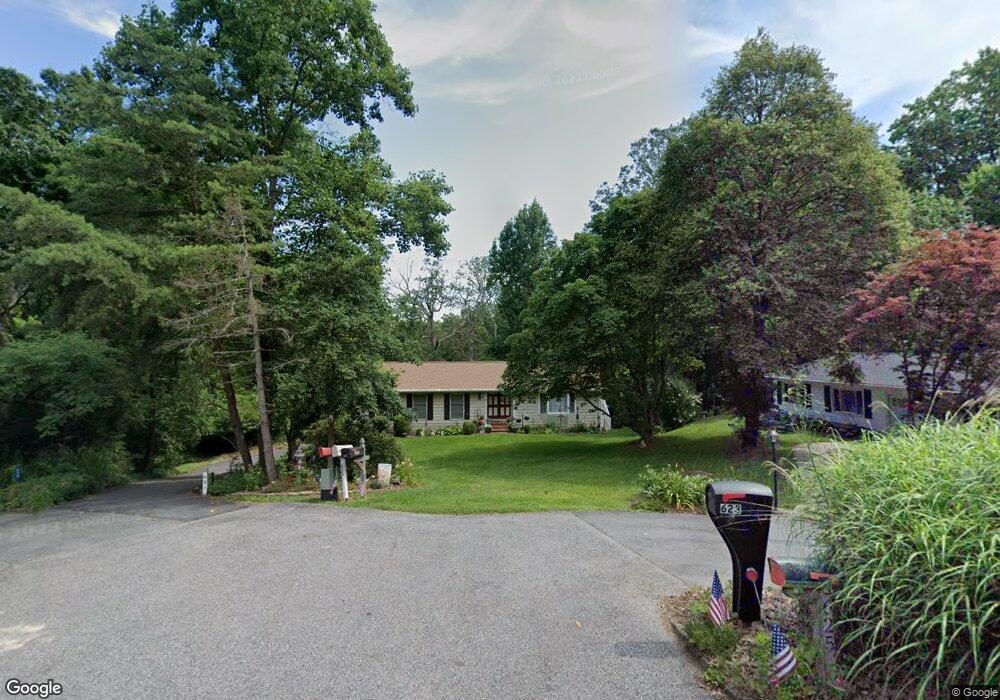
621 Maple Hill Ln Crownsville, MD 21032
Arden on the Severn NeighborhoodEstimated Value: $433,235 - $526,000
--
Bed
2
Baths
1,512
Sq Ft
$320/Sq Ft
Est. Value
About This Home
This home is located at 621 Maple Hill Ln, Crownsville, MD 21032 and is currently estimated at $483,809, approximately $319 per square foot. 621 Maple Hill Ln is a home located in Anne Arundel County with nearby schools including Millersville Elementary School, Old Mill High School, and Rockbridge Academy.
Ownership History
Date
Name
Owned For
Owner Type
Purchase Details
Closed on
Apr 23, 2014
Sold by
Harlan Harold J and Harlan Norma J
Bought by
Harlan Harold J and Harlan Norma J
Current Estimated Value
Purchase Details
Closed on
Nov 7, 1986
Sold by
Bennett Gary
Bought by
Harlan Harold J and Harlan Norma J
Home Financials for this Owner
Home Financials are based on the most recent Mortgage that was taken out on this home.
Original Mortgage
$114,000
Interest Rate
9.83%
Create a Home Valuation Report for This Property
The Home Valuation Report is an in-depth analysis detailing your home's value as well as a comparison with similar homes in the area
Home Values in the Area
Average Home Value in this Area
Purchase History
| Date | Buyer | Sale Price | Title Company |
|---|---|---|---|
| Harlan Harold J | -- | None Available | |
| Harlan Harold J | $128,000 | -- |
Source: Public Records
Mortgage History
| Date | Status | Borrower | Loan Amount |
|---|---|---|---|
| Closed | Harlan Harold J | $114,000 |
Source: Public Records
Tax History Compared to Growth
Tax History
| Year | Tax Paid | Tax Assessment Tax Assessment Total Assessment is a certain percentage of the fair market value that is determined by local assessors to be the total taxable value of land and additions on the property. | Land | Improvement |
|---|---|---|---|---|
| 2025 | $3,431 | $401,700 | $234,900 | $166,800 |
| 2024 | $3,431 | $390,033 | $0 | $0 |
| 2023 | $3,335 | $378,367 | $0 | $0 |
| 2022 | $3,120 | $366,700 | $234,900 | $131,800 |
| 2021 | $2,967 | $355,267 | $0 | $0 |
| 2020 | $2,967 | $343,833 | $0 | $0 |
| 2019 | $2,915 | $332,400 | $204,900 | $127,500 |
| 2018 | $3,267 | $322,233 | $0 | $0 |
| 2017 | $2,746 | $312,067 | $0 | $0 |
| 2016 | -- | $301,900 | $0 | $0 |
| 2015 | -- | $300,900 | $0 | $0 |
| 2014 | -- | $299,900 | $0 | $0 |
Source: Public Records
Map
Nearby Homes
- 610 Echo Cove Dr
- 1158 Blue Bird Ln
- 626 Evergreen Rd
- 518 Lakeland Rd S
- 717 Whitneys Landing Dr
- 405 Ben Oaks Dr W
- 596 West Dr
- 1220 Indian Landing Rd
- 439A Lakeland Rd N
- 1304 North Rd
- 513 Old Pasture Ln
- 983 Wayside Dr
- 1037 Dockser Dr
- 771 Generals Hwy
- 1013 Waterbury Heights Dr
- 762 Cougar Dr
- 8201 Longford Rd
- 1003 Omar Dr
- 600 Hidden Pond Ln
- 302 Blue Cedar Ct
- 623 Maple Hill Ln
- 622 Maple Hill Ln
- 625 Maple Hill Ln
- 624 Maple Hill Ln
- 640 Echo Cove Dr
- 650 Echo Cove Dr
- 638 Echo Cove Dr
- 642 Echo Cove Dr
- 636 Echo Cove Dr
- 654 Echo Cove Dr
- 620 Maple Hill Ln
- 646 Echo Cove Dr
- 634 Echo Cove Dr
- 632 Echo Cove Dr
- 656 Echo Cove Dr
- 630 Echo Cove Dr
- 1184 Claire Rd
- 641 Echo Cove Dr
- 628 Echo Cove Dr
- 639 Echo Cove Dr