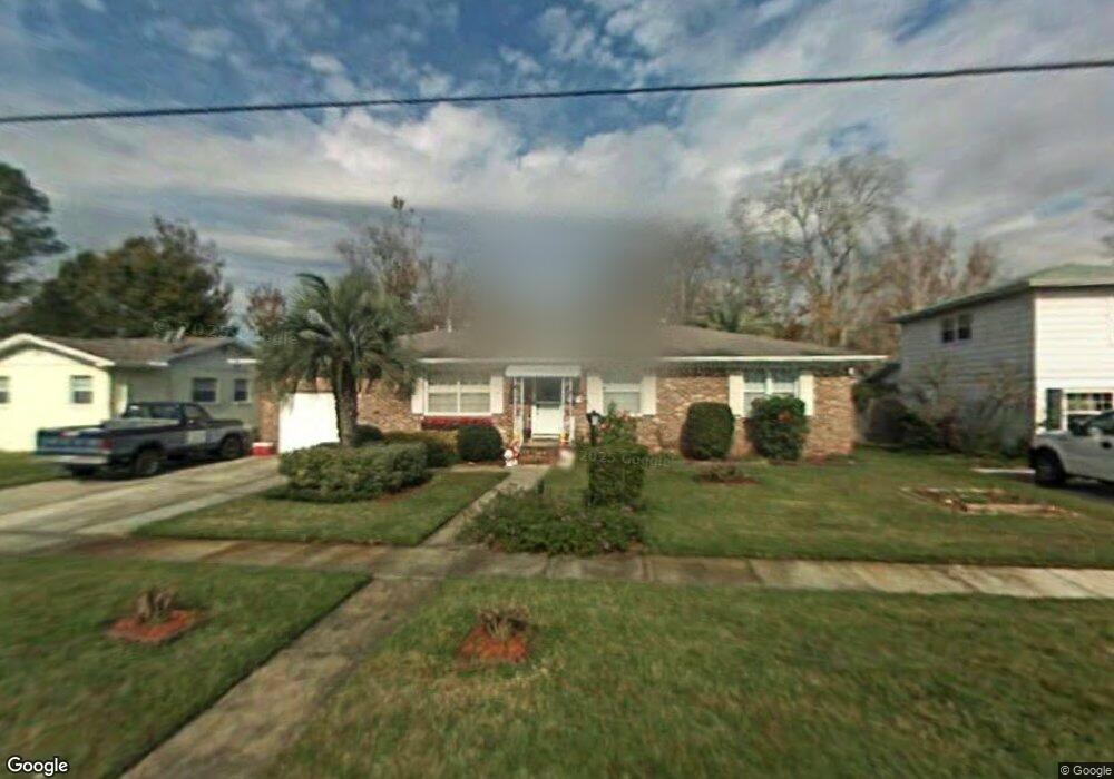
6211 Harlow Blvd Jacksonville, FL 32210
Cedar Hills NeighborhoodEstimated Value: $221,000 - $249,000
3
Beds
2
Baths
1,506
Sq Ft
$152/Sq Ft
Est. Value
About This Home
This home is located at 6211 Harlow Blvd, Jacksonville, FL 32210 and is currently estimated at $228,822, approximately $151 per square foot. 6211 Harlow Blvd is a home located in Duval County with nearby schools including Cedar Hills Elementary School, Westside Middle School, and Portola High School.
Ownership History
Date
Name
Owned For
Owner Type
Purchase Details
Closed on
Sep 18, 2025
Sold by
Bennett Samuel H and Bennett Nancy L
Bought by
Bennett Samuel H and Bennett Nancy L
Current Estimated Value
Purchase Details
Closed on
Sep 14, 1995
Sold by
Moore Linda Kay
Bought by
Bennett Samuel H and Bennett Nancy L
Home Financials for this Owner
Home Financials are based on the most recent Mortgage that was taken out on this home.
Original Mortgage
$63,000
Interest Rate
7.76%
Create a Home Valuation Report for This Property
The Home Valuation Report is an in-depth analysis detailing your home's value as well as a comparison with similar homes in the area
Home Values in the Area
Average Home Value in this Area
Purchase History
| Date | Buyer | Sale Price | Title Company |
|---|---|---|---|
| Bennett Samuel H | $100 | None Listed On Document | |
| Bennett Samuel H | $70,000 | -- |
Source: Public Records
Mortgage History
| Date | Status | Borrower | Loan Amount |
|---|---|---|---|
| Previous Owner | Bennett Samuel H | $63,000 |
Source: Public Records
Tax History Compared to Growth
Tax History
| Year | Tax Paid | Tax Assessment Tax Assessment Total Assessment is a certain percentage of the fair market value that is determined by local assessors to be the total taxable value of land and additions on the property. | Land | Improvement |
|---|---|---|---|---|
| 2025 | $858 | $79,548 | -- | -- |
| 2024 | $822 | $77,307 | -- | -- |
| 2023 | $822 | $75,056 | $0 | $0 |
| 2022 | $763 | $72,870 | $0 | $0 |
| 2021 | $770 | $70,748 | $0 | $0 |
| 2020 | $769 | $69,772 | $0 | $0 |
| 2019 | $770 | $68,204 | $0 | $0 |
| 2018 | $769 | $66,933 | $0 | $0 |
| 2017 | $768 | $65,557 | $0 | $0 |
| 2016 | $773 | $64,209 | $0 | $0 |
| 2015 | $782 | $63,763 | $0 | $0 |
| 2014 | $786 | $63,257 | $0 | $0 |
Source: Public Records
Map
Nearby Homes
- 6220 Graves St
- 6216 Sudbury Ave S
- 6241 Autlan Dr
- 6116 Sudbury Ave S
- 6217 Sage Dr
- 4152 Arcot Cir
- 6350 Harlow Blvd
- 6256 Sage Dr
- 4109 Tyndale Dr
- 4014 Rendale Dr
- 4115 Arcot Cir
- 4034 Tyndale Dr
- 6234 Alexon Dr
- 6309 Mercado Dr
- 4302 Buck Point Rd
- 4036 Blanding Blvd
- 4635 Arthur Durham Dr E
- 3903 Rendale Dr N
- 3914 Cobalt Ave E
- 3827 Colebrooke Dr
- 6217 Harlow Blvd
- 6203 Harlow Blvd
- 6220 Bartholf Ave
- 6212 Bartholf Ave
- 6228 Bartholf Ave
- 6159 Harlow Blvd
- 6225 Harlow Blvd
- 6206 Bartholf Ave
- 6210 Harlow Blvd
- 6236 Bartholf Ave
- 6220 Harlow Blvd
- 6153 Harlow Blvd
- 6233 Harlow Blvd
- 6200 Bartholf Ave Unit 3
- 6226 Harlow Blvd
- 6244 Bartholf Ave
- 6156 Harlow Blvd
- 6223 Bartholf Ave
- 6239 Bartholf Ave
- 6234 Harlow Blvd