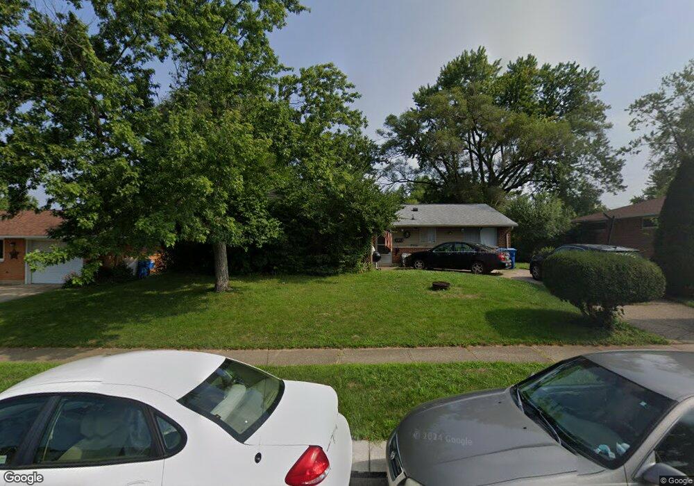
6213 Buckman Dr Dayton, OH 45424
Estimated Value: $186,000 - $236,000
4
Beds
2
Baths
1,404
Sq Ft
$146/Sq Ft
Est. Value
About This Home
This home is located at 6213 Buckman Dr, Dayton, OH 45424 and is currently estimated at $205,381, approximately $146 per square foot. 6213 Buckman Dr is a home located in Montgomery County with nearby schools including Wayne High School and Huber Heights Christian Academy.
Ownership History
Date
Name
Owned For
Owner Type
Purchase Details
Closed on
Mar 22, 2004
Sold by
Davis Michael J and Davis Mary E
Bought by
Davis Anthony and Davis Debra L
Current Estimated Value
Home Financials for this Owner
Home Financials are based on the most recent Mortgage that was taken out on this home.
Original Mortgage
$66,400
Interest Rate
5.74%
Mortgage Type
Purchase Money Mortgage
Purchase Details
Closed on
Oct 4, 2000
Sold by
Davis Michael J and Davis Mary E
Bought by
Davis Michael J and Davis Mary E
Create a Home Valuation Report for This Property
The Home Valuation Report is an in-depth analysis detailing your home's value as well as a comparison with similar homes in the area
Home Values in the Area
Average Home Value in this Area
Purchase History
| Date | Buyer | Sale Price | Title Company |
|---|---|---|---|
| Davis Anthony | $83,000 | Sterling Land Title Agency I | |
| Davis Michael J | -- | -- |
Source: Public Records
Mortgage History
| Date | Status | Borrower | Loan Amount |
|---|---|---|---|
| Closed | Davis Anthony | $66,400 |
Source: Public Records
Tax History Compared to Growth
Tax History
| Year | Tax Paid | Tax Assessment Tax Assessment Total Assessment is a certain percentage of the fair market value that is determined by local assessors to be the total taxable value of land and additions on the property. | Land | Improvement |
|---|---|---|---|---|
| 2024 | $2,584 | $50,100 | $10,150 | $39,950 |
| 2023 | $2,584 | $50,100 | $10,150 | $39,950 |
| 2022 | $2,258 | $34,510 | $7,000 | $27,510 |
| 2021 | $2,291 | $34,510 | $7,000 | $27,510 |
| 2020 | $2,293 | $34,510 | $7,000 | $27,510 |
| 2019 | $2,251 | $29,950 | $7,000 | $22,950 |
| 2018 | $2,258 | $29,950 | $7,000 | $22,950 |
| 2017 | $2,243 | $29,950 | $7,000 | $22,950 |
| 2016 | $2,129 | $27,690 | $7,000 | $20,690 |
| 2015 | $2,102 | $27,690 | $7,000 | $20,690 |
| 2014 | $2,102 | $27,690 | $7,000 | $20,690 |
| 2012 | -- | $29,410 | $8,750 | $20,660 |
Source: Public Records
Map
Nearby Homes
- 7854 Harshmanville Rd
- 7866 Harshmanville Rd
- 7833 Harshmanville Rd
- 6447 Highbury Rd
- 8282 Briar Ridge Ct
- 6681 Spokane Dr
- 6150 Taylorsville Rd
- 7371 Damascus Dr
- 6701 Springport Way
- 6089 Green Knolls Dr
- 6219 Beacon Tree Ct
- 6605 Highbury Rd
- 8436 Indian Mound Dr
- 7150 Harshmanville Rd
- 7741 Shalamar Dr
- 6334 Shull Rd
- 6601 Grovehill Dr
- 5580 Clagston Ct
- 7660 Stonecrest Dr
- 8554 Schoolgate Dr
- 6207 Buckman Dr
- 6219 Buckman Dr
- 7858 Harshmanville Rd
- 7862 Harshmanville Rd
- 6201 Buckman Dr
- 6225 Buckman Dr
- 6218 Buckman Dr
- 6212 Buckman Dr
- 6224 Buckman Dr
- 6206 Buckman Dr
- 7850 Harshmanville Rd
- 6149 Buckman Dr
- 6231 Buckman Dr
- 7870 Harshmanville Rd
- 6230 Buckman Dr
- 6200 Buckman Dr
- 7861 Harshmanville Rd
- 7846 Harshmanville Rd
- 7865 Harshmanville Rd
- 6143 Buckman Dr