Estimated Value: $661,000 - $833,000
3
Beds
2
Baths
1,342
Sq Ft
$546/Sq Ft
Est. Value
About This Home
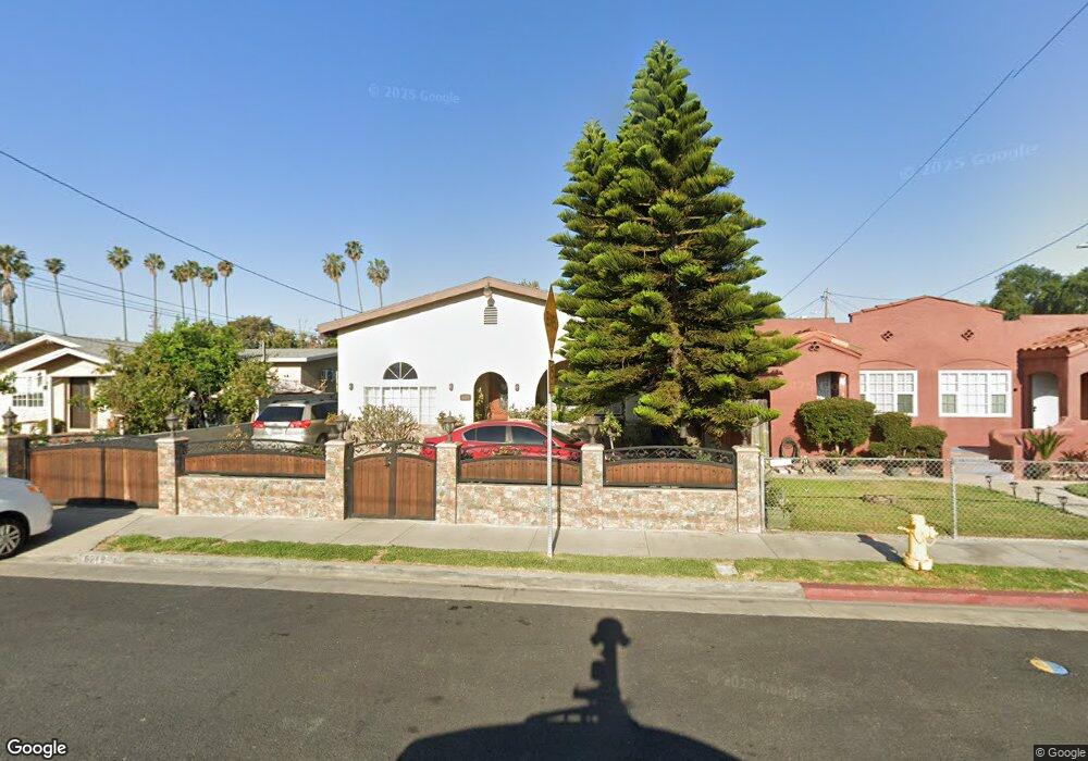
This home is located at 6219 Carmelita Ave, Bell, CA 90201 and is currently estimated at $732,405, approximately $545 per square foot. 6219 Carmelita Ave is a home located in Los Angeles County with nearby schools including Corona Avenue Elementary School, Orchard Academies 2b School, and Maywood Academy High School.
Ownership History
Date
Name
Owned For
Owner Type
Purchase Details
Closed on
Aug 28, 2001
Sold by
Velasco Jose Luis and Velasco Raquel
Bought by
Chavez Yancy R
Current Estimated Value
Home Financials for this Owner
Home Financials are based on the most recent Mortgage that was taken out on this home.
Original Mortgage
$214,114
Outstanding Balance
$83,493
Interest Rate
6.99%
Mortgage Type
FHA
Estimated Equity
$648,912
Purchase Details
Closed on
Aug 11, 2001
Sold by
Chavez Jose L
Bought by
Chavez Yancy R
Home Financials for this Owner
Home Financials are based on the most recent Mortgage that was taken out on this home.
Original Mortgage
$214,114
Outstanding Balance
$83,493
Interest Rate
6.99%
Mortgage Type
FHA
Estimated Equity
$648,912
Create a Home Valuation Report for This Property
The Home Valuation Report is an in-depth analysis detailing your home's value as well as a comparison with similar homes in the area
Home Values in the Area
Average Home Value in this Area
Purchase History
| Date | Buyer | Sale Price | Title Company |
|---|---|---|---|
| Chavez Yancy R | $217,500 | First American Title Co | |
| Chavez Yancy R | -- | First American Title Co |
Source: Public Records
Mortgage History
| Date | Status | Borrower | Loan Amount |
|---|---|---|---|
| Open | Chavez Yancy R | $214,114 |
Source: Public Records
Tax History Compared to Growth
Tax History
| Year | Tax Paid | Tax Assessment Tax Assessment Total Assessment is a certain percentage of the fair market value that is determined by local assessors to be the total taxable value of land and additions on the property. | Land | Improvement |
|---|---|---|---|---|
| 2025 | $5,216 | $321,289 | $179,629 | $141,660 |
| 2024 | $5,216 | $314,990 | $176,107 | $138,883 |
| 2023 | $5,124 | $308,814 | $172,654 | $136,160 |
| 2022 | $4,926 | $302,760 | $169,269 | $133,491 |
| 2021 | $4,874 | $296,824 | $165,950 | $130,874 |
| 2019 | $4,730 | $288,023 | $161,029 | $126,994 |
| 2018 | $4,628 | $282,376 | $157,872 | $124,504 |
| 2016 | $4,550 | $271,413 | $151,743 | $119,670 |
| 2015 | $4,726 | $267,337 | $149,464 | $117,873 |
| 2014 | $4,462 | $262,102 | $146,537 | $115,565 |
Source: Public Records
Map
Nearby Homes
- 3633 Gage Ave
- 6133 Orchard Ave
- 4026 Gage Ave
- 6059 Riverside Ave
- 3510 Nevada St
- 3519 E 60th St
- 6901 San Luis Ave
- 3267 E Gage Ave
- 4301 E 60th St
- 3800 E 57th St
- 4212 E 58th St
- 4114 Beck Ave
- 3900 Florence Ave
- 5712 Fishburn Ave
- 4339 E 58th St
- 5421 Everett Ave
- 6913 Plaska Ave
- 5503 Maywood Ave
- 4305 Florence Ave
- 6509 State St
- 6215 Carmelita Ave
- 6225 Carmelita Ave
- 6229 Carmelita Ave
- 6218 Orchard Ave
- 6233 Carmelita Ave
- 3720 Randolph Place
- 6224 Orchard Ave
- 3716 Randolph Place
- 6201 Carmelita Ave
- 6228 Orchard Ave
- 3710 Randolph Place
- 6218 Carmelita Ave
- 6237 Carmelita Ave
- 6214 Carmelita Ave
- 6224 Carmelita Ave
- 3706 Randolph Place
- 6234 Orchard Ave
- 6200 Carmelita Ave
- 6228 Carmelita Ave
- 6208 Orchard Ave