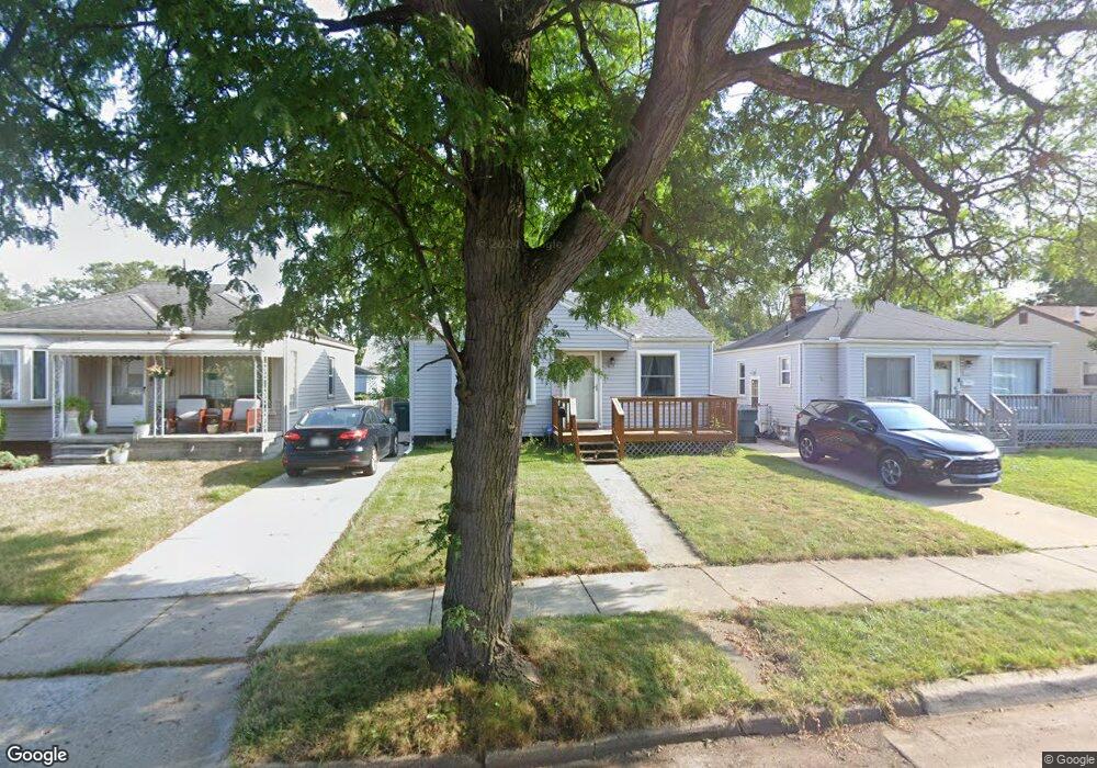
622 Mayflower Ave Lincoln Park, MI 48146
Estimated Value: $119,000 - $131,000
2
Beds
1
Bath
672
Sq Ft
$187/Sq Ft
Est. Value
About This Home
This home is located at 622 Mayflower Ave, Lincoln Park, MI 48146 and is currently estimated at $125,333, approximately $186 per square foot. 622 Mayflower Ave is a home located in Wayne County with nearby schools including Keppen School, Lincoln Park Middle School, and Lincoln Park High School.
Ownership History
Date
Name
Owned For
Owner Type
Purchase Details
Closed on
Oct 24, 2008
Sold by
Preston Steven C
Bought by
K & L Property Llc
Current Estimated Value
Purchase Details
Closed on
Dec 18, 2007
Sold by
Wells Fargo Bank Na
Bought by
Hud
Purchase Details
Closed on
Jun 7, 2007
Sold by
Mckinnon William J
Bought by
Wells Fargo Bank Na
Purchase Details
Closed on
Jul 22, 1996
Sold by
William J and William Dollie K
Bought by
Brian M and Pegouske Cynthia F
Create a Home Valuation Report for This Property
The Home Valuation Report is an in-depth analysis detailing your home's value as well as a comparison with similar homes in the area
Home Values in the Area
Average Home Value in this Area
Purchase History
| Date | Buyer | Sale Price | Title Company |
|---|---|---|---|
| K & L Property Llc | $20,000 | None Available | |
| Hud | -- | None Available | |
| Wells Fargo Bank Na | $99,168 | None Available | |
| Brian M | $55,000 | -- |
Source: Public Records
Tax History Compared to Growth
Tax History
| Year | Tax Paid | Tax Assessment Tax Assessment Total Assessment is a certain percentage of the fair market value that is determined by local assessors to be the total taxable value of land and additions on the property. | Land | Improvement |
|---|---|---|---|---|
| 2025 | $1,520 | $55,300 | $0 | $0 |
| 2024 | $1,520 | $48,400 | $0 | $0 |
| 2023 | $1,443 | $44,400 | $0 | $0 |
| 2022 | $1,608 | $36,300 | $0 | $0 |
| 2021 | $1,569 | $33,900 | $0 | $0 |
| 2020 | $1,553 | $24,700 | $0 | $0 |
| 2019 | $1,301 | $24,600 | $0 | $0 |
| 2018 | $1,201 | $21,700 | $0 | $0 |
| 2017 | $628 | $20,200 | $0 | $0 |
| 2016 | $1,443 | $20,200 | $0 | $0 |
| 2015 | $1,980 | $19,800 | $0 | $0 |
| 2013 | $2,030 | $21,100 | $0 | $0 |
| 2012 | $1,702 | $21,800 | $5,400 | $16,400 |
Source: Public Records
Map
Nearby Homes
- 524 Pagel Ave
- 444 Detroit Ave
- 520 New York Ave
- 2430 River Dr
- 870 Capitol Ave
- 853 Mill St
- 878 Champaign Rd
- 489 River Ct
- 864 Buckingham Ave
- 817 Lincoln Ave
- 485 Garfield Ave
- 882 Mill St
- 568 Garfield Ave
- 637 Park Ave
- 764 White Ave
- 881 Garfield Ave
- 1051 Capitol Ave
- 808 Kings Hwy
- 633 North Dr
- 650 Cleophus Pkwy
- 626 Mayflower Ave
- 616 Mayflower Ave
- 636 Mayflower Ave
- 640 Mayflower Ave
- 625 Detroit Ave
- 629 Detroit Ave
- 621 Detroit Ave
- 639 Detroit Ave
- 615 Detroit Ave
- 644 Mayflower Ave
- 608 Mayflower Ave
- 625 Mayflower Ave
- 643 Detroit Ave
- 621 Mayflower Ave
- 635 Mayflower Ave
- 615 Mayflower Ave
- 648 Mayflower Ave
- 647 Detroit Ave
- 611 Mayflower Ave
- 639 Mayflower Ave