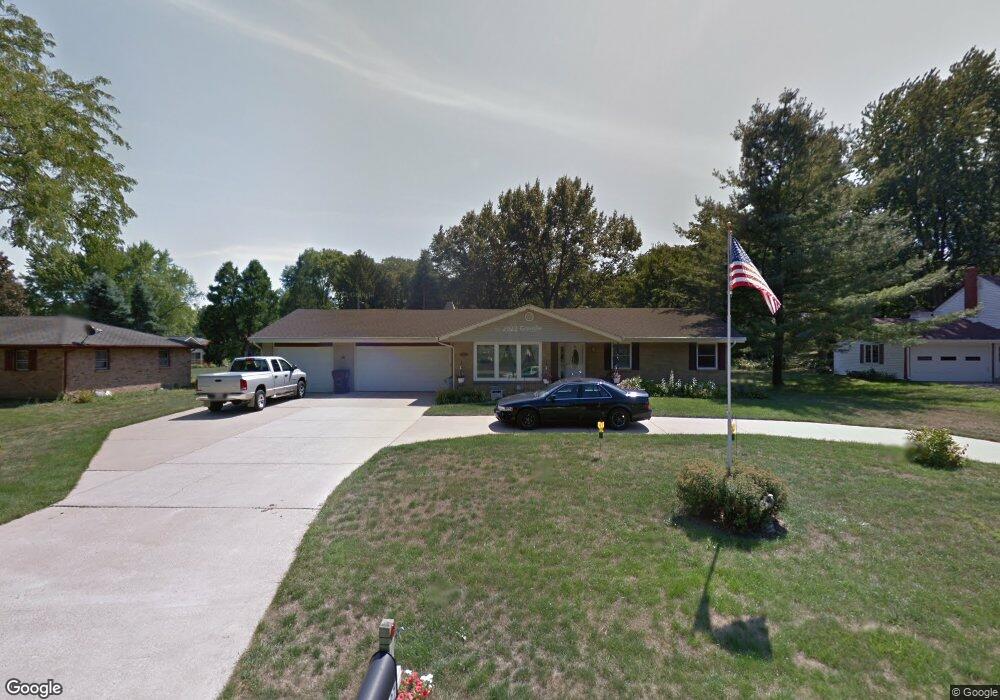
6227 Columbine Blvd Rockford, IL 61108
Estimated Value: $256,000 - $293,000
4
Beds
2
Baths
2,006
Sq Ft
$135/Sq Ft
Est. Value
About This Home
This home is located at 6227 Columbine Blvd, Rockford, IL 61108 and is currently estimated at $270,362, approximately $134 per square foot. 6227 Columbine Blvd is a home located in Winnebago County with nearby schools including Cherry Valley Elementary School, Bernard W. Flinn Middle School, and Rockford East High School.
Ownership History
Date
Name
Owned For
Owner Type
Purchase Details
Closed on
Oct 6, 2016
Sold by
Dennis Smith and Dennis Cynthia A
Bought by
Hansen Charles R and Hansen Tina M
Current Estimated Value
Home Financials for this Owner
Home Financials are based on the most recent Mortgage that was taken out on this home.
Original Mortgage
$114,000
Outstanding Balance
$77,335
Interest Rate
5.25%
Mortgage Type
New Conventional
Estimated Equity
$193,027
Purchase Details
Closed on
May 20, 1994
Bought by
Hansen Charles R and Hansen Tina M
Create a Home Valuation Report for This Property
The Home Valuation Report is an in-depth analysis detailing your home's value as well as a comparison with similar homes in the area
Home Values in the Area
Average Home Value in this Area
Purchase History
| Date | Buyer | Sale Price | Title Company |
|---|---|---|---|
| Hansen Charles R | -- | -- | |
| Hansen Charles R | $119,000 | -- |
Source: Public Records
Mortgage History
| Date | Status | Borrower | Loan Amount |
|---|---|---|---|
| Open | Hansen Charles R | $114,000 | |
| Closed | Hansen Charles R | $29,600 |
Source: Public Records
Tax History Compared to Growth
Tax History
| Year | Tax Paid | Tax Assessment Tax Assessment Total Assessment is a certain percentage of the fair market value that is determined by local assessors to be the total taxable value of land and additions on the property. | Land | Improvement |
|---|---|---|---|---|
| 2024 | $2,476 | $66,650 | $7,019 | $59,631 |
| 2023 | $2,683 | $59,062 | $6,189 | $52,873 |
| 2022 | $2,926 | $52,791 | $5,532 | $47,259 |
| 2021 | $3,123 | $48,405 | $5,072 | $43,333 |
| 2020 | $3,263 | $45,760 | $4,795 | $40,965 |
| 2019 | $4,209 | $43,614 | $4,570 | $39,044 |
| 2018 | $4,139 | $41,103 | $4,307 | $36,796 |
| 2017 | $4,099 | $39,337 | $4,122 | $35,215 |
| 2016 | $4,066 | $38,600 | $4,045 | $34,555 |
| 2015 | $4,110 | $38,600 | $4,045 | $34,555 |
| 2014 | $3,612 | $35,069 | $5,057 | $30,012 |
Source: Public Records
Map
Nearby Homes
- 2419 Mandrake Dr
- 2518 Mandrake Dr
- 6471 Myrtle Ln
- 5982 Columbia Pkwy
- 6548 Charles St
- 6325 Grassridge Rd
- 2923 Panorama Dr
- 1615 S Mulford Rd
- 5661 Einor Ave
- 3202 Cavendish Dr
- 3265 Cavendish Dr
- 5384 Dierks Dr
- 5384 Dierks Dr Unit 17
- 5334 Dierks Dr Unit 12
- 6684 Newburg Rd
- 14 Acres Perryville & Fincham Rd
- 4 Acres Perryville & Fincham Rd
- 1529 Kerstin Ct
- 2225 Welworth Ave
- 6636 Timberline Ln Unit 2
- 6211 Columbine Blvd
- 6239 Columbine Blvd
- 2408 Woodfern Way
- 2404 Woodfern Way
- 6251 Columbine Blvd
- 2407 Primrose Place
- 2219 Bluebell Trail
- 2402 Woodfern Way
- 2401 Primrose Place
- 2412 Woodfern Way
- 2218 Pinedrop Pkwy
- 2216 Bluebell Trail
- 2411 Primrose Place
- 2215 Bluebell Trail
- 6262 Columbine Blvd
- 2401 Woodfern Way
- 2303 Pinedrop Pkwy
- 2214 Pinedrop Pkwy
- 2416 Woodfern Way