6234 Co Rd 255 Westcliffe, CO 81252
Estimated Value: $71,373 - $129,000
--
Bed
--
Bath
--
Sq Ft
10.82
Acres
About This Home
This home is located at 6234 Co Rd 255, Westcliffe, CO 81252 and is currently estimated at $90,791. 6234 Co Rd 255 is a home located in Custer County with nearby schools including Custer County Elementary School, Custer Middle School, and Custer County High School.
Ownership History
Date
Name
Owned For
Owner Type
Purchase Details
Closed on
Dec 10, 2003
Sold by
Sims Dana L
Bought by
Hamil Hilary A and Hamil Craig O
Current Estimated Value
Purchase Details
Closed on
Oct 9, 2001
Sold by
Michael Dale Kevin
Bought by
Sims Dana L
Purchase Details
Closed on
Sep 21, 1998
Sold by
Ann Michael Dale K and Ann Michael Elizabeth
Bought by
Michael Dale Kevin
Purchase Details
Closed on
Jul 25, 1997
Sold by
Sims Dana
Bought by
Ann Michael Dale K and Ann Michael Elizabeth
Purchase Details
Closed on
Jan 20, 1993
Sold by
Sims Craig E
Bought by
Sims Dana L
Create a Home Valuation Report for This Property
The Home Valuation Report is an in-depth analysis detailing your home's value as well as a comparison with similar homes in the area
Home Values in the Area
Average Home Value in this Area
Purchase History
| Date | Buyer | Sale Price | Title Company |
|---|---|---|---|
| Hamil Hilary A | $55,000 | -- | |
| Sims Dana L | -- | -- | |
| Michael Dale Kevin | -- | -- | |
| Ann Michael Dale K | $47,500 | -- | |
| Sims Dana L | $31,000 | -- |
Source: Public Records
Tax History Compared to Growth
Tax History
| Year | Tax Paid | Tax Assessment Tax Assessment Total Assessment is a certain percentage of the fair market value that is determined by local assessors to be the total taxable value of land and additions on the property. | Land | Improvement |
|---|---|---|---|---|
| 2024 | $666 | $10,570 | $0 | $0 |
| 2023 | $666 | $10,570 | $0 | $0 |
| 2022 | $583 | $8,790 | $8,790 | $0 |
| 2021 | $581 | $8,790 | $8,790 | $0 |
| 2020 | $492 | $7,530 | $7,530 | $0 |
| 2019 | $489 | $7,530 | $7,530 | $0 |
| 2018 | $492 | $7,530 | $7,530 | $0 |
| 2017 | $477 | $7,531 | $7,531 | $0 |
| 2016 | $458 | $7,530 | $7,530 | $0 |
| 2015 | $460 | $25,968 | $25,968 | $0 |
| 2012 | $441 | $25,968 | $25,968 | $0 |
Source: Public Records
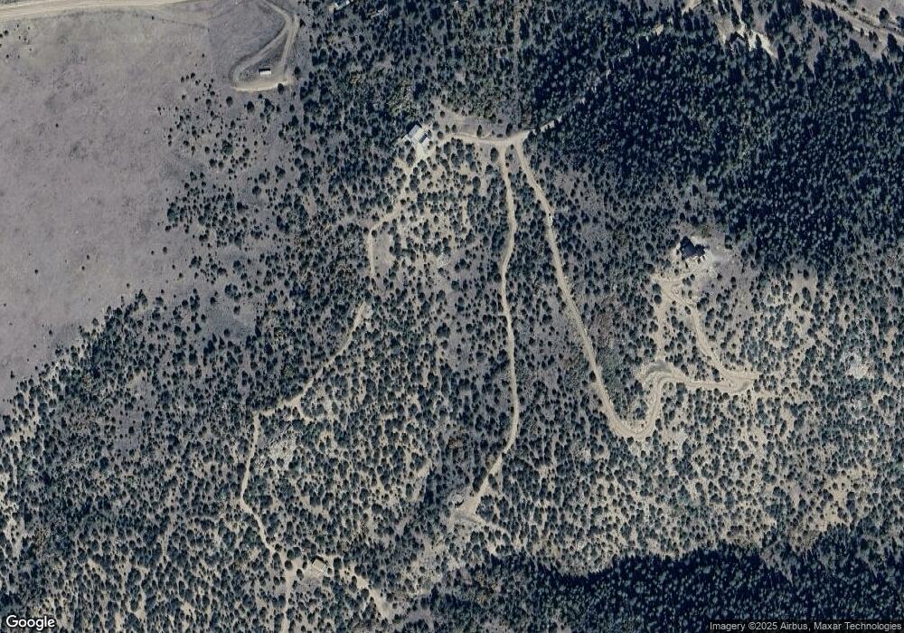
Map
Nearby Homes
- 6214 County Road 255
- 6214 Cr 255
- TBD L14 County Road 255
- TBD L13 County Road 255
- TBD L3 County Road 255
- TBD L 13 County Road 255
- TBD L15 County Road 255
- TBD L1/L19 County Road 255
- TBD L9 County Road 255
- TBD L7 County Road 255
- TBD L2 County Road 255
- TBD L12 County Road 255
- L1 & L19 County Road 255
- TBD L8 County Road 255
- 896 Domingo Way
- 7073 County Road 255
- 570 Rocky Ridge Rd
- 500 Painted Canyon Dr
- 1070 Electric Ave
- 6234 County Road 255
- 6234 Cr 255
- 6234 Cr 255 Unit 10
- 6186 County Road 255
- 339 County Road 203
- 309 Cr 203
- 309 County Road 203
- 339 County Road 203
- 238 Spruce Dr
- 238 Spruce Dr Unit 26
- 6260 County Road 255
- 6172 County Road 255
- 6272 County Road 255
- 6272 Cr 255
- 6042 County Road 255
- 272 Spruce Dr
- 1135 Driftwood Rd
- 6382 County Road 255
- 6382 County Rd 255 Unit 23
- 306 Spruce Dr