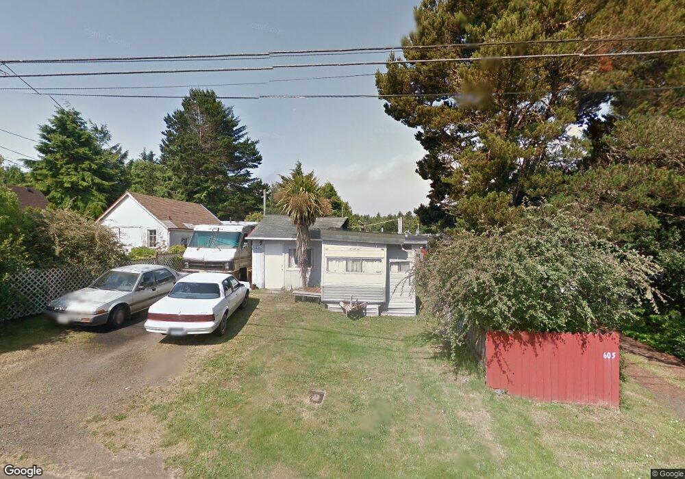
625 SE Port Ave Lincoln City, OR 97367
Estimated Value: $240,469 - $306,000
--
Bed
--
Bath
416
Sq Ft
$658/Sq Ft
Est. Value
About This Home
This home is located at 625 SE Port Ave, Lincoln City, OR 97367 and is currently estimated at $273,867, approximately $658 per square foot. 625 SE Port Ave is a home located in Lincoln County with nearby schools including Taft Elementary School, Oceanlake Elementary School, and Taft High School.
Ownership History
Date
Name
Owned For
Owner Type
Purchase Details
Closed on
Aug 14, 2015
Sold by
Dollar Jonathon S and Dollar Rodney R
Bought by
Oniel John
Current Estimated Value
Purchase Details
Closed on
Mar 16, 2010
Sold by
Dollar Lorraine and Dollar Rodney
Bought by
Dollar Rodney R
Purchase Details
Closed on
Aug 10, 2009
Sold by
May Joann and Dollar Richard
Bought by
Dollar Lorraine and Dollar Rodney
Purchase Details
Closed on
Aug 2, 2005
Sold by
Dollar Rodney R
Bought by
Dollar Joann May and Dollar Richard A
Create a Home Valuation Report for This Property
The Home Valuation Report is an in-depth analysis detailing your home's value as well as a comparison with similar homes in the area
Home Values in the Area
Average Home Value in this Area
Purchase History
| Date | Buyer | Sale Price | Title Company |
|---|---|---|---|
| Oniel John | -- | None Available | |
| Dollar Rodney R | -- | None Available | |
| Dollar Lorraine | -- | None Available | |
| Dollar Joann May | -- | -- |
Source: Public Records
Tax History Compared to Growth
Tax History
| Year | Tax Paid | Tax Assessment Tax Assessment Total Assessment is a certain percentage of the fair market value that is determined by local assessors to be the total taxable value of land and additions on the property. | Land | Improvement |
|---|---|---|---|---|
| 2024 | $774 | $45,100 | -- | -- |
| 2023 | $753 | $43,790 | $0 | $0 |
| 2022 | $732 | $42,520 | $0 | $0 |
| 2021 | $698 | $41,290 | $0 | $0 |
| 2020 | $682 | $40,090 | $0 | $0 |
| 2019 | $659 | $38,930 | $0 | $0 |
| 2018 | $644 | $37,800 | $0 | $0 |
| 2017 | $616 | $36,700 | $0 | $0 |
| 2016 | $578 | $35,640 | $0 | $0 |
| 2015 | $565 | $34,610 | $0 | $0 |
| 2014 | $551 | $33,610 | $0 | $0 |
| 2013 | -- | $32,640 | $0 | $0 |
Source: Public Records
Map
Nearby Homes
- 2016 SE 8th St
- 720 SE Quay Ave
- 541 SE Oar Ave
- 520 SE Quay Ave
- 380 SE Quay Ave
- 333 SE Oar Ave
- TL1508 + NE East Devils Lake Rd
- 313 SE Oar Ave
- 302 SE Neptune Ave
- 1219 SE Oar Ave
- 691 SE Jetty Ave
- 203 SE Surf Ave
- 210 SE Surf Ave
- T/L 500 SE 14th St
- 331 SE Jetty Ave
- 305 SE Jetty Ave Unit B
- 305 SE Jetty Ave Unit A
- 305 SE Jetty Ave
- Lot 6 SE Marine Ave
- 1455 SE Marine Ave