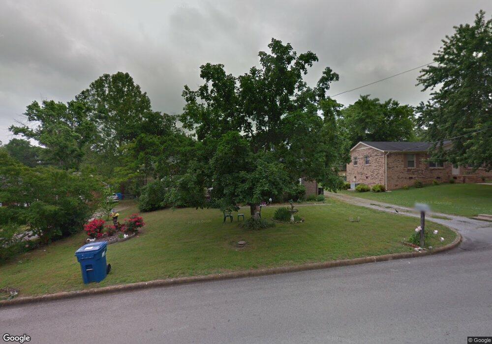
629 Spring St Lewisburg, TN 37091
Estimated Value: $163,549 - $252,000
--
Bed
1
Bath
1,375
Sq Ft
$146/Sq Ft
Est. Value
About This Home
This home is located at 629 Spring St, Lewisburg, TN 37091 and is currently estimated at $201,137, approximately $146 per square foot. 629 Spring St is a home located in Marshall County with nearby schools including Marshall Elementary School, Oak Grove Elementary School, and Westhills Elementary School.
Ownership History
Date
Name
Owned For
Owner Type
Purchase Details
Closed on
May 28, 2002
Sold by
Haislip Michael R
Bought by
Lois Stewart and Lois William
Current Estimated Value
Purchase Details
Closed on
May 24, 2002
Bought by
Jones Stewart Lois
Purchase Details
Closed on
Sep 12, 1997
Sold by
Haislip Michael R
Bought by
Haislip Michael R
Purchase Details
Closed on
Oct 6, 1992
Bought by
Haislip Michael R and Haislip Lillian J
Purchase Details
Closed on
Oct 10, 1986
Bought by
Hollingsworth Edwin and Hollingsworth Sherry
Purchase Details
Closed on
Jul 18, 1986
Bought by
Jent David and Jent Patricia
Create a Home Valuation Report for This Property
The Home Valuation Report is an in-depth analysis detailing your home's value as well as a comparison with similar homes in the area
Home Values in the Area
Average Home Value in this Area
Purchase History
| Date | Buyer | Sale Price | Title Company |
|---|---|---|---|
| Lois Stewart | $56,500 | -- | |
| Jones Stewart Lois | $56,500 | -- | |
| Haislip Michael R | -- | -- | |
| Haislip Michael R | $50,000 | -- | |
| Hollingsworth Edwin | $39,800 | -- | |
| Jent David | $38,000 | -- |
Source: Public Records
Tax History Compared to Growth
Tax History
| Year | Tax Paid | Tax Assessment Tax Assessment Total Assessment is a certain percentage of the fair market value that is determined by local assessors to be the total taxable value of land and additions on the property. | Land | Improvement |
|---|---|---|---|---|
| 2024 | -- | $32,200 | $5,000 | $27,200 |
| 2023 | $1,000 | $32,200 | $5,000 | $27,200 |
| 2022 | $1,000 | $32,200 | $5,000 | $27,200 |
| 2021 | $928 | $19,950 | $3,250 | $16,700 |
| 2020 | $928 | $19,950 | $3,250 | $16,700 |
| 2019 | $898 | $19,950 | $3,250 | $16,700 |
| 2018 | $888 | $19,950 | $3,250 | $16,700 |
| 2017 | $888 | $19,950 | $3,250 | $16,700 |
| 2016 | $956 | $18,675 | $3,000 | $15,675 |
| 2015 | $872 | $18,675 | $3,000 | $15,675 |
| 2014 | $872 | $18,675 | $3,000 | $15,675 |
Source: Public Records
Map
Nearby Homes
- 610 Forrest St
- 525 Maple St
- 518 Maple St
- 640 6th Ave S
- 632 Colburn Dr
- 215 5th Ave N
- 726 Thomas Ave
- 0 New Lake Rd Unit RTC3030964
- 966 Berry St
- 316 Haynes St
- 251 Joyce Ave
- 718 Midway St
- 117 W End Ave N
- 1221 W Commerce St
- 416 1st Ave N
- 0 Joyce Ave
- 240 Joyce Ave
- 108 W End Ave N
- 1111 W End Ave N
- 347 Oakwood Dr