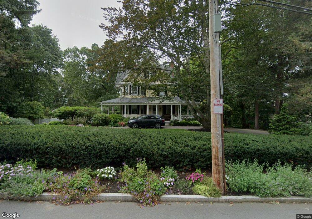
63 Aspen Ave Auburndale, MA 02466
Auburndale NeighborhoodEstimated Value: $2,261,000 - $4,019,000
5
Beds
5
Baths
4,862
Sq Ft
$702/Sq Ft
Est. Value
About This Home
This home is located at 63 Aspen Ave, Auburndale, MA 02466 and is currently estimated at $3,415,412, approximately $702 per square foot. 63 Aspen Ave is a home located in Middlesex County with nearby schools including Williams Elementary School, Charles E Brown Middle School, and Newton South High School.
Ownership History
Date
Name
Owned For
Owner Type
Purchase Details
Closed on
Apr 29, 1994
Sold by
Hillson Robert B
Bought by
Litwin Frank E and Weiler Barbara A
Current Estimated Value
Create a Home Valuation Report for This Property
The Home Valuation Report is an in-depth analysis detailing your home's value as well as a comparison with similar homes in the area
Home Values in the Area
Average Home Value in this Area
Purchase History
| Date | Buyer | Sale Price | Title Company |
|---|---|---|---|
| Litwin Frank E | $755,000 | -- |
Source: Public Records
Mortgage History
| Date | Status | Borrower | Loan Amount |
|---|---|---|---|
| Previous Owner | Litwin Frank E | $150,000 |
Source: Public Records
Tax History Compared to Growth
Tax History
| Year | Tax Paid | Tax Assessment Tax Assessment Total Assessment is a certain percentage of the fair market value that is determined by local assessors to be the total taxable value of land and additions on the property. | Land | Improvement |
|---|---|---|---|---|
| 2025 | $39,912 | $4,072,700 | $1,701,000 | $2,371,700 |
| 2024 | $38,592 | $3,954,100 | $1,651,500 | $2,302,600 |
| 2023 | $37,176 | $3,651,900 | $1,335,500 | $2,316,400 |
| 2022 | $35,565 | $3,380,700 | $1,236,600 | $2,144,100 |
| 2021 | $34,317 | $3,189,300 | $1,166,600 | $2,022,700 |
| 2020 | $33,296 | $3,189,300 | $1,166,600 | $2,022,700 |
| 2019 | $32,357 | $3,096,400 | $1,132,600 | $1,963,800 |
| 2018 | $31,587 | $2,919,300 | $1,000,400 | $1,918,900 |
| 2017 | $30,626 | $2,754,100 | $943,800 | $1,810,300 |
| 2016 | $29,291 | $2,573,900 | $882,100 | $1,691,800 |
| 2015 | $27,928 | $2,405,500 | $824,400 | $1,581,100 |
Source: Public Records
Map
Nearby Homes
- 283 Woodland Rd
- 1754 Washington St
- 17 Lasell St
- 27 Oakwood Rd
- 224 Auburn St Unit 224
- 224 Auburn St Unit A
- 226 Auburn St Unit 226
- 1639 Washington St
- 1640 Commonwealth Ave
- 283 Melrose St
- 13 Weir St
- 2084 Washington St
- 17 Gilbert St
- 10 Lorraine Cir
- 51 Bourne St
- 2202 Commonwealth Ave Unit 2
- 2202 Commonwealth Ave Unit 1
- 17 Deforest Rd
- 62-64 Rowe St Unit B
- 33 Metacomet Rd