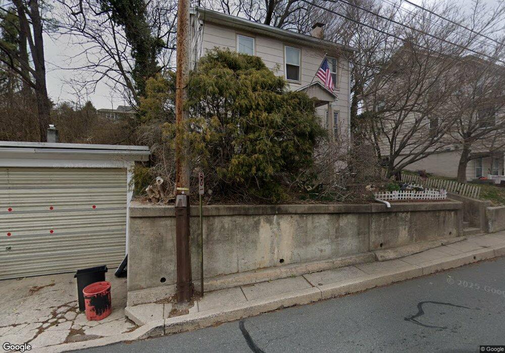
63 W Wyomissing Ave Mohnton, PA 19540
Estimated Value: $189,000 - $211,000
3
Beds
1
Bath
1,272
Sq Ft
$157/Sq Ft
Est. Value
About This Home
This home is located at 63 W Wyomissing Ave, Mohnton, PA 19540 and is currently estimated at $199,855, approximately $157 per square foot. 63 W Wyomissing Ave is a home located in Berks County with nearby schools including Governor Mifflin Intermediate School, Brecknock Elementary School, and Governor Mifflin Middle School.
Ownership History
Date
Name
Owned For
Owner Type
Purchase Details
Closed on
Oct 28, 2005
Sold by
Zook Donald A and Zook Julie L
Bought by
Wanner Arthur W and Wanner Tina M
Current Estimated Value
Home Financials for this Owner
Home Financials are based on the most recent Mortgage that was taken out on this home.
Original Mortgage
$93,496
Interest Rate
6.28%
Mortgage Type
Fannie Mae Freddie Mac
Create a Home Valuation Report for This Property
The Home Valuation Report is an in-depth analysis detailing your home's value as well as a comparison with similar homes in the area
Home Values in the Area
Average Home Value in this Area
Purchase History
| Date | Buyer | Sale Price | Title Company |
|---|---|---|---|
| Wanner Arthur W | $93,496 | None Available |
Source: Public Records
Mortgage History
| Date | Status | Borrower | Loan Amount |
|---|---|---|---|
| Previous Owner | Wanner Arthur W | $93,496 |
Source: Public Records
Tax History Compared to Growth
Tax History
| Year | Tax Paid | Tax Assessment Tax Assessment Total Assessment is a certain percentage of the fair market value that is determined by local assessors to be the total taxable value of land and additions on the property. | Land | Improvement |
|---|---|---|---|---|
| 2025 | $931 | $55,700 | $27,800 | $27,900 |
| 2024 | $2,534 | $55,700 | $27,800 | $27,900 |
| 2023 | $2,468 | $55,700 | $27,800 | $27,900 |
| 2022 | $2,365 | $55,700 | $27,800 | $27,900 |
| 2021 | $2,337 | $55,700 | $27,800 | $27,900 |
| 2020 | $2,337 | $55,700 | $27,800 | $27,900 |
| 2019 | $2,298 | $55,700 | $27,800 | $27,900 |
| 2018 | $2,249 | $55,700 | $27,800 | $27,900 |
| 2017 | $2,204 | $55,700 | $27,800 | $27,900 |
| 2016 | $651 | $55,700 | $27,800 | $27,900 |
| 2015 | $651 | $55,700 | $27,800 | $27,900 |
| 2014 | $637 | $55,700 | $27,800 | $27,900 |
Source: Public Records
Map
Nearby Homes
- 52 W Wyomissing Ave
- 28 N Church St
- 26 E Mohn St
- 13 E Summit St
- 139 Hillcrest Rd
- 165 Hillcrest Rd
- 3 Monroe St
- 206 N Church St
- 18 Front St
- 121 E Summit St
- 140 S Church St
- 120 E Wyomissing Ave
- 131 E Wyomissing Ave
- 15 Lake St
- 611 Maplewood Ave
- 306 Sycamore St
- 614 Wolfe Ln
- 836 Scenic Dr
- 1970 Cedar Top Rd
- 665 Fairmont Ave
- 59 W Wyomissing Ave
- 67 W Wyomissing Ave Unit LOT 1
- 67 W Wyomissing Ave Unit LOT 2
- 67 W Wyomissing Ave
- 57 W Wyomissing Ave
- 53 W Wyomissing Ave
- 53 W Wyomissing Ave Unit 2
- 7 Maple St
- 70 W Wyomissing Ave
- 0 Maple St
- 0 Route 10 Unit 1000258747
- 0 Route 10 Unit 1006428344
- 0 Route 10 Unit 7041005
- 0 Route 10 Unit 5416140
- 64 W Wyomissing Ave
- 111 W Mohn St
- 62 W Wyomissing Ave
- 11 Maple St Unit 2
- 11 Maple St
- 11 Maple St Unit R