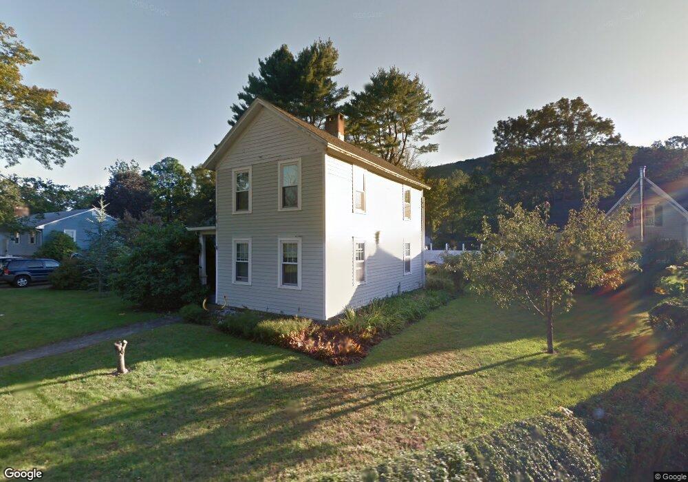
63 Wickett St New Hartford, CT 06057
Estimated Value: $298,000 - $378,000
3
Beds
2
Baths
1,601
Sq Ft
$212/Sq Ft
Est. Value
About This Home
This home is located at 63 Wickett St, New Hartford, CT 06057 and is currently estimated at $338,616, approximately $211 per square foot. 63 Wickett St is a home with nearby schools including Ann Antolini School, Northwestern Regional Middle School, and Northwestern Regional High School.
Ownership History
Date
Name
Owned For
Owner Type
Purchase Details
Closed on
Jul 16, 1996
Sold by
Tong Russell D
Bought by
Palifka Deicy M and Palifka Kenneth W
Current Estimated Value
Home Financials for this Owner
Home Financials are based on the most recent Mortgage that was taken out on this home.
Original Mortgage
$122,859
Interest Rate
7.98%
Mortgage Type
Unknown
Purchase Details
Closed on
Oct 29, 1992
Sold by
Sykes Robert C and Sykes Virginia H
Bought by
Tong Russell D
Home Financials for this Owner
Home Financials are based on the most recent Mortgage that was taken out on this home.
Original Mortgage
$103,200
Interest Rate
7.85%
Mortgage Type
Unknown
Create a Home Valuation Report for This Property
The Home Valuation Report is an in-depth analysis detailing your home's value as well as a comparison with similar homes in the area
Home Values in the Area
Average Home Value in this Area
Purchase History
| Date | Buyer | Sale Price | Title Company |
|---|---|---|---|
| Palifka Deicy M | $120,450 | -- | |
| Tong Russell D | $129,000 | -- |
Source: Public Records
Mortgage History
| Date | Status | Borrower | Loan Amount |
|---|---|---|---|
| Closed | Tong Russell D | $125,606 | |
| Closed | Tong Russell D | $122,859 | |
| Previous Owner | Tong Russell D | $103,200 |
Source: Public Records
Tax History Compared to Growth
Tax History
| Year | Tax Paid | Tax Assessment Tax Assessment Total Assessment is a certain percentage of the fair market value that is determined by local assessors to be the total taxable value of land and additions on the property. | Land | Improvement |
|---|---|---|---|---|
| 2025 | $4,789 | $168,210 | $42,140 | $126,070 |
| 2024 | $4,599 | $168,210 | $42,140 | $126,070 |
| 2023 | $3,679 | $117,460 | $42,140 | $75,320 |
| 2022 | $3,795 | $117,460 | $42,140 | $75,320 |
| 2021 | $3,903 | $117,460 | $42,140 | $75,320 |
| 2020 | $3,786 | $117,460 | $42,140 | $75,320 |
| 2019 | $3,823 | $117,460 | $42,140 | $75,320 |
| 2018 | $3,851 | $116,480 | $42,140 | $74,340 |
| 2017 | $3,723 | $116,480 | $42,140 | $74,340 |
| 2016 | $3,723 | $116,480 | $42,140 | $74,340 |
| 2015 | $3,616 | $116,480 | $42,140 | $74,340 |
| 2014 | $3,457 | $116,480 | $42,140 | $74,340 |
Source: Public Records
Map
Nearby Homes
- 393 Stub Hollow Rd
- 349 Stub Hollow Rd
- 415 Stub Hollow Rd
- 150 Bruning Rd
- 335 Stub Hollow Rd
- 144 Bruning Rd
- 425 Stub Hollow Rd
- 132 Bruning Rd
- 168 Bruning Rd
- 124 Bruning Rd
- 325 Stub Hollow Rd
- 116 Bruning Rd
- 158 Bruning Rd
- 108 Bruning Rd
- 441 Stub Hollow Rd
- 176 Bruning Rd
- 121 Bruning Rd
- 98 Bruning Rd
- 455 Stub Hollow Rd
- 131 Bruning Rd