63 Woster Farm Rd Camden, ME 04843
Estimated Value: $930,000 - $1,117,171
3
Beds
2
Baths
1,414
Sq Ft
$722/Sq Ft
Est. Value
About This Home
This home is located at 63 Woster Farm Rd, Camden, ME 04843 and is currently estimated at $1,021,057, approximately $722 per square foot. 63 Woster Farm Rd is a home located in Knox County with nearby schools including Camden-Rockport Elementary School, Camden-Rockport Middle School, and Camden Hills Regional High School.
Ownership History
Date
Name
Owned For
Owner Type
Purchase Details
Closed on
Nov 18, 2022
Sold by
Woster Farm Llc
Bought by
Leeper Paul C and Leeper James K
Current Estimated Value
Home Financials for this Owner
Home Financials are based on the most recent Mortgage that was taken out on this home.
Original Mortgage
$281,000
Outstanding Balance
$269,474
Interest Rate
5.38%
Mortgage Type
Purchase Money Mortgage
Estimated Equity
$751,583
Create a Home Valuation Report for This Property
The Home Valuation Report is an in-depth analysis detailing your home's value as well as a comparison with similar homes in the area
Home Values in the Area
Average Home Value in this Area
Purchase History
| Date | Buyer | Sale Price | Title Company |
|---|---|---|---|
| Leeper Paul C | -- | None Available |
Source: Public Records
Mortgage History
| Date | Status | Borrower | Loan Amount |
|---|---|---|---|
| Open | Leeper Paul C | $281,000 |
Source: Public Records
Tax History Compared to Growth
Tax History
| Year | Tax Paid | Tax Assessment Tax Assessment Total Assessment is a certain percentage of the fair market value that is determined by local assessors to be the total taxable value of land and additions on the property. | Land | Improvement |
|---|---|---|---|---|
| 2024 | $9,602 | $914,500 | $808,000 | $106,500 |
| 2023 | $9,645 | $698,900 | $609,500 | $89,400 |
| 2022 | $9,225 | $698,900 | $609,500 | $89,400 |
| 2021 | $8,069 | $525,700 | $446,000 | $79,700 |
| 2020 | $7,901 | $525,700 | $446,000 | $79,700 |
| 2019 | $7,838 | $525,700 | $446,000 | $79,700 |
| 2018 | $7,558 | $507,900 | $437,400 | $70,500 |
| 2017 | $7,304 | $507,900 | $437,400 | $70,500 |
| 2016 | $6,987 | $448,200 | $370,200 | $78,000 |
| 2015 | $6,781 | $448,200 | $370,200 | $78,000 |
| 2014 | $6,468 | $448,200 | $370,200 | $78,000 |
| 2013 | $6,293 | $448,200 | $370,200 | $78,000 |
Source: Public Records
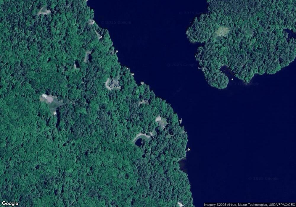
Map
Nearby Homes
- 92 Camden Rd
- 161 Beaucaire Ave
- 56 Camden Rd
- 13 Hemlock Dr
- 111 Start Rd
- Part of Map 26 Lot 46 & 48 Mullins Bog Rd
- 315 Beaucaire Ave
- Lot 58 Camden Rd
- 424 Molyneaux Rd
- 2 Bald Mountain Rd
- 6 Rd
- 11 A Mountainside Park
- 0 Hatchet Mountain Rd
- 00 Thurlow Rd
- 103 Thurlow Rd
- 43 Melvin Heights Rd
- 68 Norton Pond Rd
- 110 Mountain St
- 80 Cobb Rd
- 10 Glenfield Cir
- 65 Woster Farm Rd
- 35 Woster Farm Rd
- 71 Woster Farm Rd
- 45 Woster Farm Rd
- 75 Woster Farm Rd
- 107 Woster Farm Rd
- 145 Woster Farm Rd
- 0 Wooster Farm Road and Route105
- 45 Carle Farm Rd
- 4 Camden Rd
- Lot 1 Penny Ln
- Lot #1 Penny Ln
- 31 Carle Farm Rd
- 840 Hope Rd
- 835 Hope Rd
- 0 Penny
- 0 Penny
- 0 Lot 2 Penny Ln Unit 1239229
- Lot 2 Penny Ln
- Lot #2 Penny Ln