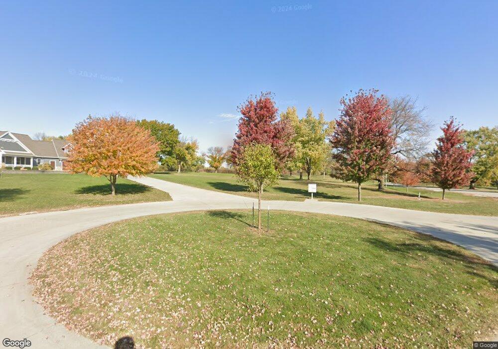
Estimated Value: $537,000 - $601,000
2
Beds
2
Baths
1,182
Sq Ft
$486/Sq Ft
Est. Value
About This Home
This home is located at 630 W 190th St, Ames, IA 50010 and is currently estimated at $573,877, approximately $485 per square foot. 630 W 190th St is a home with nearby schools including Gilbert Elementary School, Gilbert Intermediate School, and Gilbert Middle School.
Ownership History
Date
Name
Owned For
Owner Type
Purchase Details
Closed on
Sep 30, 2024
Sold by
Mccall Properties Llc
Bought by
Ronald & Patricia Ubrun Trust and Ubrun
Current Estimated Value
Purchase Details
Closed on
Feb 28, 2017
Sold by
Five Winks Llc
Bought by
Mccall Properties Llc
Purchase Details
Closed on
Dec 5, 2012
Sold by
Winkleblack Charles E and Winkleblack Debra A
Bought by
Five Winks Llc
Create a Home Valuation Report for This Property
The Home Valuation Report is an in-depth analysis detailing your home's value as well as a comparison with similar homes in the area
Home Values in the Area
Average Home Value in this Area
Purchase History
| Date | Buyer | Sale Price | Title Company |
|---|---|---|---|
| Ronald & Patricia Ubrun Trust | $562,000 | None Listed On Document | |
| Mccall Properties Llc | $125,000 | None Available | |
| Five Winks Llc | $500 | None Available |
Source: Public Records
Tax History Compared to Growth
Tax History
| Year | Tax Paid | Tax Assessment Tax Assessment Total Assessment is a certain percentage of the fair market value that is determined by local assessors to be the total taxable value of land and additions on the property. | Land | Improvement |
|---|---|---|---|---|
| 2025 | $8,022 | $606,000 | $124,300 | $481,700 |
| 2024 | $7,572 | $600,000 | $126,400 | $473,600 |
| 2023 | $7,306 | $600,000 | $126,400 | $473,600 |
| 2022 | $7,266 | $494,000 | $93,700 | $400,300 |
| 2021 | $7,674 | $494,000 | $93,700 | $400,300 |
| 2020 | $7,780 | $486,800 | $86,500 | $400,300 |
| 2019 | $7,780 | $486,800 | $86,500 | $400,300 |
| 2018 | $2,072 | $124,700 | $65,300 | $59,400 |
| 2017 | $2,072 | $124,700 | $65,300 | $59,400 |
| 2016 | $1,986 | $120,000 | $65,300 | $54,700 |
| 2015 | $1,986 | $120,000 | $65,300 | $54,700 |
| 2014 | $1,954 | $120,000 | $65,300 | $54,700 |
Source: Public Records
Map
Nearby Homes
- 5007 Skycrest Dr
- 1827 Ledges Dr
- 1914 Ada Hayden Rd
- 1920 Ada Hayden Rd
- 2006 Aikman Dr
- 2007 Ketelsen Dr
- 2015 Lacey Dr
- 2017 Lacey Dr
- 2108 Aikman Dr
- 2242 Ketelsen Dr
- 2206 Ketelsen Dr
- 2102 Aikman Dr
- 2113 Ada Hayden Rd
- 2123 Ketelsen Dr
- 2219 Ketelsen Dr
- 4882 Copperstone Dr
- 3917 Fletcher Ct
- 1604 Stone Brooke Rd
- 3811 Columbine Ave
- 3814 Brookdale Ave
- 572 Rookwood Dr
- 5817 Oak Crest Cir
- 5817 Oak Crest Cir
- 558 Rookwood Dr
- 544 Rookwood Dr
- 615 Rookwood Dr
- 5854 Oak Crest Cir
- 536 Rookwood Dr
- 535 Rookwood Dr
- 518 Rookwood Dr
- 5822 Oak Crest Cir
- 519 Rookwood Dr
- 5760 Us Highway 69
- 502 Rookwood Dr
- 5698 U S 69
- 5698 Us Highway 69
- 503 Rookwood Dr
- 6139 Us Highway 69
- 484 Rookwood Dr
- 5605 Bill Brooks Blvd
