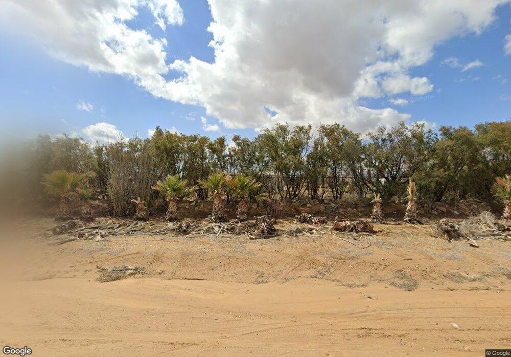
6300 W Supai Dr Golden Valley, AZ 86413
Estimated Value: $229,837
--
Bed
--
Bath
1,200
Sq Ft
$192/Sq Ft
Est. Value
About This Home
This home is located at 6300 W Supai Dr, Golden Valley, AZ 86413 and is currently estimated at $229,837, approximately $191 per square foot. 6300 W Supai Dr is a home located in Mohave County with nearby schools including Lee Williams High School.
Ownership History
Date
Name
Owned For
Owner Type
Purchase Details
Closed on
Feb 27, 2023
Sold by
Cropper Kalli
Bought by
Mayhew David W and Kist Jeff W
Current Estimated Value
Home Financials for this Owner
Home Financials are based on the most recent Mortgage that was taken out on this home.
Original Mortgage
$180,000
Outstanding Balance
$174,549
Interest Rate
6.33%
Mortgage Type
Seller Take Back
Estimated Equity
$55,288
Purchase Details
Closed on
May 23, 2022
Sold by
Kalli Cropper
Bought by
Threefold Cord Family Trust
Purchase Details
Closed on
Sep 25, 2019
Sold by
Turner Mike
Bought by
Cropper Kevin and Cropper Kalli
Home Financials for this Owner
Home Financials are based on the most recent Mortgage that was taken out on this home.
Original Mortgage
$30,000
Interest Rate
3.5%
Mortgage Type
Seller Take Back
Purchase Details
Closed on
Mar 11, 2005
Sold by
Russo Ernesto and Russo Villia Rocco
Bought by
Turner Mike
Create a Home Valuation Report for This Property
The Home Valuation Report is an in-depth analysis detailing your home's value as well as a comparison with similar homes in the area
Home Values in the Area
Average Home Value in this Area
Purchase History
| Date | Buyer | Sale Price | Title Company |
|---|---|---|---|
| Mayhew David W | $215,000 | Pioneer Title | |
| Threefold Cord Family Trust | -- | None Listed On Document | |
| Cropper Kevin | $60,000 | Pioneer Title Agency Inc | |
| Turner Mike | $72,500 | Capital Title Agency Inc |
Source: Public Records
Mortgage History
| Date | Status | Borrower | Loan Amount |
|---|---|---|---|
| Open | Mayhew David W | $180,000 | |
| Previous Owner | Cropper Kevin | $30,000 |
Source: Public Records
Tax History Compared to Growth
Tax History
| Year | Tax Paid | Tax Assessment Tax Assessment Total Assessment is a certain percentage of the fair market value that is determined by local assessors to be the total taxable value of land and additions on the property. | Land | Improvement |
|---|---|---|---|---|
| 2026 | $714 | -- | -- | -- |
| 2025 | $1,443 | $26,364 | $0 | $0 |
| 2024 | $1,443 | $22,429 | $0 | $0 |
| 2023 | $1,443 | $17,742 | $0 | $0 |
| 2022 | $1,375 | $17,844 | $0 | $0 |
| 2021 | $1,418 | $14,561 | $0 | $0 |
| 2019 | $1,214 | $9,518 | $0 | $0 |
| 2017 | $1,157 | $9,607 | $0 | $0 |
| 2016 | $1,801 | $13,301 | $0 | $0 |
| 2015 | $1,859 | $14,865 | $0 | $0 |
Source: Public Records
Map
Nearby Homes
- 1074 Ligurta Rd
- 016T W Claim Dr
- 6064 W Chino Dr
- 016S W Claim Dr
- 3456 Lochiel Rd
- 6671 Brook Dr
- TBD Hwy 68
- 10 AC Colorado Rd
- 001 N Laredo Rd
- 000 N Laredo Rd
- 6510 Nielsen Way
- 397 S Lochiel Rd
- 407 S Lochiel Rd
- 3587 N Horse Mesa Rd
- 3685 Teddy Roosevelt Rd
- 6614 W Brook Dr
- 6614 Brook Dr
- 3710 N Horse Mesa Rd
- 1205 Teddy Roosevelt Rd
- Lot 10 Stewart Mountain Rd
- 3406 N La Palma Rd
- 6357 W Supai Dr
- 00000000 N Ligurta Rd
- 3.64 Acres Highway 68 --
- 3.64 Acres Us Hwy 68
- 6373 W Supai Dr
- 3.64 Acres Us Hwy 68 --
- 3.64 Acres Us Hwy 68 --
- 3.64 Acres Us Hwy 68 --
- 000 La Osa Dr
- 000 La Osa Road 63a
- 00000 N La Osa Rd
- 0000 S La Osa Rd
- 6389 W Supai Dr
- 3453 N La Palma Rd
- 3442 N La Osa Rd
- 14.76 Acre Az-68 --
- 6405 W Supai Dr
- 6405 W Supai Dr Unit 22
- 6405 W Supai Dr
