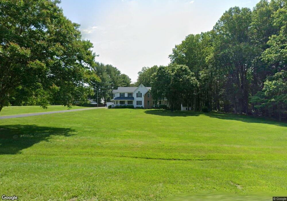
6305 Earl St Owings, MD 20736
Estimated Value: $689,298 - $901,000
--
Bed
3
Baths
3,464
Sq Ft
$221/Sq Ft
Est. Value
About This Home
This home is located at 6305 Earl St, Owings, MD 20736 and is currently estimated at $765,325, approximately $220 per square foot. 6305 Earl St is a home located in Calvert County with nearby schools including Sunderland Elementary School, Northern Middle School, and Northern High School.
Ownership History
Date
Name
Owned For
Owner Type
Purchase Details
Closed on
Jul 24, 1991
Sold by
Nims Daniel F and Nims Trudee K
Bought by
Cerrito Michael F and Cerrito Anne M
Current Estimated Value
Home Financials for this Owner
Home Financials are based on the most recent Mortgage that was taken out on this home.
Original Mortgage
$188,050
Interest Rate
9.54%
Purchase Details
Closed on
Mar 6, 1990
Sold by
Russell Murray J and Russell Morgan E
Bought by
Nims Daniel F and Nims Trudee K
Home Financials for this Owner
Home Financials are based on the most recent Mortgage that was taken out on this home.
Original Mortgage
$187,450
Interest Rate
10.23%
Create a Home Valuation Report for This Property
The Home Valuation Report is an in-depth analysis detailing your home's value as well as a comparison with similar homes in the area
Home Values in the Area
Average Home Value in this Area
Purchase History
| Date | Buyer | Sale Price | Title Company |
|---|---|---|---|
| Cerrito Michael F | $235,100 | -- | |
| Nims Daniel F | $241,200 | -- |
Source: Public Records
Mortgage History
| Date | Status | Borrower | Loan Amount |
|---|---|---|---|
| Closed | Cerrito Michael F | $188,050 | |
| Previous Owner | Nims Daniel F | $187,450 |
Source: Public Records
Tax History Compared to Growth
Tax History
| Year | Tax Paid | Tax Assessment Tax Assessment Total Assessment is a certain percentage of the fair market value that is determined by local assessors to be the total taxable value of land and additions on the property. | Land | Improvement |
|---|---|---|---|---|
| 2025 | $5,600 | $540,633 | $0 | $0 |
| 2024 | $5,600 | $498,900 | $172,500 | $326,400 |
| 2023 | $5,239 | $483,667 | $0 | $0 |
| 2022 | $5,078 | $468,433 | $0 | $0 |
| 2021 | $4,727 | $453,200 | $172,500 | $280,700 |
| 2020 | $4,727 | $433,100 | $0 | $0 |
| 2019 | $4,534 | $413,000 | $0 | $0 |
| 2018 | $4,311 | $392,900 | $172,500 | $220,400 |
| 2017 | $4,366 | $392,900 | $0 | $0 |
| 2016 | -- | $392,900 | $0 | $0 |
| 2015 | $4,800 | $396,600 | $0 | $0 |
| 2014 | $4,800 | $396,600 | $0 | $0 |
Source: Public Records
Map
Nearby Homes
- 1965 Lowery Rd
- 6440 Briarwood Dr
- 2550 Redbud Ln
- 2520 Lower Marlboro Rd
- 7120 Bluegrass Way
- 6030 Clairemont Dr
- 5650 Collington Ct
- 1030 Stephen Reid Dr
- 1730 Pinkneys Field Dr
- 360 Hoile Ln
- 215 Hoile Ln
- 550 Carla Dr
- 3446 Chaneyville Rd
- 5460 Solomons Island Rd
- 125 Prospect Dr
- 331 C Jones Rd
- 4618 Green Ridge Ct
- 7425 Danbridge Ln
- 130 Walnut Creek Rd
- 7818 Lake Shore Dr
- 6325 Earl St
- 6355 Earl St
- 6295 Earl St
- 6300 Earl St
- 6375 Earl St
- 6275 Earl St
- 6270 Earl St
- 2124 Lower Marlboro Rd
- 6354 Earl St
- 6360 Dant Dr
- 6265 Earl St
- 6350 Dant Dr
- 6255 Earl St
- 6245 Earl St
- 2111 Lower Marlboro Rd
- 6250 Earl St
- 6410 Dant Dr
- 2130 Lower Marlboro Rd
- 2141 Lower Marlboro Rd
- 2101 Lower Marlboro Rd