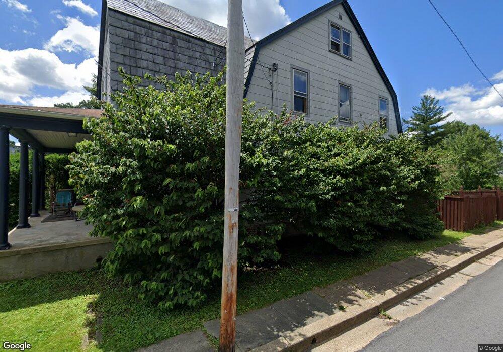
6308 Old Harford Rd Baltimore, MD 21214
Christopher NeighborhoodEstimated Value: $277,214 - $307,000
--
Bed
2
Baths
2,150
Sq Ft
$136/Sq Ft
Est. Value
About This Home
This home is located at 6308 Old Harford Rd, Baltimore, MD 21214 and is currently estimated at $292,107, approximately $135 per square foot. 6308 Old Harford Rd is a home located in Baltimore City with nearby schools including Hamilton Elementary Middle School, Booker T. Washington Middle School, and Paul Laurence Dunbar High School.
Ownership History
Date
Name
Owned For
Owner Type
Purchase Details
Closed on
Feb 21, 1995
Sold by
Stevenson Robert W
Bought by
Sutter Frederick G
Current Estimated Value
Home Financials for this Owner
Home Financials are based on the most recent Mortgage that was taken out on this home.
Original Mortgage
$80,750
Interest Rate
9.19%
Create a Home Valuation Report for This Property
The Home Valuation Report is an in-depth analysis detailing your home's value as well as a comparison with similar homes in the area
Home Values in the Area
Average Home Value in this Area
Purchase History
| Date | Buyer | Sale Price | Title Company |
|---|---|---|---|
| Sutter Frederick G | $85,000 | -- |
Source: Public Records
Mortgage History
| Date | Status | Borrower | Loan Amount |
|---|---|---|---|
| Closed | Sutter Frederick G | $80,750 |
Source: Public Records
Tax History Compared to Growth
Tax History
| Year | Tax Paid | Tax Assessment Tax Assessment Total Assessment is a certain percentage of the fair market value that is determined by local assessors to be the total taxable value of land and additions on the property. | Land | Improvement |
|---|---|---|---|---|
| 2025 | $4,012 | $193,967 | -- | -- |
| 2024 | $4,012 | $185,100 | $55,400 | $129,700 |
| 2023 | $3,891 | $180,367 | $0 | $0 |
| 2022 | $3,786 | $175,633 | $0 | $0 |
| 2021 | $4,033 | $170,900 | $55,400 | $115,500 |
| 2020 | $3,648 | $169,600 | $0 | $0 |
| 2019 | $3,484 | $168,300 | $0 | $0 |
| 2018 | $3,408 | $167,000 | $55,400 | $111,600 |
| 2017 | $3,307 | $165,200 | $0 | $0 |
| 2016 | $2,847 | $163,400 | $0 | $0 |
| 2015 | $2,847 | $161,600 | $0 | $0 |
| 2014 | $2,847 | $161,600 | $0 | $0 |
Source: Public Records
Map
Nearby Homes
- 6419 Marietta Ave
- 2803 Fleetwood Ave
- 2821 Hemlock Ave
- 6405 Birchwood Ave
- 2905 Westfield Ave
- 6110 Old Harford Rd
- 2808 E Northern Pkwy
- 2803 Berwick Ave
- 2926 Christopher Ave
- 2810 Roselawn Ave
- 2924 Fleetwood Ave
- 6407 Fernbank Ave
- 2412 Pinewood Ave
- 2707 Kildaire Dr
- 3013 Westfield Ave
- 2600 Roselawn Ave
- 2607 Chesley Ave
- 2405 E Northern Pkwy
- 2715 Bayonne Ave
- 6910 Old Harford Rd
- 6304 Old Harford Rd
- 2718 Westfield Ave
- 6400 Old Harford Rd
- 6300 Old Harford Rd
- 2716 Westfield Ave
- 2717 Westfield Ave
- 6402 Old Harford Rd
- 2714 Westfield Ave
- 6401 Old Harford Rd
- 2726 Louise Ave
- 2724 Louise Ave
- 2713 Westfield Ave
- 2712 Westfield Ave
- 2722 Louise Ave
- 2730 Louise Ave
- 6403 Old Harford Rd
- 6404 Old Harford Rd
- 6307 Old Harford Rd
- 6305 Old Harford Rd
- 2720 Louise Ave