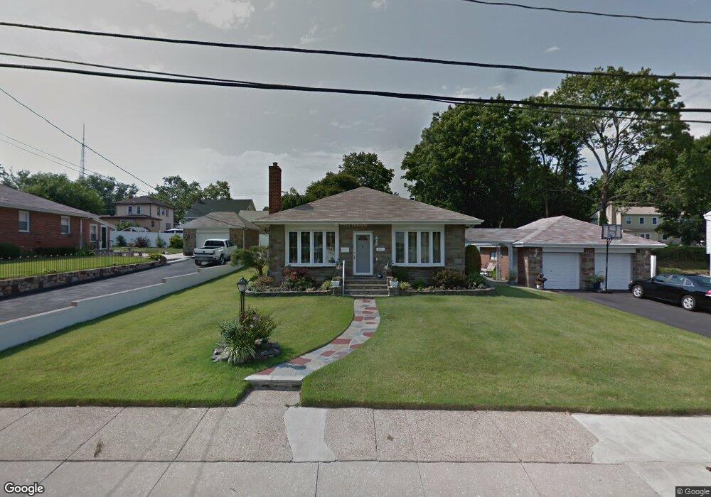
631 Cheswick Rd Philadelphia, PA 19128
Upper Roxborough NeighborhoodEstimated Value: $410,000 - $537,000
--
Bed
--
Bath
1,655
Sq Ft
$283/Sq Ft
Est. Value
About This Home
This home is located at 631 Cheswick Rd, Philadelphia, PA 19128 and is currently estimated at $467,695, approximately $282 per square foot. 631 Cheswick Rd is a home located in Philadelphia County with nearby schools including Shawmont School, Roxborough High School, and Green Woods CS.
Ownership History
Date
Name
Owned For
Owner Type
Purchase Details
Closed on
Jul 29, 2005
Sold by
Forti Vince J and Forti Vince J
Bought by
Swann Frank and Swann Mildred G
Current Estimated Value
Home Financials for this Owner
Home Financials are based on the most recent Mortgage that was taken out on this home.
Original Mortgage
$260,000
Outstanding Balance
$136,581
Interest Rate
5.66%
Mortgage Type
Fannie Mae Freddie Mac
Estimated Equity
$331,114
Create a Home Valuation Report for This Property
The Home Valuation Report is an in-depth analysis detailing your home's value as well as a comparison with similar homes in the area
Home Values in the Area
Average Home Value in this Area
Purchase History
| Date | Buyer | Sale Price | Title Company |
|---|---|---|---|
| Swann Frank | $330,000 | -- |
Source: Public Records
Mortgage History
| Date | Status | Borrower | Loan Amount |
|---|---|---|---|
| Open | Swann Frank | $260,000 |
Source: Public Records
Tax History Compared to Growth
Tax History
| Year | Tax Paid | Tax Assessment Tax Assessment Total Assessment is a certain percentage of the fair market value that is determined by local assessors to be the total taxable value of land and additions on the property. | Land | Improvement |
|---|---|---|---|---|
| 2025 | $4,618 | $404,600 | $80,920 | $323,680 |
| 2024 | $4,618 | $404,600 | $80,920 | $323,680 |
| 2023 | $4,618 | $329,900 | $65,980 | $263,920 |
| 2022 | $3,108 | $284,900 | $65,980 | $218,920 |
| 2021 | $3,737 | $0 | $0 | $0 |
| 2020 | $3,737 | $0 | $0 | $0 |
| 2019 | $3,673 | $0 | $0 | $0 |
| 2018 | $3,336 | $0 | $0 | $0 |
| 2017 | $3,336 | $0 | $0 | $0 |
| 2016 | $2,916 | $0 | $0 | $0 |
| 2015 | $2,791 | $0 | $0 | $0 |
| 2014 | -- | $238,300 | $95,300 | $143,000 |
| 2012 | -- | $39,808 | $8,316 | $31,492 |
Source: Public Records
Map
Nearby Homes
- 714 Crestview Rd
- 622 Keely Ct
- 488 Evergreen Ave
- 804 Keely Place
- 604 Palairet Rd
- 7708 Lawnton St
- 614 Wises Mill Rd
- 623 Shawmont Ave
- 571 Shawmont Ave
- 7707 Ridge Ave
- 7703 Ridge Ave
- 7701 Ridge Ave
- 580 Wigard Ave
- 7519R Ridge Ave Unit 203
- 7519R Ridge Ave Unit 204
- 549 Wigard Ave
- 7519 Ridge Ave Unit 204
- 7519 Wigard Reserve
- 0 Wigard Reserve Unit 304 PAPH2443026
- 7429 Keiffer St
- 633 Cheswick Rd
- 629 Cheswick Rd
- 637 Summit Ave
- 635 Summit Ave
- 635 Cheswick Rd
- 633 Summit Ave
- 645 Summit Ave
- 632 Cheswick Rd
- 627 Cheswick Rd
- 631 Summit Ave
- 637 Cheswick Rd
- 630 Cheswick Rd
- 653 Summit Ave
- 638 Summit Ave
- 333 N Fountain St
- 646 Summit Ave
- 648 Summit Ave
- 629 Summit Ave
- 625 Cheswick Rd
- 654 Summit Ave