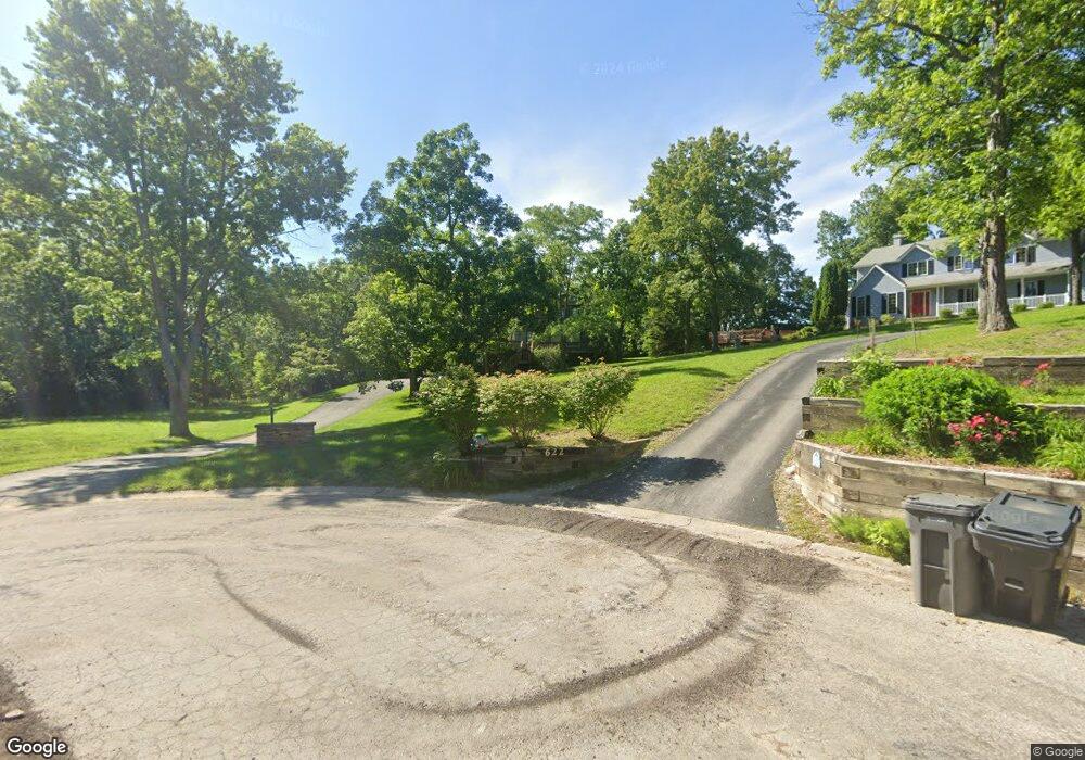
632 Woodland Ct Mount Zion, IL 62549
Estimated Value: $235,000 - $290,000
3
Beds
4
Baths
2,866
Sq Ft
$92/Sq Ft
Est. Value
About This Home
This home is located at 632 Woodland Ct, Mount Zion, IL 62549 and is currently estimated at $263,977, approximately $92 per square foot. 632 Woodland Ct is a home located in Macon County with nearby schools including McGaughey Elementary School, Mt. Zion Elementary School, and Mt. Zion Intermediate School.
Ownership History
Date
Name
Owned For
Owner Type
Purchase Details
Closed on
Feb 3, 2011
Sold by
Whitaker David H and Whitaker Rosemarie
Bought by
Schwartz Richard A and Schwartz Anita L
Current Estimated Value
Purchase Details
Closed on
Feb 14, 2006
Sold by
Barber Donn W and Barber Susan R
Bought by
Whitaker David H and Whitaker Rosemarie
Purchase Details
Closed on
Aug 1, 1984
Create a Home Valuation Report for This Property
The Home Valuation Report is an in-depth analysis detailing your home's value as well as a comparison with similar homes in the area
Home Values in the Area
Average Home Value in this Area
Purchase History
| Date | Buyer | Sale Price | Title Company |
|---|---|---|---|
| Schwartz Richard A | $260,000 | Decatur Title Company Llc | |
| Whitaker David H | $230,000 | None Available | |
| -- | $105,000 | -- |
Source: Public Records
Tax History Compared to Growth
Tax History
| Year | Tax Paid | Tax Assessment Tax Assessment Total Assessment is a certain percentage of the fair market value that is determined by local assessors to be the total taxable value of land and additions on the property. | Land | Improvement |
|---|---|---|---|---|
| 2024 | $5,450 | $80,820 | $12,100 | $68,720 |
| 2023 | $5,240 | $75,168 | $11,254 | $63,914 |
| 2022 | $4,990 | $71,296 | $10,674 | $60,622 |
| 2021 | $4,813 | $66,793 | $10,000 | $56,793 |
| 2020 | $4,020 | $58,151 | $11,210 | $46,941 |
| 2019 | $4,020 | $58,151 | $11,210 | $46,941 |
| 2018 | $4,982 | $64,574 | $11,138 | $53,436 |
| 2017 | $4,915 | $63,333 | $10,924 | $52,409 |
| 2016 | $6,909 | $85,837 | $10,734 | $75,103 |
| 2015 | $6,683 | $84,987 | $10,628 | $74,359 |
| 2014 | $6,443 | $84,987 | $10,628 | $74,359 |
| 2013 | $6,518 | $84,987 | $10,628 | $74,359 |
Source: Public Records
Map
Nearby Homes
- 125 W Walnut St
- 570 Fawn Ct
- 524 Elm St
- 265 Carrington Ave
- 695 Country Ct
- 1625 Ridgewood Ct
- 1030 Country Manor
- 1700 Brentwood Dr
- 1440 N Alexander Dr
- 1610 Robin Ct
- 860 W Wildwood Dr
- 355 S Henderson St
- 3930 S Mount Zion Rd
- 9 Blakeridge Place
- 50 Sundance Dr
- 5909 Camp Warren Rd
- 1420 Noble Dr
- 2125 Buckhead Ave
- 2110 Buckhead Ln
- 1935 Buckhead Ct