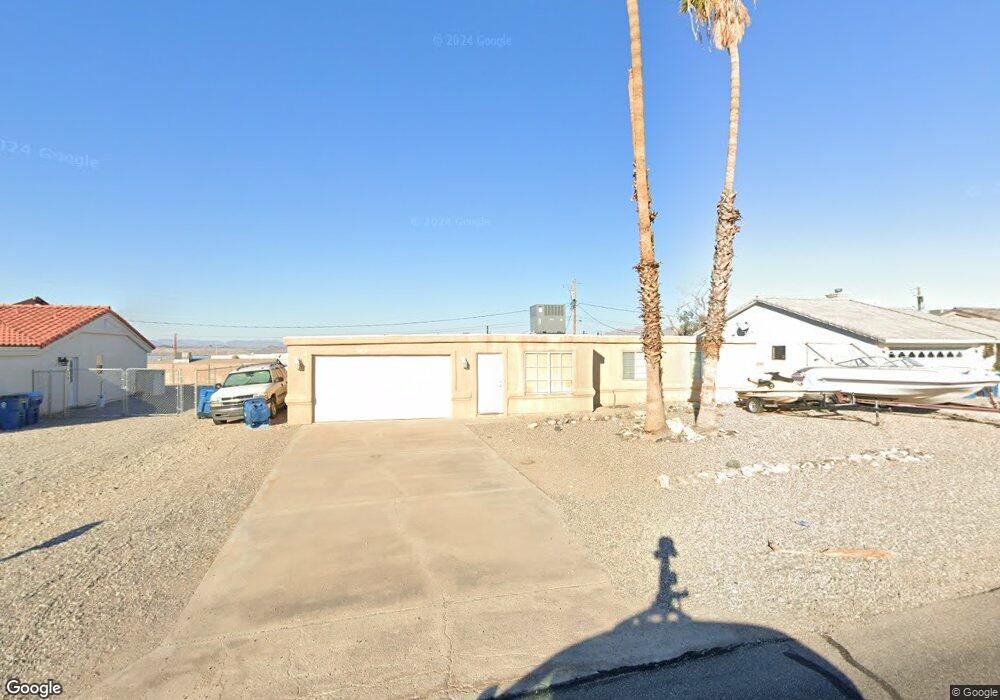
633 Riverboat Dr Lake Havasu City, AZ 86403
Estimated Value: $302,539 - $394,000
--
Bed
2
Baths
1,234
Sq Ft
$289/Sq Ft
Est. Value
About This Home
This home is located at 633 Riverboat Dr, Lake Havasu City, AZ 86403 and is currently estimated at $356,635, approximately $289 per square foot. 633 Riverboat Dr is a home located in Mohave County with nearby schools including Smoketree Elementary School, Thunderbolt Middle School, and Lake Havasu High School.
Ownership History
Date
Name
Owned For
Owner Type
Purchase Details
Closed on
Apr 17, 2007
Sold by
Speed Rodney and Speed Rhonda
Bought by
633 Riverboat Drive Llc
Current Estimated Value
Purchase Details
Closed on
Mar 20, 2002
Sold by
Hatfield Peggy and List Sandra
Bought by
Speed Rodney and Speed Rhonda
Home Financials for this Owner
Home Financials are based on the most recent Mortgage that was taken out on this home.
Original Mortgage
$60,000
Interest Rate
8.55%
Create a Home Valuation Report for This Property
The Home Valuation Report is an in-depth analysis detailing your home's value as well as a comparison with similar homes in the area
Home Values in the Area
Average Home Value in this Area
Purchase History
| Date | Buyer | Sale Price | Title Company |
|---|---|---|---|
| 633 Riverboat Drive Llc | -- | First American Title Ins Co | |
| Speed Rodney | $75,000 | State Title Agency Inc |
Source: Public Records
Mortgage History
| Date | Status | Borrower | Loan Amount |
|---|---|---|---|
| Previous Owner | Speed Rodney | $60,000 |
Source: Public Records
Tax History Compared to Growth
Tax History
| Year | Tax Paid | Tax Assessment Tax Assessment Total Assessment is a certain percentage of the fair market value that is determined by local assessors to be the total taxable value of land and additions on the property. | Land | Improvement |
|---|---|---|---|---|
| 2026 | $1,141 | -- | -- | -- |
| 2025 | $1,156 | $26,967 | $0 | $0 |
| 2024 | $1,156 | $29,161 | $0 | $0 |
| 2023 | $1,156 | $24,360 | $0 | $0 |
| 2022 | $1,107 | $17,669 | $0 | $0 |
| 2021 | $1,266 | $16,301 | $0 | $0 |
| 2019 | $1,205 | $12,764 | $0 | $0 |
| 2018 | $1,166 | $12,148 | $0 | $0 |
| 2017 | $1,155 | $11,210 | $0 | $0 |
| 2016 | $1,050 | $10,389 | $0 | $0 |
| 2015 | $1,008 | $9,540 | $0 | $0 |
Source: Public Records
Map
Nearby Homes
- 1986 Bahama Ave
- 1960 Pirate Ln
- 2021 Industrial
- 640 Acoma Blvd N
- 2200 Clarke Dr
- 583 Robin Ln
- 2100 Chaparral Dr
- 2301 Sahara Dr
- 1790 Rainbow Ave S
- 532 Acoma Blvd N
- 2090 San Juan Dr
- 675 Knobhill Ln
- 1796 Bahama Ave Unit C
- 2030 Commander Dr
- 1795 Bimini Ln Unit B4
- 320 Chipeta Ln
- 2311 Rainbow Ave N
- 1911 Holly Ave
- 1901 Holly Ave
- 1541 Holly Ave
- 639 Riverboat Dr
- 627 Riverboat Dr
- 603 Riverboat Dr
- 597 Riverboat Dr
- 609 Riverboat Dr
- 645 Riverboat
- 621 Riverboat Dr
- 638 Riverboat Dr
- 591 Riverboat Dr
- 642 Riverboat Dr
- 634 Riverboat Dr
- 615 Riverboat Dr
- 646 Riverboat Dr
- 630 Riverboat Dr
- 651 Riverboat Dr
- 585 Riverboat Dr Unit 102
- 585 Riverboat Dr
- 585 Riverboat Dr Unit 101
- 594 Riverboat Dr
- 2100 Industrial Blvd