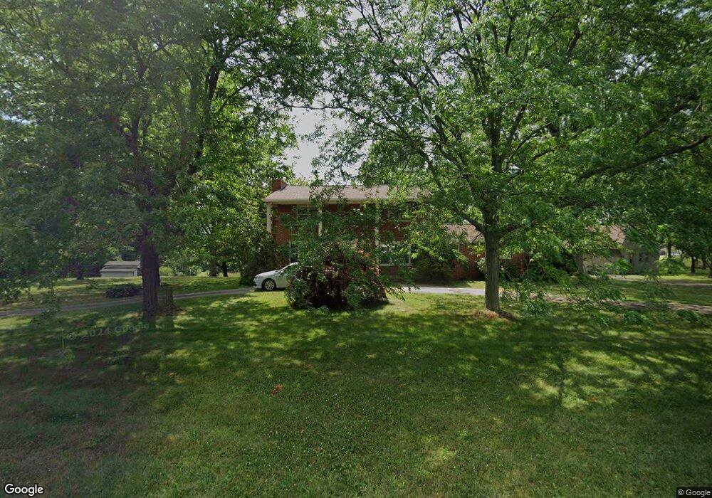
6337 Joliat Ave Louisville, OH 44641
Estimated Value: $183,000 - $284,000
4
Beds
2
Baths
1,944
Sq Ft
$128/Sq Ft
Est. Value
About This Home
This home is located at 6337 Joliat Ave, Louisville, OH 44641 and is currently estimated at $249,286, approximately $128 per square foot. 6337 Joliat Ave is a home located in Stark County with nearby schools including Louisville High School.
Ownership History
Date
Name
Owned For
Owner Type
Purchase Details
Closed on
Sep 22, 2020
Sold by
Lozier Benjamin F and Lozier Elaine
Bought by
Lozier Michael B and Lozier Benjamin F
Current Estimated Value
Purchase Details
Closed on
Dec 22, 2014
Sold by
Vanorsdale Patricia A
Bought by
Weisel Susan I and Patricia A Van Orsdale Irrevocable Trust
Purchase Details
Closed on
Apr 17, 2008
Sold by
Vanorsdale Patricia A
Bought by
Vanorsdale Patricia A
Purchase Details
Closed on
Oct 17, 2000
Sold by
Lozier Benjamin F and Lozier Elaine
Bought by
Lozier Benjamin F and Lozier Elaine
Create a Home Valuation Report for This Property
The Home Valuation Report is an in-depth analysis detailing your home's value as well as a comparison with similar homes in the area
Home Values in the Area
Average Home Value in this Area
Purchase History
| Date | Buyer | Sale Price | Title Company |
|---|---|---|---|
| Lozier Michael B | -- | None Available | |
| Weisel Susan I | $84,100 | None Available | |
| Vanorsdale Patricia A | -- | Attorney | |
| Vanorsdale Patricia A | -- | Attorney | |
| Lozier Benjamin F | -- | -- |
Source: Public Records
Tax History Compared to Growth
Tax History
| Year | Tax Paid | Tax Assessment Tax Assessment Total Assessment is a certain percentage of the fair market value that is determined by local assessors to be the total taxable value of land and additions on the property. | Land | Improvement |
|---|---|---|---|---|
| 2025 | -- | $64,960 | $22,960 | $42,000 |
| 2024 | -- | $64,960 | $22,960 | $42,000 |
| 2023 | $2,356 | $57,370 | $20,090 | $37,280 |
| 2022 | $2,383 | $57,370 | $20,090 | $37,280 |
| 2021 | $2,390 | $57,370 | $20,090 | $37,280 |
| 2020 | $2,008 | $51,880 | $18,100 | $33,780 |
| 2019 | $2,017 | $51,880 | $18,100 | $33,780 |
| 2018 | $2,011 | $51,880 | $18,100 | $33,780 |
| 2017 | $1,938 | $48,410 | $16,940 | $31,470 |
| 2016 | $1,740 | $45,190 | $14,560 | $30,630 |
| 2015 | $1,744 | $45,190 | $14,560 | $30,630 |
| 2014 | $1,590 | $39,460 | $12,710 | $26,750 |
| 2013 | $798 | $39,460 | $12,710 | $26,750 |
Source: Public Records
Map
Nearby Homes
- 6052 N Nickelplate St
- 5765 Maplegrove St
- 5495 Meese Rd NE
- 2015 E Main St
- 203 Brookfield St
- 910 Crosswyck Cir
- 1170 Winding Ridge Ave
- 316 E Reno Dr
- 5474 Ravenna Ave
- 0 Michigan Blvd
- 7844 Morningstar Dr
- 1812 E Broad St
- 428 Honeycrisp Dr NE
- 3047 Mcintosh Dr NE
- 432 Honeycrisp Dr NE
- 2962 Mcintosh Dr NE
- 2963 Mcintosh Dr NE
- 430 Honeycrisp Dr NE
- 2957 Mcintosh Dr NE
- 1715 High St
- 6337 Joliat Ave
- 6291 Joliat Ave
- 6271 Joliat Ave
- 6251 Joliat Ave
- 6308 Joliat Ave
- 6225 Joliat Ave
- 6250 Joliat Ave
- 6201 Joliat Ave
- 6415 Joliat Ave
- 6167 Joliat Ave
- 6140 Schloneger Dr
- 6135 Joliat Ave
- 6441 Joliat Ave
- 6461 Joliat Ave
- 6114 Joliat Ave
- 6136 Schloneger Dr
- 6105 Joliat Ave
- 6093 Joliat Ave
- 6152 Schloneger Dr
- 6148 Schloneger Dr