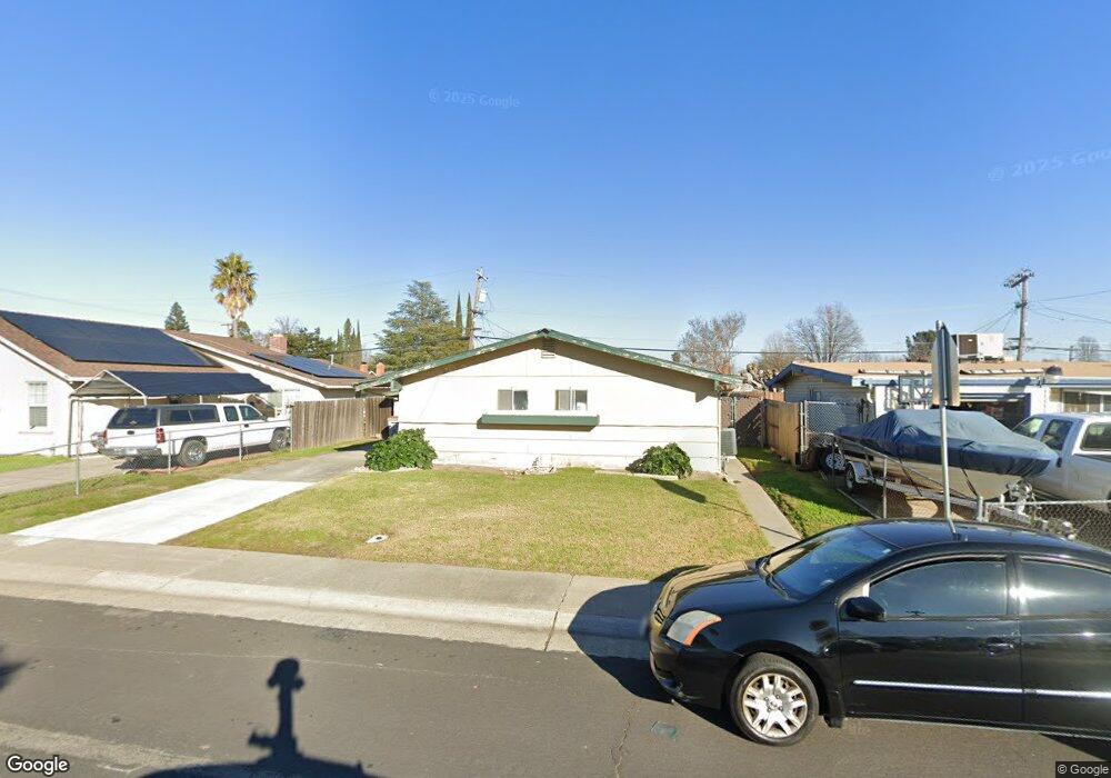
637 Fourness Dr West Sacramento, CA 95605
Broderick-Bryte NeighborhoodEstimated Value: $366,000 - $421,000
3
Beds
2
Baths
1,350
Sq Ft
$295/Sq Ft
Est. Value
About This Home
This home is located at 637 Fourness Dr, West Sacramento, CA 95605 and is currently estimated at $398,659, approximately $295 per square foot. 637 Fourness Dr is a home located in Yolo County with nearby schools including Riverbank Elementary School, River City High, and River Charter Schools Lighthouse Charter.
Ownership History
Date
Name
Owned For
Owner Type
Purchase Details
Closed on
Jun 24, 2024
Sold by
Smith Tanya R
Bought by
Smith Yvette J
Current Estimated Value
Purchase Details
Closed on
Sep 2, 2005
Sold by
Smith Ora L and Smith Tanya
Bought by
Smith Tanya
Home Financials for this Owner
Home Financials are based on the most recent Mortgage that was taken out on this home.
Original Mortgage
$200,000
Interest Rate
5.7%
Mortgage Type
Stand Alone Refi Refinance Of Original Loan
Create a Home Valuation Report for This Property
The Home Valuation Report is an in-depth analysis detailing your home's value as well as a comparison with similar homes in the area
Home Values in the Area
Average Home Value in this Area
Purchase History
| Date | Buyer | Sale Price | Title Company |
|---|---|---|---|
| Smith Yvette J | -- | None Listed On Document | |
| Smith Tanya | -- | Chicago Title Company |
Source: Public Records
Mortgage History
| Date | Status | Borrower | Loan Amount |
|---|---|---|---|
| Previous Owner | Smith Tanya | $200,000 |
Source: Public Records
Tax History Compared to Growth
Tax History
| Year | Tax Paid | Tax Assessment Tax Assessment Total Assessment is a certain percentage of the fair market value that is determined by local assessors to be the total taxable value of land and additions on the property. | Land | Improvement |
|---|---|---|---|---|
| 2025 | $526 | $201,537 | $53,653 | $147,884 |
| 2023 | $526 | $41,403 | $7,023 | $34,380 |
| 2022 | $499 | $40,592 | $6,886 | $33,706 |
| 2021 | $492 | $39,797 | $6,751 | $33,046 |
| 2020 | $468 | $39,390 | $6,682 | $32,708 |
| 2019 | $448 | $38,618 | $6,551 | $32,067 |
| 2018 | $438 | $37,862 | $6,423 | $31,439 |
| 2017 | $432 | $37,121 | $6,298 | $30,823 |
| 2016 | $424 | $36,394 | $6,175 | $30,219 |
| 2015 | $572 | $35,849 | $6,083 | $29,766 |
| 2014 | $572 | $35,147 | $5,964 | $29,183 |
Source: Public Records
Map
Nearby Homes
- 409 Star City St
- 637 Myrtle Ave
- 1025 Carrie St
- 724 Julian Dr
- 808 Kegle Dr
- 1020 Fremont Blvd
- 1008 Rogers St
- 923 Cummins Way
- 1011 Waterford Dr
- 1399 Sacramento Ave Unit 44
- 1399 Sacramento Ave
- 1399 Sacramento Ave Unit 21
- 1399 Sacramento Ave Unit 110
- 620 Smilax Ave
- 3901 Westlake Dr Unit 123
- 1529 Hobson Ave
- 904 Yolo St
- 1395 Riverbank Rd
- 1617 Lisbon Ave
- 820 Wedge Wood Ct
- 633 Fourness Dr
- 641 Fourness Dr
- 606 Arthur Dr
- 645 Fourness Dr
- 610 Arthur Dr
- 602 Arthur Dr
- 629 Fourness Dr
- 1202 Sullivan Ct
- 614 Arthur Dr
- 600 Arthur Dr
- 701 Fourness Dr
- 1201 Anna St
- 618 Arthur Dr
- 1201 Sullivan Ct
- 1206 Sullivan Ct
- 705 Fourness Dr
- 622 Arthur Dr
- 1205 Anna St
- 1205 Sullivan Ct
- 609 Arthur Dr