637 Rock Creek Cir Blue Ridge, GA 30513
Estimated Value: $126,000 - $352,000
--
Bed
1
Bath
875
Sq Ft
$249/Sq Ft
Est. Value
About This Home
This home is located at 637 Rock Creek Cir, Blue Ridge, GA 30513 and is currently estimated at $218,034, approximately $249 per square foot. 637 Rock Creek Cir is a home with nearby schools including Fannin County High School.
Ownership History
Date
Name
Owned For
Owner Type
Purchase Details
Closed on
Jan 3, 2017
Sold by
Lois Mary
Bought by
Cain Marissa Allyson
Current Estimated Value
Purchase Details
Closed on
Jan 23, 2014
Sold by
Harper Mary Lois
Bought by
Harper Mary Lois As Trustee Of The Mary
Purchase Details
Closed on
Jul 1, 1997
Sold by
Weeks Weeks M and Weeks Otis
Bought by
Harper Mary Lois
Purchase Details
Closed on
Nov 13, 1990
Bought by
Adams Leroy and Adams Joan
Create a Home Valuation Report for This Property
The Home Valuation Report is an in-depth analysis detailing your home's value as well as a comparison with similar homes in the area
Home Values in the Area
Average Home Value in this Area
Purchase History
| Date | Buyer | Sale Price | Title Company |
|---|---|---|---|
| Cain Marissa Allyson | $55,354 | -- | |
| Harper Mary Lois As Trustee Of The Mary | -- | -- | |
| Harper Mary Lois | -- | -- | |
| Adams Leroy | $21,000 | -- |
Source: Public Records
Tax History Compared to Growth
Tax History
| Year | Tax Paid | Tax Assessment Tax Assessment Total Assessment is a certain percentage of the fair market value that is determined by local assessors to be the total taxable value of land and additions on the property. | Land | Improvement |
|---|---|---|---|---|
| 2024 | $663 | $72,382 | $20,085 | $52,297 |
| 2023 | $597 | $58,556 | $17,613 | $40,942 |
| 2022 | $660 | $64,704 | $17,613 | $47,091 |
| 2021 | $549 | $39,162 | $16,810 | $22,352 |
| 2020 | $558 | $39,162 | $16,810 | $22,352 |
| 2019 | $429 | $29,495 | $16,810 | $12,685 |
| 2018 | $471 | $30,576 | $17,891 | $12,685 |
| 2017 | $539 | $30,453 | $17,768 | $12,685 |
| 2016 | $376 | $22,142 | $12,206 | $9,936 |
| 2015 | $393 | $22,142 | $12,206 | $9,936 |
| 2014 | $426 | $16,440 | $4,680 | $11,760 |
| 2013 | -- | $12,497 | $4,680 | $7,817 |
Source: Public Records
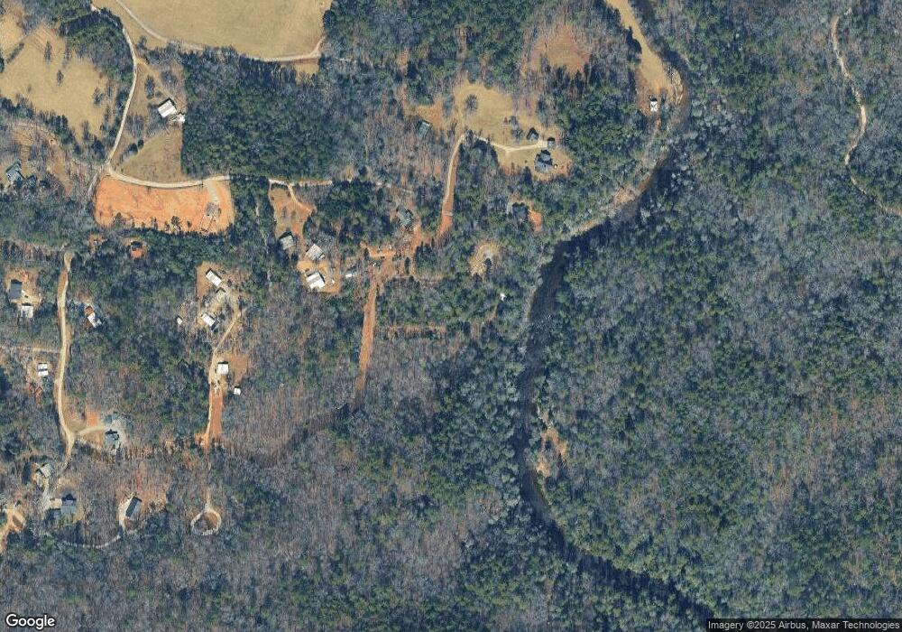
Map
Nearby Homes
- 0 Old Rock Creek Rd Unit 7619593
- 0 Old Rock Creek Rd Unit 10569014
- 47 Downy Rd
- 292 Silver Fox Trail
- 61 Amelia Ln
- 3006 Doublehead Gap Rd
- 32 Grice Woods Rd
- 307 Pigeon Creek Rd
- 721 Dial Rd
- 487 White Pine Trail
- 156 Peter Knob Rd
- Lot 61 White Pine Trail
- 33 Spruce Dr
- 130 Rivers End Trail
- 312 White Pine Trail
- 24376 Morganton Hwy
- 24444 Morganton Hwy
- 142 Chase Hollow Ln
- Lt 56,57 Hemlock Dr
- 213 Valley Branch
- 568 Rock Creek Cir
- 689 Rock Creek Cir
- 721 Rock Creek Cir
- 720 Rock Creek Cir
- 0 Rock Creek Cir Unit 320900
- 0 Rock Creek Cir Unit 315670
- 0 Rock Creek Cir Unit 125,126,127 8468259
- 0 Rock Creek Cir Unit 125,126,127 8729457
- 601 Rock Creek Cir
- 815 Rock Creek Cir
- 752 Rock Creek Cir
- 800 Rock Creek Cir
- 611 Rock Creek Cir Unit Lot 128
- 611 Rock Creek Cir
- 611 Rock Creek Cir
- 820 Rock Creek Cir
- 620 Rock Creek Cir
- 611 Old Rock Creek Rd
- 611 Old Rock Creek Rd
- 465 Old Rock Creek Rd