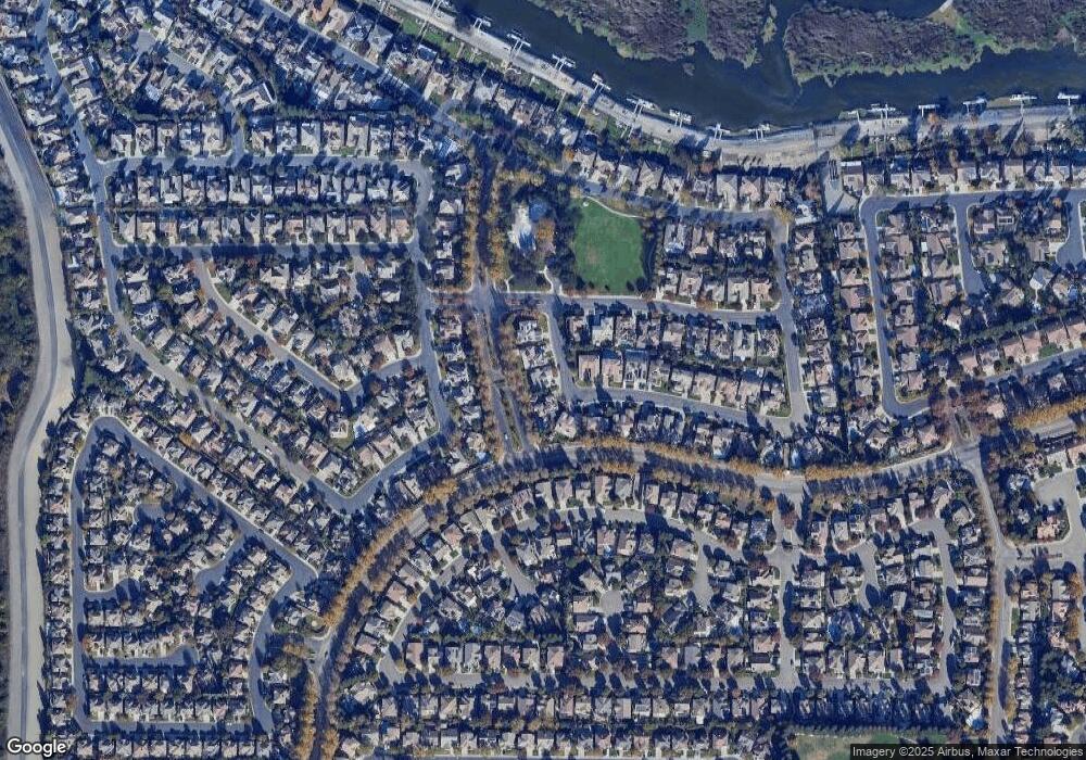
6377 Riverbank Cir Stockton, CA 95219
Brookside NeighborhoodEstimated Value: $691,373 - $734,000
5
Beds
4
Baths
3,027
Sq Ft
$235/Sq Ft
Est. Value
About This Home
This home is located at 6377 Riverbank Cir, Stockton, CA 95219 and is currently estimated at $710,593, approximately $234 per square foot. 6377 Riverbank Cir is a home located in San Joaquin County with nearby schools including Brookside, Sierra Middle School, and Lincoln High School.
Ownership History
Date
Name
Owned For
Owner Type
Purchase Details
Closed on
Apr 24, 2008
Sold by
Dai Jimmy V and Thai Dai Thanh Diep
Bought by
Dai Jimmy V and Thai Dai Thanh Diep
Current Estimated Value
Purchase Details
Closed on
Apr 8, 2002
Sold by
Brookside Pointe Investors Llc
Bought by
Dai Jimmy V and Dai Thanh D
Home Financials for this Owner
Home Financials are based on the most recent Mortgage that was taken out on this home.
Original Mortgage
$170,000
Interest Rate
6.78%
Create a Home Valuation Report for This Property
The Home Valuation Report is an in-depth analysis detailing your home's value as well as a comparison with similar homes in the area
Home Values in the Area
Average Home Value in this Area
Purchase History
| Date | Buyer | Sale Price | Title Company |
|---|---|---|---|
| Dai Jimmy V | -- | None Available | |
| Dai Jimmy V | $325,000 | Chicago Title Co |
Source: Public Records
Mortgage History
| Date | Status | Borrower | Loan Amount |
|---|---|---|---|
| Closed | Dai Jimmy V | $170,000 |
Source: Public Records
Tax History Compared to Growth
Tax History
| Year | Tax Paid | Tax Assessment Tax Assessment Total Assessment is a certain percentage of the fair market value that is determined by local assessors to be the total taxable value of land and additions on the property. | Land | Improvement |
|---|---|---|---|---|
| 2025 | $5,742 | $479,562 | $103,401 | $376,161 |
| 2024 | $5,616 | $470,160 | $101,374 | $368,786 |
| 2023 | $5,567 | $460,942 | $99,387 | $361,555 |
| 2022 | $5,246 | $451,905 | $97,439 | $354,466 |
| 2021 | $5,171 | $443,045 | $95,529 | $347,516 |
| 2020 | $5,180 | $438,503 | $94,550 | $343,953 |
| 2019 | $5,093 | $429,906 | $92,697 | $337,209 |
| 2018 | $5,008 | $421,478 | $90,880 | $330,598 |
| 2017 | $4,908 | $413,215 | $89,099 | $324,116 |
| 2016 | $4,853 | $405,115 | $87,352 | $317,763 |
| 2014 | $4,727 | $391,218 | $84,356 | $306,862 |
Source: Public Records
Map
Nearby Homes
- 5939 Riverbank Cir
- 6243 Riverbank Cir
- 6219 Riverbank Cir
- 6337 Brook Hollow Cir
- 4325 Heritage Place
- 3864 Fourteen Mile Dr
- 6213 Embarcadero Dr
- 6503 Pine Meadow Cir
- 6486 Pine Meadow Cir
- 4322 Riverbank Ct
- 6541 Brook Hollow Cir
- 6439 Brook Hollow Cir
- 6472 Brook Hollow Cir
- 4135 Riverbrook Ct
- 3604 Fourteen Mile Dr
- 3635 Hidden Brook Dr
- 6123 Cumberland Place
- 3634 Whispering Creek Cir
- 3669 Whispering Creek Cir
- 5833 Morgan Place Unit 60
- 6387 Riverbank Cir
- 6371 Riverbank Cir
- 6360 Riverbank Cir
- 6395 Riverbank Cir
- 6363 Riverbank Cir
- 3942 Riverboat Dr
- 6355 Riverbank Cir
- 5819 Riverbank Cir
- 6352 Riverbank Cir
- 5825 Riverbank Cir
- 5813 Riverbank Cir
- 3930 Riverboat Dr
- 5807 Riverbank Cir
- 5831 Riverbank Cir
- 6347 Riverbank Cir
- 6344 Riverbank Cir
- 5801 Riverbank Cir
- 3918 Riverboat Dr
- 6264 Pine Meadow Cir
- 6266 Pine Meadow Cir
