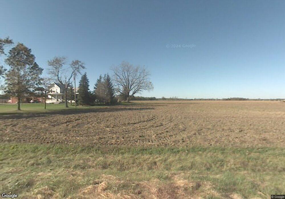
6386 Darby Rd Monroe, MI 48161
Estimated Value: $217,000 - $354,759
3
Beds
1
Bath
1,728
Sq Ft
$182/Sq Ft
Est. Value
About This Home
This home is located at 6386 Darby Rd, Monroe, MI 48161 and is currently estimated at $314,440, approximately $181 per square foot. 6386 Darby Rd is a home located in Monroe County with nearby schools including Ida Elementary School, Ida Middle School, and Ida High School.
Ownership History
Date
Name
Owned For
Owner Type
Purchase Details
Closed on
Sep 15, 2017
Sold by
Bazick Jeffrey G
Bought by
Bazick Trust
Current Estimated Value
Purchase Details
Closed on
Mar 18, 2014
Sold by
Knapp James E and Knapp Ann E
Bought by
Bazick Jeffrey G
Home Financials for this Owner
Home Financials are based on the most recent Mortgage that was taken out on this home.
Original Mortgage
$265,000
Interest Rate
4.34%
Mortgage Type
Future Advance Clause Open End Mortgage
Purchase Details
Closed on
May 19, 1996
Sold by
Mcclure Neil J
Bought by
Knapp James E and Knapp Ann
Home Financials for this Owner
Home Financials are based on the most recent Mortgage that was taken out on this home.
Original Mortgage
$120,000
Interest Rate
8.13%
Mortgage Type
New Conventional
Create a Home Valuation Report for This Property
The Home Valuation Report is an in-depth analysis detailing your home's value as well as a comparison with similar homes in the area
Home Values in the Area
Average Home Value in this Area
Purchase History
| Date | Buyer | Sale Price | Title Company |
|---|---|---|---|
| Bazick Trust | -- | -- | |
| Bazick Jeffrey G | $210,000 | Hassett Title | |
| Knapp James E | $160,000 | -- |
Source: Public Records
Mortgage History
| Date | Status | Borrower | Loan Amount |
|---|---|---|---|
| Previous Owner | Bazick Jeffrey G | $265,000 | |
| Previous Owner | Knapp James E | $120,000 |
Source: Public Records
Tax History Compared to Growth
Tax History
| Year | Tax Paid | Tax Assessment Tax Assessment Total Assessment is a certain percentage of the fair market value that is determined by local assessors to be the total taxable value of land and additions on the property. | Land | Improvement |
|---|---|---|---|---|
| 2025 | $2,954 | $151,500 | $45,850 | $105,650 |
| 2024 | $1,162 | $133,400 | $0 | $0 |
| 2023 | $1,107 | $116,100 | $0 | $0 |
| 2022 | $1,054 | $116,100 | $0 | $0 |
| 2021 | $2,086 | $119,200 | $0 | $0 |
| 2020 | $2,056 | $106,500 | $0 | $0 |
| 2019 | $2,035 | $106,500 | $0 | $0 |
| 2018 | $1,979 | $95,300 | $0 | $0 |
| 2017 | $1,940 | $92,300 | $0 | $0 |
| 2016 | $1,918 | $92,300 | $0 | $0 |
| 2015 | $1,839 | $0 | $0 | $0 |
| 2014 | $1,599 | $0 | $0 | $0 |
| 2013 | -- | $73,550 | $0 | $0 |
Source: Public Records
Map
Nearby Homes
- 0 W Albain Rd Unit 25035461
- 2231 Geiger Rd
- 00-40 Strasburg Rd
- 00-50 Strasburg Rd
- 00-70 Strasburg Rd
- 00-60 Strasburg Rd
- 00-80 Strasburg Rd
- 1052 S Otter Creek Rd
- 3204 Southwood St
- 5100 Lewis Ave
- 1090 Lewis Ave
- 6349 Dixon Rd
- 4555 S Custer Rd
- 0 S Custer Rd Unit 50156146
- 0 S Custer Rd Unit 50185614
- 5770 Lewis Ave
- 3274 W Albain Rd
- 945 Tanners Landing
- 983 Tanners Landing
- 3298 W Albain Rd
- 6305 Darby Rd
- 6305 Darby Rd
- 6305 Darby Rd
- 2820 Martell Rd
- 2833 Martell Rd
- 3570 Martell Rd
- 6558 Darby Rd
- 3500 Martell Rd
- 3599 Martell Rd
- 3599 Martell Rd
- 6660 Darby Rd
- 3662 Martell Rd
- 3647 Martell Rd
- 6240 W Albain Rd
- 6240 W Albain Rd
- 6160 W Albain Rd
- 3760 Martell Rd
- 13843 W Albain Rd
- 6330 W Albain Rd
- 0 W Albain Rd Unit 218007986