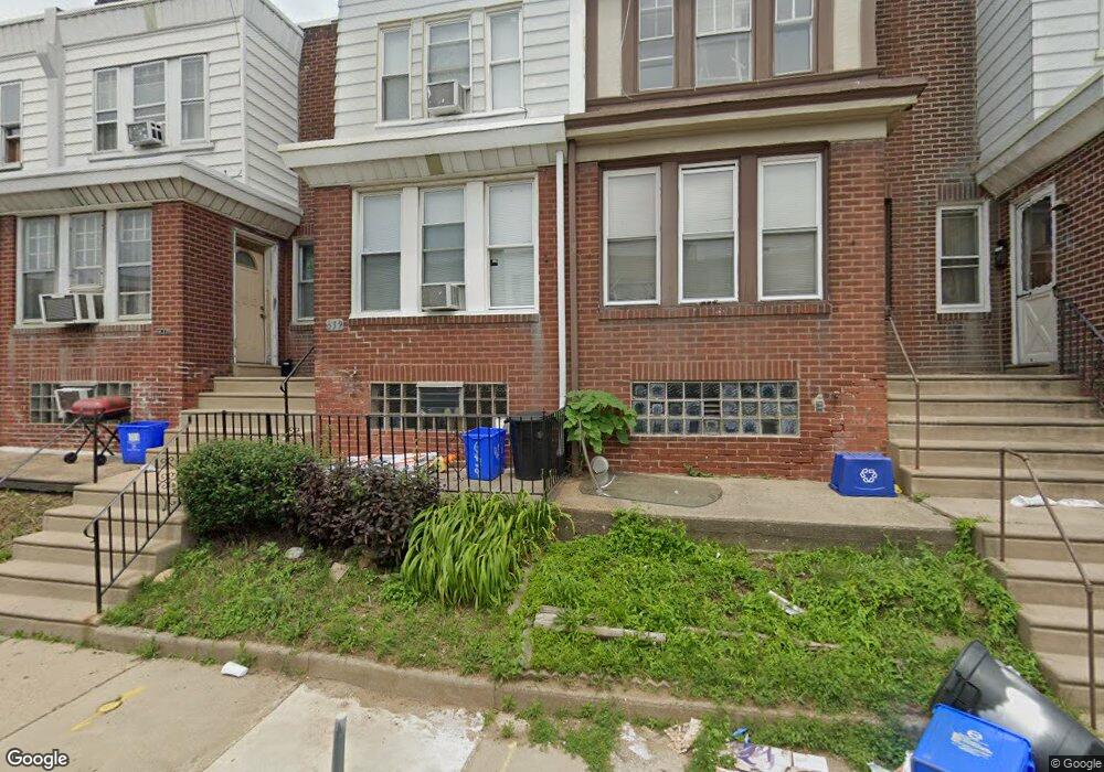
639 Brill St Philadelphia, PA 19120
Lawncrest NeighborhoodEstimated Value: $173,000 - $188,000
3
Beds
1
Bath
1,032
Sq Ft
$176/Sq Ft
Est. Value
About This Home
This home is located at 639 Brill St, Philadelphia, PA 19120 and is currently estimated at $181,824, approximately $176 per square foot. 639 Brill St is a home located in Philadelphia County with nearby schools including Benjamin Franklin Elementary School, Samuel Fels High School, and University Creighton Charter School.
Ownership History
Date
Name
Owned For
Owner Type
Purchase Details
Closed on
Jun 30, 2017
Sold by
Parker Anthony and Porterfield Parker Patricia
Bought by
Corestates Group Llc
Current Estimated Value
Purchase Details
Closed on
Jun 29, 2006
Sold by
Guyton Yulvonda
Bought by
Porterfield Parker Patricia and Parker Anthony
Home Financials for this Owner
Home Financials are based on the most recent Mortgage that was taken out on this home.
Original Mortgage
$94,242
Interest Rate
6.58%
Mortgage Type
FHA
Create a Home Valuation Report for This Property
The Home Valuation Report is an in-depth analysis detailing your home's value as well as a comparison with similar homes in the area
Home Values in the Area
Average Home Value in this Area
Purchase History
| Date | Buyer | Sale Price | Title Company |
|---|---|---|---|
| Corestates Group Llc | $55,500 | None Available | |
| Porterfield Parker Patricia | $95,000 | None Available |
Source: Public Records
Mortgage History
| Date | Status | Borrower | Loan Amount |
|---|---|---|---|
| Previous Owner | Porterfield Parker Patricia | $94,242 |
Source: Public Records
Tax History Compared to Growth
Tax History
| Year | Tax Paid | Tax Assessment Tax Assessment Total Assessment is a certain percentage of the fair market value that is determined by local assessors to be the total taxable value of land and additions on the property. | Land | Improvement |
|---|---|---|---|---|
| 2025 | $1,963 | $180,000 | $36,000 | $144,000 |
| 2024 | $1,963 | $180,000 | $36,000 | $144,000 |
| 2023 | $1,963 | $140,200 | $28,040 | $112,160 |
| 2022 | $1,963 | $140,200 | $28,040 | $112,160 |
| 2021 | $1,162 | $0 | $0 | $0 |
| 2020 | $1,162 | $0 | $0 | $0 |
| 2019 | $1,116 | $0 | $0 | $0 |
| 2018 | $1,127 | $0 | $0 | $0 |
| 2017 | $1,127 | $0 | $0 | $0 |
| 2016 | $707 | $0 | $0 | $0 |
| 2015 | $677 | $0 | $0 | $0 |
| 2014 | -- | $80,500 | $10,800 | $69,700 |
| 2012 | -- | $10,304 | $817 | $9,487 |
Source: Public Records
Map
Nearby Homes
- 619 Brill St
- 615 Brill St
- 569 E Sanger St
- 644 E Cheltenham Ave
- 588 E Godfrey Ave
- 554 E Carver St
- 5724 Colgate St
- 539 E Godfrey Ave
- 604 Alcott St
- 561 E Cheltenham Ave
- 578 Rosalie St Unit A
- 508 E Godfrey Ave
- 517 E Cheltenham Ave
- 5915 Palmetto St
- 5920 Lawndale St
- 5922 Elsinore St
- 504 E Godfrey Ave
- 5934 Palmetto St
- 5945 Palmetto St
- 5939 Malta St