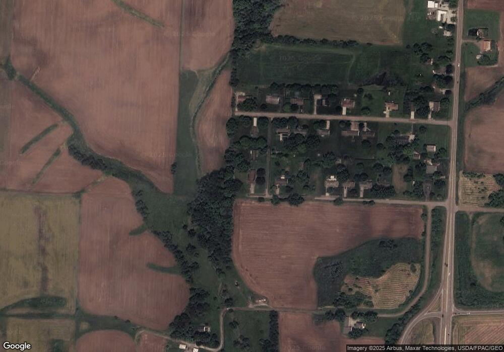
6395 Hooverridge St Louisville, OH 44641
Estimated Value: $192,000 - $250,000
3
Beds
3
Baths
1,764
Sq Ft
$125/Sq Ft
Est. Value
About This Home
This home is located at 6395 Hooverridge St, Louisville, OH 44641 and is currently estimated at $221,075, approximately $125 per square foot. 6395 Hooverridge St is a home located in Stark County with nearby schools including Louisville High School and St. Thomas Aquinas High School & Middle School.
Ownership History
Date
Name
Owned For
Owner Type
Purchase Details
Closed on
Mar 20, 2013
Sold by
Metzer Gregory P
Bought by
Dostal Denny
Current Estimated Value
Purchase Details
Closed on
Feb 2, 2012
Sold by
Metzer Gregory P and Metzger Vivian C
Bought by
Metzger Vivian C and The Vivian C Metzger Revocable Living Tr
Purchase Details
Closed on
Apr 2, 2002
Sold by
Estate Of Paul M Metzger
Bought by
Metzger Vivian C
Purchase Details
Closed on
Feb 10, 2000
Sold by
Metzger Vivian C
Bought by
Metzger Paul M
Create a Home Valuation Report for This Property
The Home Valuation Report is an in-depth analysis detailing your home's value as well as a comparison with similar homes in the area
Home Values in the Area
Average Home Value in this Area
Purchase History
| Date | Buyer | Sale Price | Title Company |
|---|---|---|---|
| Dostal Denny | $95,000 | None Available | |
| Metzger Vivian C | -- | Attorney | |
| Metzger Vivian C | -- | -- | |
| Metzger Paul M | -- | -- |
Source: Public Records
Tax History Compared to Growth
Tax History
| Year | Tax Paid | Tax Assessment Tax Assessment Total Assessment is a certain percentage of the fair market value that is determined by local assessors to be the total taxable value of land and additions on the property. | Land | Improvement |
|---|---|---|---|---|
| 2025 | -- | $65,940 | $23,240 | $42,700 |
| 2024 | -- | $65,940 | $23,240 | $42,700 |
| 2023 | $2,274 | $55,940 | $19,360 | $36,580 |
| 2022 | $2,300 | $55,940 | $19,360 | $36,580 |
| 2021 | $2,300 | $55,940 | $19,360 | $36,580 |
| 2020 | $1,903 | $49,880 | $17,430 | $32,450 |
| 2019 | $1,911 | $49,880 | $17,430 | $32,450 |
| 2018 | $1,905 | $49,880 | $17,430 | $32,450 |
| 2017 | $2,204 | $45,440 | $16,560 | $28,880 |
| 2016 | $2,108 | $44,460 | $15,580 | $28,880 |
| 2015 | $2,114 | $44,460 | $15,580 | $28,880 |
| 2014 | $145 | $41,760 | $14,630 | $27,130 |
| 2013 | $852 | $41,760 | $14,630 | $27,130 |
Source: Public Records
Map
Nearby Homes
- 6285 California Ave
- 3580 Brookridge Ave Lot 15
- 5474 Ravenna Ave
- 0 Glenbar St
- 0 Brookridge Ave
- 524 Glenbar St
- 614 Reno Dr
- 316 E Reno Dr
- 6150 Pilot View Cir
- 6079 Eastlawn St NE
- 1561 Noel St
- 428 Honeycrisp Dr NE
- 3047 Mcintosh Dr NE
- 432 Honeycrisp Dr NE
- 2962 Mcintosh Dr NE
- 2963 Mcintosh Dr NE
- 430 Honeycrisp Dr NE
- 2957 Mcintosh Dr NE
- 0 Pilot Knob Ave NE
- 910 Crosswyck Cir
- 6433 Hooverridge St
- 7335 Hooverdale St
- 6455 Hooverridge St
- 7336 Gayview St
- 7356 Gayview St
- 7321 Gayview St
- 7401 Hooverdale St
- 7366 Gayview St
- 7351 Gayview St NE
- 7351 Gayview St
- 7415 Hooverdale St
- 7365 Gayview St
- 0 Hooverdale St NE Unit 4333893
- 0 Hooverdale St NE Unit 4194475
- 7390 Gayview St
- 7435 Hooverdale St
- 7379 Gayview St
- 7434 Gayview St
- 7451 Hooverdale St
- 7470 Gayview St
