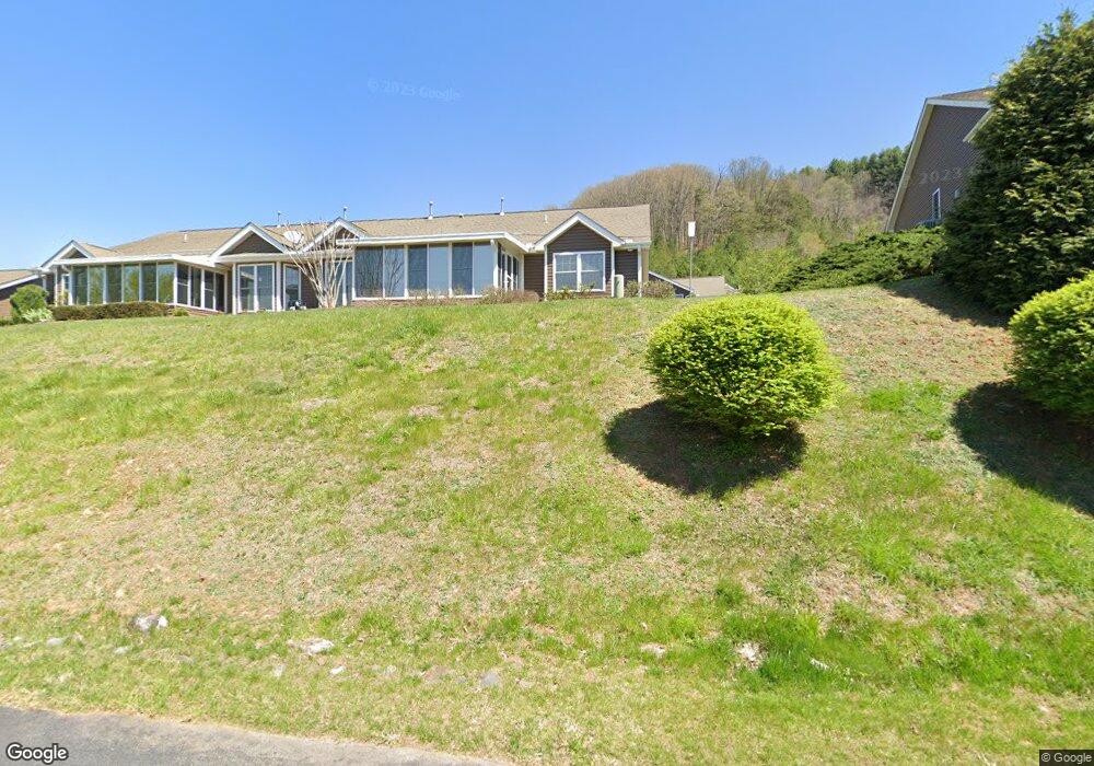
64 Denali Ln Waynesville, NC 28786
Estimated Value: $402,186 - $488,000
2
Beds
2
Baths
1,374
Sq Ft
$310/Sq Ft
Est. Value
About This Home
This home is located at 64 Denali Ln, Waynesville, NC 28786 and is currently estimated at $426,047, approximately $310 per square foot. 64 Denali Ln is a home located in Haywood County with nearby schools including Junaluska Elementary, Waynesville Middle, and Tuscola High.
Ownership History
Date
Name
Owned For
Owner Type
Purchase Details
Closed on
Dec 9, 2020
Sold by
Green Jimmy Earl and Green Susan Marcia
Bought by
Loyer Philip Kreis
Current Estimated Value
Purchase Details
Closed on
Jul 27, 2007
Sold by
Green Jimmey E
Bought by
Green Jo Ann
Purchase Details
Closed on
Jun 30, 2006
Sold by
Harrell & Associates Realtors Llc
Bought by
Green Jimmey E and Green Jo Ann
Create a Home Valuation Report for This Property
The Home Valuation Report is an in-depth analysis detailing your home's value as well as a comparison with similar homes in the area
Home Values in the Area
Average Home Value in this Area
Purchase History
| Date | Buyer | Sale Price | Title Company |
|---|---|---|---|
| Loyer Philip Kreis | $245,000 | None Available | |
| Green Jo Ann | -- | None Available | |
| Green Jimmey E | $234,000 | None Available |
Source: Public Records
Tax History Compared to Growth
Tax History
| Year | Tax Paid | Tax Assessment Tax Assessment Total Assessment is a certain percentage of the fair market value that is determined by local assessors to be the total taxable value of land and additions on the property. | Land | Improvement |
|---|---|---|---|---|
| 2025 | -- | $237,600 | $25,000 | $212,600 |
| 2024 | $1,941 | $237,600 | $25,000 | $212,600 |
| 2023 | $1,846 | $237,600 | $25,000 | $212,600 |
| 2022 | $1,751 | $237,600 | $25,000 | $212,600 |
| 2021 | $1,751 | $237,600 | $25,000 | $212,600 |
| 2020 | $1,574 | $196,500 | $25,000 | $171,500 |
| 2019 | $1,579 | $196,500 | $25,000 | $171,500 |
| 2018 | $1,579 | $196,500 | $25,000 | $171,500 |
| 2017 | $1,579 | $196,500 | $0 | $0 |
| 2016 | $1,183 | $145,400 | $0 | $0 |
| 2015 | $1,183 | $145,400 | $0 | $0 |
| 2014 | $1,068 | $145,400 | $0 | $0 |
Source: Public Records
Map
Nearby Homes
- 31 Denali Ln
- 00 Liner Cove Rd Unit 2
- 00 Liner Cove Rd Unit 1
- 00 Aster Ridge Dr Unit 10
- 541 Paragon Pkwy
- 21 Gunter Dr
- 0000 Belmont Dr
- 00 Belmont Dr
- TBD Belmont Dr
- 99999 Belmont Dr
- 00 Leroy George Dr
- 1465 S Lakeshore Dr Unit D1
- 1465 S Lakeshore Dr Unit B2
- 181 Junaluska Oaks Dr
- 29 Tillman Rd
- 40 Panda Trail
- 00 Bark Trail
- 38 Eden Ln
- 0 Old Clyde Rd
- 35 Lee Rd
- 84 Denali Ln Unit 401
- 48 Denali Ln Unit 204 PHASE 2
- 48 Denali Ln Unit 204
- 9 Kenai Trail
- 88 Denali Ln Unit 402
- 239 Castle Creek Dr Unit 401
- 55 Denali Ln
- 40 Denali Ln
- 235 Castle Creek Dr
- 259 Castle Creek Dr
- 23 Kenai Trail
- 10 Kenai Trail Unit 801
- 39 Denali Ln
- 38 Denali Ln
- 38 Denali Ln
- 265 Castle Creek Dr
- 22 Kenai Trail Unit 901
- 278 Castle Creek Dr
- 35 Denali Ln Unit 502
- 49 Kenai Trail