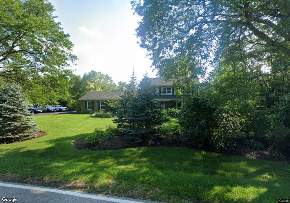
64 Lake Shore Dr Barrington, IL 60010
Timberlake NeighborhoodEstimated Value: $617,468 - $682,000
--
Bed
1
Bath
3,059
Sq Ft
$212/Sq Ft
Est. Value
About This Home
This home is located at 64 Lake Shore Dr, Barrington, IL 60010 and is currently estimated at $647,117, approximately $211 per square foot. 64 Lake Shore Dr is a home with nearby schools including North Barrington Elementary School, Barrington Middle School Station Campus, and Barrington High School.
Ownership History
Date
Name
Owned For
Owner Type
Purchase Details
Closed on
Apr 10, 2006
Sold by
Foley Thomas D and Foley Elizabeth C
Bought by
Mays Matthew A and Ponsolle Mays Michelle R
Current Estimated Value
Home Financials for this Owner
Home Financials are based on the most recent Mortgage that was taken out on this home.
Original Mortgage
$417,000
Interest Rate
5.75%
Mortgage Type
Purchase Money Mortgage
Create a Home Valuation Report for This Property
The Home Valuation Report is an in-depth analysis detailing your home's value as well as a comparison with similar homes in the area
Home Values in the Area
Average Home Value in this Area
Purchase History
| Date | Buyer | Sale Price | Title Company |
|---|---|---|---|
| Mays Matthew A | $522,000 | Greater Illinois Title Co |
Source: Public Records
Mortgage History
| Date | Status | Borrower | Loan Amount |
|---|---|---|---|
| Previous Owner | Mays Matthew A | $417,000 |
Source: Public Records
Tax History Compared to Growth
Tax History
| Year | Tax Paid | Tax Assessment Tax Assessment Total Assessment is a certain percentage of the fair market value that is determined by local assessors to be the total taxable value of land and additions on the property. | Land | Improvement |
|---|---|---|---|---|
| 2024 | $11,168 | $189,152 | $32,712 | $156,440 |
| 2023 | $12,025 | $169,142 | $29,252 | $139,890 |
| 2022 | $12,025 | $179,896 | $33,094 | $146,802 |
| 2021 | $11,721 | $172,559 | $32,531 | $140,028 |
| 2020 | $11,441 | $172,025 | $32,430 | $139,595 |
| 2019 | $10,995 | $167,486 | $31,574 | $135,912 |
| 2018 | $10,759 | $168,196 | $27,265 | $140,931 |
| 2017 | $10,639 | $164,817 | $26,717 | $138,100 |
| 2016 | $10,397 | $158,600 | $25,709 | $132,891 |
| 2015 | $9,895 | $148,753 | $24,113 | $124,640 |
| 2014 | $10,296 | $148,524 | $28,193 | $120,331 |
| 2012 | $9,945 | $151,078 | $28,678 | $122,400 |
Source: Public Records
Map
Nearby Homes
- 431 Maplewood Dr
- 431 E Oakwood Dr
- 124 Ravine Ln
- 26290 N Us Highway 12
- 26220 N Hill Ave
- 26587 N Cherrywood Ln
- 25440 N Wagon Wheel Ct
- 26011 N Rand Rd
- 111 Stone Marsh Ln
- 35 Riderwood Rd
- 115 Red Wing Ln
- 24445 W Milton Rd
- 132 N Wynstone Dr Unit W
- 12 Riderwood Rd
- 96 S Wynstone Dr
- 25235 W Hermosa Ave
- 83 S Wynstone Dr
- 25171 N Virginia Ave
- 1 Kensington Dr
- 729 Old Barn Rd Unit C
- 66 Lake Shore Dr
- 465 Knollwood Dr
- 65 Lake Shore Dr
- 463 Knollwood Dr
- 68 Lake Shore Dr
- 68 Lake Shore Dr
- 63 Lake Shore Dr
- 25797 N West Lake Shore Dr
- 61 Lake Shore Dr
- 61 Lake Shore Dr
- 25788 N Knollwood Dr
- 468 Knollwood Dr
- 25766 N Knollwood Dr
- 462 Maplewood Dr
- 25710 N Knollwood Dr
- 464 Knollwood Dr
- 71 Lake Shore Dr
- 470 Knollwood Dr
- 25814 N Knollwood Dr
- 462 Knollwood Dr