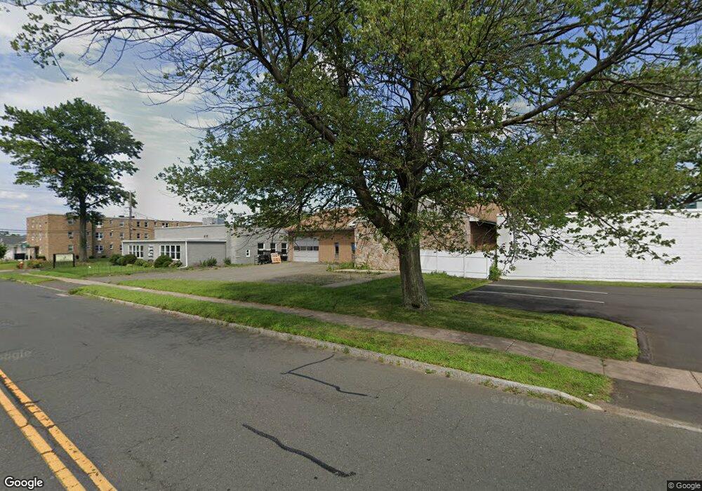
64 South St West Hartford, CT 06110
Estimated Value: $473,025
--
Bed
--
Bath
4,516
Sq Ft
$105/Sq Ft
Est. Value
About This Home
This home is located at 64 South St, West Hartford, CT 06110 and is currently estimated at $473,025, approximately $104 per square foot. 64 South St is a home located in Hartford County with nearby schools including Wolcott School, Duffy School, and Sedgwick Middle School.
Ownership History
Date
Name
Owned For
Owner Type
Purchase Details
Closed on
Oct 7, 2014
Sold by
Angelillo Robert M
Bought by
Pangaea Properties Llc
Current Estimated Value
Purchase Details
Closed on
Apr 21, 2014
Sold by
Mcdonald Thomas and Angelillo Robert M
Bought by
Angelillo Robert M
Purchase Details
Closed on
Jul 27, 2000
Sold by
Sereny Peter and Sereny Aron
Bought by
Mcdonald Thomas A and Mcdonald Ireine M
Home Financials for this Owner
Home Financials are based on the most recent Mortgage that was taken out on this home.
Original Mortgage
$182,400
Interest Rate
9.08%
Mortgage Type
Commercial
Purchase Details
Closed on
Aug 20, 1997
Sold by
Pepe Peter A and Pepe Dianna J
Bought by
Graff Louis G and Radford Martha J
Purchase Details
Closed on
Dec 10, 1990
Sold by
Steamfitters Local 218
Bought by
Sereny Peter
Purchase Details
Closed on
Mar 5, 1988
Sold by
Vitti Benj
Bought by
United Assoc Of
Create a Home Valuation Report for This Property
The Home Valuation Report is an in-depth analysis detailing your home's value as well as a comparison with similar homes in the area
Home Values in the Area
Average Home Value in this Area
Purchase History
| Date | Buyer | Sale Price | Title Company |
|---|---|---|---|
| Pangaea Properties Llc | $250,000 | -- | |
| Pangaea Properties Llc | $250,000 | -- | |
| Angelillo Robert M | $114,907 | -- | |
| Angelillo Robert M | $114,907 | -- | |
| Mcdonald Thomas A | $228,000 | -- | |
| Mcdonald Thomas A | $228,000 | -- | |
| Graff Louis G | $279,900 | -- | |
| Graff Louis G | $279,900 | -- | |
| Sereny Peter | $331,500 | -- | |
| United Assoc Of | $16,000 | -- |
Source: Public Records
Mortgage History
| Date | Status | Borrower | Loan Amount |
|---|---|---|---|
| Previous Owner | United Assoc Of | $169,663 | |
| Previous Owner | United Assoc Of | $182,400 |
Source: Public Records
Tax History Compared to Growth
Tax History
| Year | Tax Paid | Tax Assessment Tax Assessment Total Assessment is a certain percentage of the fair market value that is determined by local assessors to be the total taxable value of land and additions on the property. | Land | Improvement |
|---|---|---|---|---|
| 2025 | $10,256 | $229,040 | $78,610 | $150,430 |
| 2024 | $9,700 | $229,040 | $78,610 | $150,430 |
| 2023 | $9,372 | $229,040 | $78,610 | $150,430 |
| 2022 | $9,317 | $229,040 | $78,610 | $150,430 |
| 2021 | $8,795 | $207,340 | $64,050 | $143,290 |
| 2020 | $8,667 | $207,340 | $64,050 | $143,290 |
| 2019 | $8,667 | $207,340 | $64,050 | $143,290 |
| 2018 | $8,501 | $207,340 | $64,050 | $143,290 |
| 2017 | $8,509 | $207,340 | $64,050 | $143,290 |
| 2016 | $8,939 | $226,240 | $144,130 | $82,110 |
| 2015 | $8,667 | $226,240 | $144,130 | $82,110 |
| 2014 | $8,455 | $226,240 | $144,130 | $82,110 |
Source: Public Records
Map
Nearby Homes
- 90 Meriline Ave
- 121 Cambridge St
- 93 Stanwood St
- 161 Abbotsford Ave
- 41 Page Ave
- 127 Hollywood Ave
- 937 New Britain Ave
- 93 Marion St Unit 3
- 29 Sunnyside Rd
- 1145 New Britain Ave
- 90 Park Place Cir Unit 90
- 49 Park Place Cir Unit 49
- 49 Somerset St
- 148 Colonial St
- 43 Marion St
- 5 Brinley Ave
- 61 Colonial St
- 204 Trout Brook Dr
- 82 Nepaug St
- 107 Westgate St
- 58 South St
- 20 Hurlbut St
- 20 Hurlbut St Unit 100
- 20 Hurlbut St Unit 102
- 20 Hurlbut St Unit 202
- 40 South St
- 83 South St
- 101 South St
- 106 South St Unit B
- 106 South St Unit D
- 106 South St Unit E
- 106 South St Unit C
- 106 South St
- 106 South St Unit Suite A
- 106 South St Unit Suite B
- 12 Cody St
- 97 South St
- 97 South St Unit 110
- 97 South St Unit 116
- 97 South St Unit 106