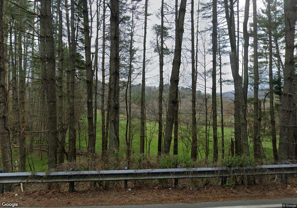
640 Alarka Rd Bryson City, NC 28713
Estimated Value: $201,000 - $251,171
2
Beds
1
Bath
1,054
Sq Ft
$210/Sq Ft
Est. Value
About This Home
This home is located at 640 Alarka Rd, Bryson City, NC 28713 and is currently estimated at $221,043, approximately $209 per square foot. 640 Alarka Rd is a home with nearby schools including Swain County Middle School, Swain County West Elementary School, and Swain County High School.
Ownership History
Date
Name
Owned For
Owner Type
Purchase Details
Closed on
Oct 14, 2025
Sold by
Ann M Holden Living Trust and Holden Ann M
Bought by
Dehart Roy Kenneth
Current Estimated Value
Purchase Details
Closed on
Sep 18, 2025
Sold by
Dehart Thomas Edward and Desha Barbara
Bought by
Ann M Holden Living Trust and Holden
Create a Home Valuation Report for This Property
The Home Valuation Report is an in-depth analysis detailing your home's value as well as a comparison with similar homes in the area
Home Values in the Area
Average Home Value in this Area
Purchase History
| Date | Buyer | Sale Price | Title Company |
|---|---|---|---|
| Dehart Roy Kenneth | $10,000 | None Listed On Document | |
| Ann M Holden Living Trust | $200,000 | None Listed On Document |
Source: Public Records
Tax History Compared to Growth
Tax History
| Year | Tax Paid | Tax Assessment Tax Assessment Total Assessment is a certain percentage of the fair market value that is determined by local assessors to be the total taxable value of land and additions on the property. | Land | Improvement |
|---|---|---|---|---|
| 2025 | $927 | $197,140 | $157,510 | $39,630 |
| 2024 | $927 | $197,140 | $157,510 | $39,630 |
| 2023 | $828 | $197,140 | $157,510 | $39,630 |
| 2022 | $828 | $197,140 | $157,510 | $39,630 |
| 2021 | $828 | $197,140 | $0 | $0 |
| 2020 | $626 | $152,180 | $126,370 | $25,810 |
| 2019 | $626 | $152,180 | $126,370 | $25,810 |
| 2018 | $625 | $152,180 | $126,370 | $25,810 |
| 2017 | $625 | $152,180 | $126,370 | $25,810 |
| 2016 | $625 | $152,180 | $126,370 | $25,810 |
| 2015 | -- | $152,180 | $126,370 | $25,810 |
| 2014 | -- | $152,180 | $126,370 | $25,810 |
Source: Public Records
Map
Nearby Homes
- 210 Oak Hill Dr
- 280 Bear Cove Rd
- 73 Robinson Gap Ln
- 0 Bear Cove Cir Unit 10081397
- 1400 Alarka Rd
- 0 Bear Cove Unit NCSW2000014
- 4160 U S 19
- 67 Trent Field Rd
- Lot 6 Biltmore Cir
- 91 Friendship Walk
- Lot 16 Bryson Gap Preserve
- Lot 15 Bryson Gap Preserve
- Lot 14 Bryson Gap Preserve
- 2311 Alarka Rd
- 1955 Sam Davis Rd
- 160 Watavue Dr
- 26 Stable Rd
- 1185 Mountain Dr
- 65 Cunningham Rd
- 70 Green Valley Acres
- 645 Alarka Rd
- 169 Mallard Rd
- 665 Alarka Rd
- 695 Alarka Rd
- 61 Mallard Rd W
- 435 Mallard Rd
- 20 Mallard Rd W
- 39 Mallard Rd
- 223 Mallard Rd W
- 200 Mallard Rd
- 144 Mallard Rd
- 0 Mallard
- 1 Brendle Rd
- 22 Bear Cove Rd
- 5 Brendle Rd
- 52 Bear Cove Rd Unit 11
- 70 Bear Cove Rd
- 2721 Andrew Jackson Hwy
- 2415 Andrew Jackson Hwy
- 715 Brush Creek Mountain Rd
