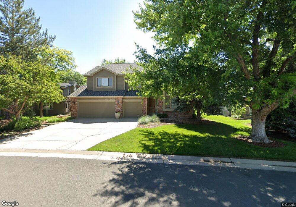
640 Fairfield Ln Louisville, CO 80027
Estimated Value: $1,209,509 - $1,521,000
4
Beds
3
Baths
2,616
Sq Ft
$510/Sq Ft
Est. Value
About This Home
This home is located at 640 Fairfield Ln, Louisville, CO 80027 and is currently estimated at $1,334,377, approximately $510 per square foot. 640 Fairfield Ln is a home located in Boulder County with nearby schools including Monarch K-8 School, Monarch High School, and The Goddard School - Louisville.
Ownership History
Date
Name
Owned For
Owner Type
Purchase Details
Closed on
Jan 11, 1991
Bought by
Johnson Mark B and Johnson Diane B
Current Estimated Value
Purchase Details
Closed on
Jun 1, 1990
Bought by
Johnson Mark B and Johnson Diane B
Purchase Details
Closed on
Dec 6, 1988
Bought by
Johnson Mark B and Johnson Diane B
Purchase Details
Closed on
Nov 18, 1988
Bought by
Johnson Mark B and Johnson Diane B
Create a Home Valuation Report for This Property
The Home Valuation Report is an in-depth analysis detailing your home's value as well as a comparison with similar homes in the area
Home Values in the Area
Average Home Value in this Area
Purchase History
| Date | Buyer | Sale Price | Title Company |
|---|---|---|---|
| Johnson Mark B | $207,200 | -- | |
| Johnson Mark B | $40,500 | -- | |
| Johnson Mark B | $100,000 | -- | |
| Johnson Mark B | -- | -- |
Source: Public Records
Tax History Compared to Growth
Tax History
| Year | Tax Paid | Tax Assessment Tax Assessment Total Assessment is a certain percentage of the fair market value that is determined by local assessors to be the total taxable value of land and additions on the property. | Land | Improvement |
|---|---|---|---|---|
| 2025 | $6,494 | $77,937 | $42,056 | $35,881 |
| 2024 | $6,494 | $77,937 | $42,056 | $35,881 |
| 2023 | $6,384 | $78,953 | $43,450 | $39,188 |
| 2022 | $5,189 | $60,868 | $31,400 | $29,468 |
| 2021 | $5,442 | $65,915 | $34,005 | $31,910 |
| 2020 | $5,384 | $57,529 | $30,602 | $26,927 |
| 2019 | $5,307 | $57,529 | $30,602 | $26,927 |
| 2018 | $4,963 | $55,555 | $19,656 | $35,899 |
| 2017 | $4,864 | $61,420 | $21,731 | $39,689 |
| 2016 | $4,646 | $52,806 | $21,810 | $30,996 |
| 2015 | $4,403 | $47,115 | $9,393 | $37,722 |
| 2014 | $4,028 | $47,115 | $9,393 | $37,722 |
Source: Public Records
Map
Nearby Homes
- 362 S Taft Ct Unit 108
- 749 Apple Ct
- 567 Manorwood Ln
- 284 S Taft Ct Unit 76
- 539 Coal Creek Ln
- 323 S Taft Ct Unit 26
- 305 S Taft Ct Unit 33
- 279 S Taft Ct Unit 53
- 546 Ridgeview Dr
- 641 W Dahlia St
- 572 Ridgeview Dr
- 716 Club Cir
- 620 Ridgeview Dr
- 203 Springs Dr
- 159 S Polk Ave
- 730 Copper Ln Unit 106
- 118 S Tanager Ct
- 499 Muirfield Cir
- 497 Muirfield Cir
- 812 W Mulberry St
- 636 Fairfield Ln
- 650 Fairfield Ln
- 537 Coventry Ln
- 620 Fairfield Ln
- 635 Fairfield Ln
- 612 Fairfield Ln
- 541 Coventry Ln
- 683 Manorwood Ln
- 639 Fairfield Ln
- 643 Fairfield Ln
- 673 Manorwood Ln
- 651 Fairfield Ln
- 631 Fairfield Ln
- 545 Coventry Ln
- 621 Fairfield Ln
- 675 Manorwood Ln
- 619 Fairfield Ln
- 686 Manorwood Ln
- 617 Fairfield Ln
- 627 Fairfield Ln