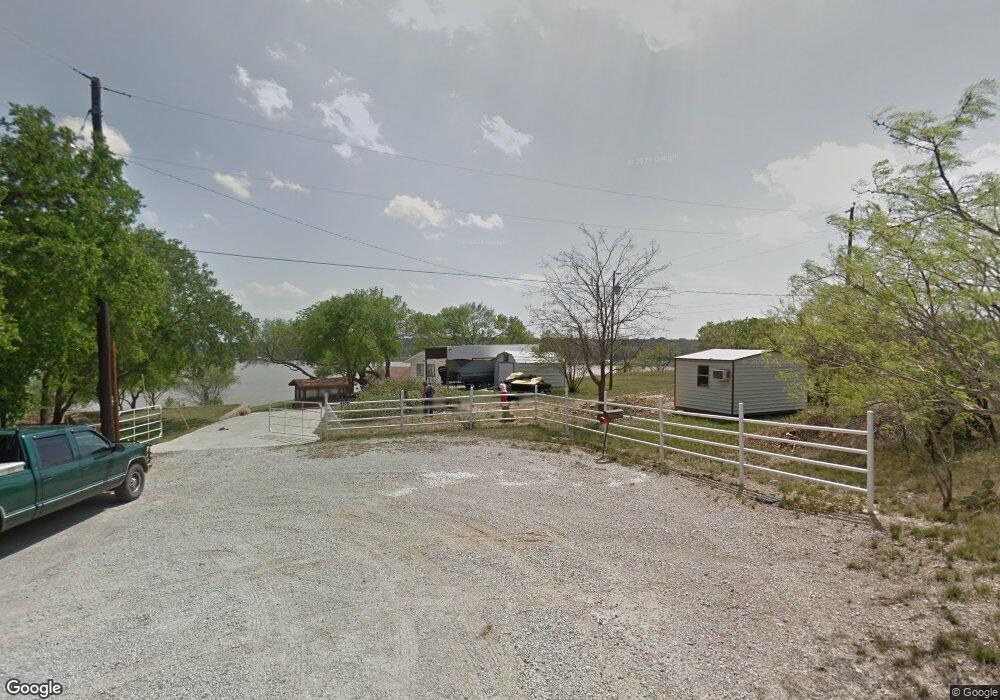
6401 County Road 594 Brownwood, TX 76801
Estimated Value: $820,000 - $977,000
3
Beds
3
Baths
3,471
Sq Ft
$266/Sq Ft
Est. Value
About This Home
This home is located at 6401 County Road 594, Brownwood, TX 76801 and is currently estimated at $924,594, approximately $266 per square foot. 6401 County Road 594 is a home located in Brown County with nearby schools including J.B. Stephens Elementary School, Bangs Middle School, and Bangs High School.
Ownership History
Date
Name
Owned For
Owner Type
Purchase Details
Closed on
Apr 12, 2006
Sold by
Freeman Billie P
Bought by
Chief Leroy Llc
Current Estimated Value
Home Financials for this Owner
Home Financials are based on the most recent Mortgage that was taken out on this home.
Original Mortgage
$297,500
Interest Rate
8%
Mortgage Type
Future Advance Clause Open End Mortgage
Create a Home Valuation Report for This Property
The Home Valuation Report is an in-depth analysis detailing your home's value as well as a comparison with similar homes in the area
Home Values in the Area
Average Home Value in this Area
Purchase History
| Date | Buyer | Sale Price | Title Company |
|---|---|---|---|
| Chief Leroy Llc | -- | -- |
Source: Public Records
Mortgage History
| Date | Status | Borrower | Loan Amount |
|---|---|---|---|
| Closed | Chief Leroy Llc | $297,500 |
Source: Public Records
Tax History Compared to Growth
Tax History
| Year | Tax Paid | Tax Assessment Tax Assessment Total Assessment is a certain percentage of the fair market value that is determined by local assessors to be the total taxable value of land and additions on the property. | Land | Improvement |
|---|---|---|---|---|
| 2025 | $10,717 | $864,740 | $132,100 | $732,640 |
| 2024 | $10,730 | $865,830 | $142,080 | $723,750 |
| 2023 | $10,189 | $817,490 | $142,080 | $675,410 |
| 2022 | $11,775 | $815,740 | $142,080 | $673,660 |
| 2021 | $11,200 | $687,660 | $133,580 | $554,080 |
| 2020 | $11,164 | $650,970 | $77,090 | $573,880 |
| 2019 | $8,329 | $458,040 | $77,090 | $380,950 |
| 2018 | $7,902 | $430,920 | $77,090 | $353,830 |
| 2017 | $7,656 | $418,070 | $64,240 | $353,830 |
| 2016 | $7,266 | $396,790 | $42,960 | $353,830 |
| 2015 | -- | $396,790 | $42,960 | $353,830 |
| 2014 | -- | $396,790 | $42,960 | $353,830 |
Source: Public Records
Map
Nearby Homes
- 8042 County Road 546
- 6930 County Road 569
- Lot 6 County Road 601
- Lot 22 Turner Ranch Rd
- Lot 23 Turner Ranch Rd
- 8765 Texas 279
- 6912 Ireland Dr
- 8073 Cr 604
- 6996 Shamrock Dr
- 6944 Shamrock Dr
- 6908 Clover Leaf Dr
- 6926 Shamrock Dr
- 6926 Turner Dr
- 9224 Highway 279
- 8057 County Road 606
- 7161 Robin Ln
- 6959 Shamrock Dr
- Tbd Saint Patrick Dr
- 0 Donegal Dr
- 8036 County Road 604
- 6327 Rolling Hills Rd
- 6403 County Road 594
- 6031 County Road 594
- 6405 County Road 594
- 6301 Rolling Hills Rd
- 6011 County Road 594
- 6270 Rolling Hills Rd
- 6053 County Road 594
- 6305 Rolling Hills Rd
- 6009 County Road 594
- 6309 Rolling Hills Rd
- 6320 Rolling Hills Rd
- 6100 County Road 594
- 6321 Rolling Hills Rd
- 6325 Rolling Hills Rd
- TBD 1 Rolling Hills Rd
- TBD Rolling Hills Rd
- lot 29 Rolling Hills Rd
- LOT 15 Rolling Hills Rd
- LOT 16 Rolling Hills Rd