641 Mountain Lake Rd Dawsonville, GA 30534
Dawson County NeighborhoodEstimated Value: $643,000 - $812,000
3
Beds
3
Baths
1,904
Sq Ft
$370/Sq Ft
Est. Value
About This Home
This home is located at 641 Mountain Lake Rd, Dawsonville, GA 30534 and is currently estimated at $704,103, approximately $369 per square foot. 641 Mountain Lake Rd is a home located in Dawson County with nearby schools including Robinson Elementary School, Dawson County Junior High School, and Dawson County Middle School.
Ownership History
Date
Name
Owned For
Owner Type
Purchase Details
Closed on
Nov 26, 2002
Sold by
Sword Gail
Bought by
Sword Randy E and Sword Gail G
Current Estimated Value
Purchase Details
Closed on
Oct 30, 1998
Sold by
Gravitt Eugene T
Bought by
Sword Gail
Purchase Details
Closed on
Jan 12, 1976
Sold by
Winders Frank A
Bought by
Gravitt Eugene T
Create a Home Valuation Report for This Property
The Home Valuation Report is an in-depth analysis detailing your home's value as well as a comparison with similar homes in the area
Home Values in the Area
Average Home Value in this Area
Purchase History
| Date | Buyer | Sale Price | Title Company |
|---|---|---|---|
| Sword Randy E | -- | -- | |
| Sword Gail | -- | -- | |
| Gravitt Eugene T | $4,000 | -- |
Source: Public Records
Tax History Compared to Growth
Tax History
| Year | Tax Paid | Tax Assessment Tax Assessment Total Assessment is a certain percentage of the fair market value that is determined by local assessors to be the total taxable value of land and additions on the property. | Land | Improvement |
|---|---|---|---|---|
| 2024 | $1,035 | $222,960 | $99,800 | $123,160 |
| 2023 | $1,906 | $199,560 | $76,000 | $123,560 |
| 2022 | $1,644 | $149,040 | $52,880 | $96,160 |
| 2021 | $1,500 | $138,600 | $52,880 | $85,720 |
| 2020 | $1,696 | $144,000 | $60,240 | $83,760 |
| 2019 | $3,207 | $136,360 | $60,240 | $76,120 |
| 2018 | $1,881 | $138,040 | $60,240 | $77,800 |
| 2017 | $1,489 | $116,045 | $54,586 | $61,459 |
| 2016 | $1,507 | $116,892 | $54,586 | $62,306 |
| 2015 | $1,446 | $107,636 | $49,670 | $57,966 |
| 2014 | $1,339 | $101,658 | $49,670 | $51,987 |
| 2013 | -- | $93,905 | $49,670 | $44,234 |
Source: Public Records
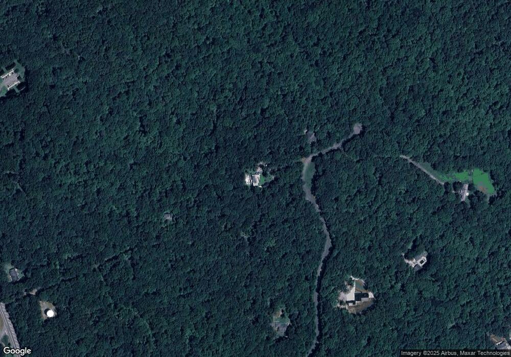
Map
Nearby Homes
- 305 Mountain Brook Rd
- 0 Afton #4 Rd
- 0 Rd
- 0 Rd
- 0 Mountain Brook Rd Unit 7614426
- 0 Mountain Brook Rd Unit 10571981
- 0 Mountain Brook Rd Unit 7614434
- 0 Mountain Brook Rd Unit 10570759
- 301 Collins Rd
- 74 E Gate Dr
- 204 Hugh Stowers Rd
- 113 Sandberg Way
- 72 Rand Way
- 10 Sandberg Way
- 134 Cicero Trail
- 270 Shepard Dr
- 262 Magnolia Dr
- 46 Fernbrook Trail
- 181 Longleaf St
- 21 Shepard Dr
- 6605 6605 Surprise Ln Unit LOT 20
- 400 Flash Dr
- 50 Kenneth Dr
- 1785 Highway 53 E
- 185 Mountain Lake Rd
- 532 Mountain Lake Rd
- 735 Mountain Lake Rd
- 506 Mountain Lake Rd
- 628 Mountain Lake Rd
- 790 Mountain Lake Rd
- 621 Mountain Brook Rd
- 0 Whitetail Ridge Tract 2
- 179 Mountain Brook Rd
- 0 Sams Pirkle Lake Unit 10586699
- 00 Ridgeview Ln
- 00 Cleve Wright Rd Unit TRACT 2
- 1781 Highway 53 E
- 50 Shardwood Place
- 26 Shardwood Place
- 559 Mountain Brook Rd