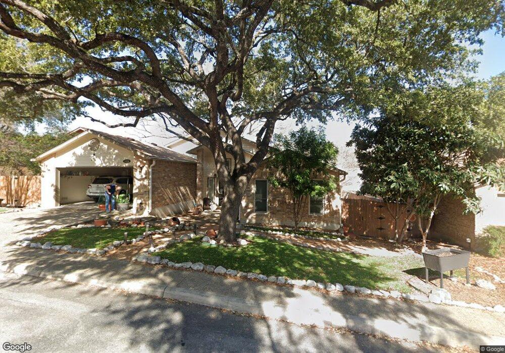
6434 Brookway Dr San Antonio, TX 78240
Alamo Farmsteads NeighborhoodEstimated Value: $289,000 - $337,000
3
Beds
2
Baths
1,865
Sq Ft
$170/Sq Ft
Est. Value
About This Home
This home is located at 6434 Brookway Dr, San Antonio, TX 78240 and is currently estimated at $317,355, approximately $170 per square foot. 6434 Brookway Dr is a home located in Bexar County with nearby schools including Thornton Elementary School, Earl Rudder Middle School, and John Marshall High School.
Ownership History
Date
Name
Owned For
Owner Type
Purchase Details
Closed on
Apr 11, 2003
Sold by
Talley Bonnie H and Talley Ronald C
Bought by
Latteo Philip J and Scott Linda Sue
Current Estimated Value
Home Financials for this Owner
Home Financials are based on the most recent Mortgage that was taken out on this home.
Original Mortgage
$92,400
Outstanding Balance
$39,374
Interest Rate
5.64%
Estimated Equity
$277,981
Purchase Details
Closed on
Mar 11, 1996
Sold by
Talley Bonnie H and Hensley Bonnie
Bought by
Talley Ronald C
Create a Home Valuation Report for This Property
The Home Valuation Report is an in-depth analysis detailing your home's value as well as a comparison with similar homes in the area
Home Values in the Area
Average Home Value in this Area
Purchase History
| Date | Buyer | Sale Price | Title Company |
|---|---|---|---|
| Latteo Philip J | -- | Chicago Title | |
| Talley Ronald C | -- | -- |
Source: Public Records
Mortgage History
| Date | Status | Borrower | Loan Amount |
|---|---|---|---|
| Open | Latteo Philip J | $92,400 |
Source: Public Records
Tax History Compared to Growth
Tax History
| Year | Tax Paid | Tax Assessment Tax Assessment Total Assessment is a certain percentage of the fair market value that is determined by local assessors to be the total taxable value of land and additions on the property. | Land | Improvement |
|---|---|---|---|---|
| 2025 | $1,613 | $336,872 | $81,980 | $272,810 |
| 2024 | $1,613 | $306,247 | $81,980 | $272,810 |
| 2023 | $1,613 | $278,406 | $81,980 | $274,270 |
| 2022 | $6,265 | $253,096 | $62,090 | $268,090 |
| 2021 | $5,898 | $230,087 | $50,940 | $195,320 |
| 2020 | $5,457 | $209,170 | $36,260 | $172,910 |
| 2019 | $5,481 | $204,590 | $36,260 | $168,330 |
| 2018 | $5,450 | $203,320 | $36,260 | $167,060 |
| 2017 | $4,988 | $185,740 | $36,260 | $149,480 |
| 2016 | $4,670 | $173,900 | $36,260 | $137,640 |
| 2015 | $3,026 | $167,552 | $36,260 | $137,640 |
| 2014 | $3,026 | $152,320 | $0 | $0 |
Source: Public Records
Map
Nearby Homes
- 6407 Lost Arbor
- 7358 Teal Trace
- 7362 Teal Trace
- 6518 Bufflehead Bend
- 6502 Bufflehead Bend
- 6531 Bufflehead Bend
- 6618 Pintail Pass
- 6610 Pintail Pass
- 6527 Bufflehead Bend
- 6530 Bufflehead Bend
- 6526 Bufflehead Bend
- 6547 Bufflehead Bend
- 6523 Bufflehead Bend
- 6511 Bufflehead Bend
- 6535 Bufflehead Bend
- 6515 Bufflehead Bend
- 6522 Bufflehead Bend
- 6534 Bufflehead Bend
- 6538 Bufflehead Bend
- 6519 Bufflehead Bend
- 6404 Brookway Dr Unit 1
- 6404 Brookway Dr
- 6438 Brookway Dr
- 6432 Brookway Dr
- 6440 Brookway Dr
- 6406 Brook Cove
- 9411 Whisper Point
- 6404 Brook Cove
- 9409 Whisper Point
- 6457 Brookway Dr
- 6459 Brookway Dr
- 6455 Brookway Dr
- 6408 Brook Cove
- 9407 Whisper Point
- 6461 Brookway Dr
- 6442 Brookway Dr
- 6453 Brookway Dr
- 6451 Brookway Dr
- 9405 Whisper Point
- 6463 Brookway Dr