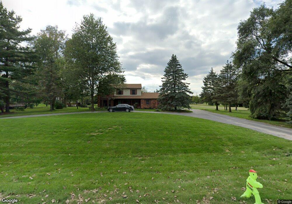
6435 Napier Rd Unit Bldg-Unit Plymouth, MI 48170
Estimated Value: $428,825 - $530,000
3
Beds
3
Baths
1,648
Sq Ft
$294/Sq Ft
Est. Value
About This Home
This home is located at 6435 Napier Rd Unit Bldg-Unit, Plymouth, MI 48170 and is currently estimated at $485,206, approximately $294 per square foot. 6435 Napier Rd Unit Bldg-Unit is a home located in Washtenaw County with nearby schools including Canton High School, Bird Elementary School, and West Middle School.
Ownership History
Date
Name
Owned For
Owner Type
Purchase Details
Closed on
Jul 13, 2018
Sold by
Lowe Ruby J and Lowe Fred L
Bought by
Anderson Evan and Anderson Lydia
Current Estimated Value
Home Financials for this Owner
Home Financials are based on the most recent Mortgage that was taken out on this home.
Original Mortgage
$289,750
Interest Rate
4.5%
Mortgage Type
New Conventional
Purchase Details
Closed on
Sep 8, 1995
Sold by
Dickinson Betty M
Bought by
Lowe Fred L and Lowe Ruby J
Home Financials for this Owner
Home Financials are based on the most recent Mortgage that was taken out on this home.
Original Mortgage
$90,000
Interest Rate
7.81%
Mortgage Type
New Conventional
Create a Home Valuation Report for This Property
The Home Valuation Report is an in-depth analysis detailing your home's value as well as a comparison with similar homes in the area
Home Values in the Area
Average Home Value in this Area
Purchase History
| Date | Buyer | Sale Price | Title Company |
|---|---|---|---|
| Anderson Evan | $305,000 | Title One Inc | |
| Lowe Fred L | $185,000 | -- |
Source: Public Records
Mortgage History
| Date | Status | Borrower | Loan Amount |
|---|---|---|---|
| Previous Owner | Anderson Evan | $289,750 | |
| Previous Owner | Lowe Fred L | $90,000 |
Source: Public Records
Tax History Compared to Growth
Tax History
| Year | Tax Paid | Tax Assessment Tax Assessment Total Assessment is a certain percentage of the fair market value that is determined by local assessors to be the total taxable value of land and additions on the property. | Land | Improvement |
|---|---|---|---|---|
| 2025 | $3,174 | $178,250 | $0 | $0 |
| 2024 | $3,174 | $167,800 | $0 | $0 |
| 2023 | $3,026 | $128,450 | $0 | $0 |
| 2022 | $3,217 | $122,800 | $0 | $0 |
| 2021 | $3,124 | $127,900 | $0 | $0 |
| 2020 | $3,090 | $117,000 | $0 | $0 |
| 2019 | $310 | $115,450 | $115,450 | $0 |
| 2018 | $2,589 | $107,650 | $0 | $0 |
| 2017 | $2,452 | $109,250 | $0 | $0 |
| 2016 | $2,077 | $96,738 | $0 | $0 |
| 2015 | -- | $96,449 | $0 | $0 |
| 2014 | -- | $93,437 | $0 | $0 |
| 2013 | -- | $93,437 | $0 | $0 |
Source: Public Records
Map
Nearby Homes
- 10631 Homestead Ln
- 00 N Territorial Rd
- 0000 N Territorial Rd
- 6411 Lapham Ct
- 50536 Cottonwood Ct
- 50499 Cottonwood Ct Unit 26
- 50511 Beechwood Ct Unit 1112
- 50492 Beechwood Ct
- 50520 Elmwood Ct
- 50501 Elmwood Ct Unit 11
- 6908 Abi Ln
- 11641 Chandler Dr
- 14180 F Dr
- 49582 Main Dr
- 0 E Ann Arbor Trail Unit 20251048195
- 6755 Brook Trout Ct
- 46755 Five Mile Rd
- 9875 Ann Arbor Trail
- 9343 5 Mile Rd
- 9109 N Territorial Rd
- 6435 Napier Rd
- 6415 Napier Rd
- 10651 Homestead Ln
- 6489 Napier Rd
- 6410 Napier Rd
- 6430 Napier Rd
- 6465 Napier Rd
- 6505 Napier Rd
- 6375 Napier Rd
- 6380 Napier Rd
- 10740 Last Dr
- 10611 Homestead Ln
- 10656 Homestead Ln
- 10634 Homestead Ln
- 6527 Napier Rd
- 6370 Napier Rd
- 6520 Napier Rd
- 10614 Homestead Ln
- 10589 Homestead Ln
- 6517 Clara Ln