Estimated Value: $537,000 - $626,000
2
Beds
1
Bath
768
Sq Ft
$749/Sq Ft
Est. Value
About This Home
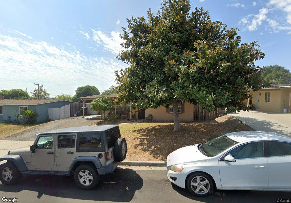
This home is located at 644 Tatum St, Vista, CA 92083 and is currently estimated at $575,388, approximately $749 per square foot. 644 Tatum St is a home located in San Diego County with nearby schools including T.H.E Leadership Academy, Roosevelt Middle School, and Rancho Buena Vista High School.
Ownership History
Date
Name
Owned For
Owner Type
Purchase Details
Closed on
Feb 15, 1995
Sold by
Hud
Bought by
Walker Christine E
Current Estimated Value
Home Financials for this Owner
Home Financials are based on the most recent Mortgage that was taken out on this home.
Original Mortgage
$77,150
Interest Rate
9.21%
Mortgage Type
FHA
Purchase Details
Closed on
May 10, 1994
Sold by
Specialized Inc
Bought by
Barclays American Mtg Corp
Purchase Details
Closed on
May 9, 1994
Sold by
Barclaysamerican Mtg Corp
Bought by
Hud
Purchase Details
Closed on
Jan 11, 1994
Sold by
Malara Michael A and Malara Susanah M
Bought by
Boston Harbor Corp
Purchase Details
Closed on
Mar 20, 1991
Purchase Details
Closed on
Jul 17, 1989
Create a Home Valuation Report for This Property
The Home Valuation Report is an in-depth analysis detailing your home's value as well as a comparison with similar homes in the area
Home Values in the Area
Average Home Value in this Area
Purchase History
| Date | Buyer | Sale Price | Title Company |
|---|---|---|---|
| Walker Christine E | $76,000 | Southland Title | |
| Barclays American Mtg Corp | $116,576 | North American Title Co | |
| Hud | -- | North American Title Company | |
| Boston Harbor Corp | $1,000 | -- | |
| -- | $108,000 | -- | |
| -- | $70,500 | -- |
Source: Public Records
Mortgage History
| Date | Status | Borrower | Loan Amount |
|---|---|---|---|
| Closed | Walker Christine E | $77,150 |
Source: Public Records
Tax History Compared to Growth
Tax History
| Year | Tax Paid | Tax Assessment Tax Assessment Total Assessment is a certain percentage of the fair market value that is determined by local assessors to be the total taxable value of land and additions on the property. | Land | Improvement |
|---|---|---|---|---|
| 2025 | $2,058 | $127,619 | $83,967 | $43,652 |
| 2024 | $2,058 | $125,118 | $82,321 | $42,797 |
| 2023 | $2,024 | $122,665 | $80,707 | $41,958 |
| 2022 | $2,019 | $120,261 | $79,125 | $41,136 |
| 2021 | $1,976 | $117,904 | $77,574 | $40,330 |
| 2020 | $1,957 | $116,696 | $76,779 | $39,917 |
| 2019 | $1,931 | $114,409 | $75,274 | $39,135 |
| 2018 | $1,870 | $112,167 | $73,799 | $38,368 |
| 2017 | $1,847 | $109,968 | $72,352 | $37,616 |
| 2016 | $1,804 | $107,813 | $70,934 | $36,879 |
| 2015 | $1,789 | $106,195 | $69,869 | $36,326 |
| 2014 | $1,749 | $104,116 | $68,501 | $35,615 |
Source: Public Records
Map
Nearby Homes
- 610 Shuboro St
- 1030 Maryland Dr
- 467-75 N Melrose Dr
- 1019 Highland Dr
- 391 N Melrose Dr Unit A
- 1114 Maryland Dr
- 503 W California Ave
- 647 W California Ave
- 720 W California Ave
- 1009 Cielita Linda Dr
- 383 N Melrose Dr Unit G
- 371 N Melrose Dr Unit D
- 383 N Melrose Dr Unit F
- 440 W Los Angeles Dr
- 1045 Stratton Dr
- 200 Olive Ave Unit 66
- 200 Olive Ave Unit 17
- 615 North Ave
- 1201 Stratton Dr
- 219 Plymouth Dr