6441 Joliat Ave Louisville, OH 44641
Estimated Value: $362,000 - $568,000
3
Beds
2
Baths
2,472
Sq Ft
$183/Sq Ft
Est. Value
About This Home
This home is located at 6441 Joliat Ave, Louisville, OH 44641 and is currently estimated at $451,991, approximately $182 per square foot. 6441 Joliat Ave is a home located in Stark County with nearby schools including Louisville High School and St. Thomas Aquinas High School & Middle School.
Ownership History
Date
Name
Owned For
Owner Type
Purchase Details
Closed on
Dec 15, 2021
Sold by
Burner Lynne N and Burner Sandra L
Bought by
Burner Lynne Nelson and Burrier Sandra Lee
Current Estimated Value
Purchase Details
Closed on
Jul 21, 2006
Sold by
Burrier Sandra L
Bought by
Burrier Lynne N and Burrier Sandra L
Purchase Details
Closed on
Dec 30, 1998
Sold by
Burrier Lynne N
Bought by
Burrier Sandra L
Purchase Details
Closed on
Sep 25, 1995
Sold by
Greer Margueritte
Bought by
Burrier Lynne N and Burrier Sandra L
Create a Home Valuation Report for This Property
The Home Valuation Report is an in-depth analysis detailing your home's value as well as a comparison with similar homes in the area
Home Values in the Area
Average Home Value in this Area
Purchase History
| Date | Buyer | Sale Price | Title Company |
|---|---|---|---|
| Burner Lynne Nelson | -- | None Available | |
| Burrier Lynne N | -- | None Available | |
| Burrier Sandra L | -- | -- | |
| Burrier Lynne N | $125,000 | -- |
Source: Public Records
Tax History Compared to Growth
Tax History
| Year | Tax Paid | Tax Assessment Tax Assessment Total Assessment is a certain percentage of the fair market value that is determined by local assessors to be the total taxable value of land and additions on the property. | Land | Improvement |
|---|---|---|---|---|
| 2025 | -- | $135,250 | $45,820 | $89,430 |
| 2024 | -- | $135,250 | $45,820 | $89,430 |
| 2023 | $4,196 | $94,920 | $30,380 | $64,540 |
| 2022 | $4,225 | $94,920 | $30,380 | $64,540 |
| 2021 | $4,237 | $94,920 | $30,380 | $64,540 |
| 2020 | $3,497 | $83,830 | $27,370 | $56,460 |
| 2019 | $3,512 | $83,840 | $27,380 | $56,460 |
| 2018 | $3,502 | $83,840 | $27,380 | $56,460 |
| 2017 | $3,448 | $79,350 | $23,420 | $55,930 |
| 2016 | $2,874 | $68,860 | $24,820 | $44,040 |
| 2015 | $2,882 | $68,860 | $24,820 | $44,040 |
| 2014 | $658 | $60,030 | $21,630 | $38,400 |
| 2013 | $1,333 | $60,030 | $21,630 | $38,400 |
Source: Public Records
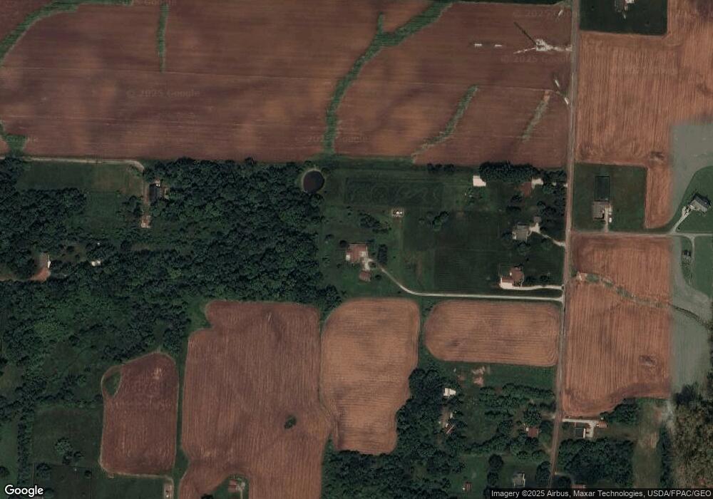
Map
Nearby Homes
- 6052 N Nickelplate St
- 5495 Meese Rd NE
- 5765 Maplegrove St
- 2015 E Main St
- 910 Crosswyck Cir
- 7844 Morningstar Dr
- 1170 Winding Ridge Ave
- 316 E Reno Dr
- 5474 Ravenna Ave
- 0 Michigan Blvd
- 428 Honeycrisp Dr NE
- 3047 Mcintosh Dr NE
- 432 Honeycrisp Dr NE
- 2962 Mcintosh Dr NE
- 2963 Mcintosh Dr NE
- 430 Honeycrisp Dr NE
- 2957 Mcintosh Dr NE
- 1812 E Broad St
- 524 Glenbar St
- 1715 High St
- 6415 Joliat Ave
- 6461 Joliat Ave
- 6500 N Nickelplate St
- 6501 Joliat Ave
- 6291 Joliat Ave
- 6337 Joliat Ave
- 6337 Joliat Ave
- 6486 Joliat Ave
- 6271 Joliat Ave
- 6308 Joliat Ave
- 6440 N Nickelplate St
- 6152 Schloneger Dr
- 6251 Joliat Ave
- 6140 Schloneger Dr
- 6225 Joliat Ave
- 6250 Joliat Ave
- 6634 Joliat Ave
- 6160 Schloneger Dr
- 6201 Joliat Ave
- 6136 Schloneger Dr