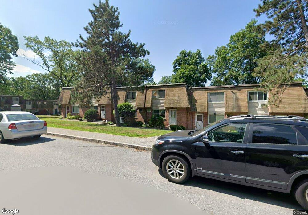
645 Robbins Ave Unit 54 645 Dracut, MA 01826
Estimated Value: $278,000 - $317,264
2
Beds
2
Baths
1,300
Sq Ft
$230/Sq Ft
Est. Value
About This Home
This home is located at 645 Robbins Ave Unit 54 645, Dracut, MA 01826 and is currently estimated at $299,566, approximately $230 per square foot. 645 Robbins Ave Unit 54 645 is a home located in Middlesex County with nearby schools including Greenmont Avenue School, Richardson Middle School, and Dracut Senior High School.
Ownership History
Date
Name
Owned For
Owner Type
Purchase Details
Closed on
Jun 30, 2000
Sold by
Watson Meredith
Bought by
Landis Andrew G
Current Estimated Value
Home Financials for this Owner
Home Financials are based on the most recent Mortgage that was taken out on this home.
Original Mortgage
$80,650
Outstanding Balance
$29,594
Interest Rate
8.59%
Mortgage Type
Purchase Money Mortgage
Estimated Equity
$269,972
Purchase Details
Closed on
May 21, 1996
Sold by
Turcotte John E
Bought by
Savage David and Savage Meredith
Home Financials for this Owner
Home Financials are based on the most recent Mortgage that was taken out on this home.
Original Mortgage
$51,800
Interest Rate
7.77%
Mortgage Type
Purchase Money Mortgage
Create a Home Valuation Report for This Property
The Home Valuation Report is an in-depth analysis detailing your home's value as well as a comparison with similar homes in the area
Home Values in the Area
Average Home Value in this Area
Purchase History
| Date | Buyer | Sale Price | Title Company |
|---|---|---|---|
| Landis Andrew G | $84,900 | -- | |
| Savage David | $54,000 | -- |
Source: Public Records
Mortgage History
| Date | Status | Borrower | Loan Amount |
|---|---|---|---|
| Open | Savage David | $80,650 | |
| Previous Owner | Savage David | $51,800 |
Source: Public Records
Tax History Compared to Growth
Tax History
| Year | Tax Paid | Tax Assessment Tax Assessment Total Assessment is a certain percentage of the fair market value that is determined by local assessors to be the total taxable value of land and additions on the property. | Land | Improvement |
|---|---|---|---|---|
| 2025 | $2,610 | $257,900 | $0 | $257,900 |
| 2024 | $2,641 | $252,700 | $0 | $252,700 |
| 2023 | $2,469 | $213,200 | $0 | $213,200 |
| 2022 | $2,125 | $172,900 | $0 | $172,900 |
| 2021 | $1,903 | $146,300 | $0 | $146,300 |
| 2020 | $1,828 | $136,900 | $0 | $136,900 |
| 2019 | $1,804 | $131,200 | $0 | $131,200 |
| 2018 | $1,766 | $124,900 | $0 | $124,900 |
| 2017 | $1,833 | $124,900 | $0 | $124,900 |
| 2016 | $1,874 | $126,300 | $0 | $126,300 |
| 2015 | $1,795 | $120,200 | $0 | $120,200 |
| 2014 | $1,668 | $115,100 | $0 | $115,100 |
Source: Public Records
Map
Nearby Homes
- 7 Wildwood St Unit A24
- 650 Robbins Ave Unit 33
- 675 Robbins Ave Unit 1
- 4 Hazelwood Ave Unit 12
- 700 Robbins Ave Unit 6
- 35 Thissell Ave
- 575 Beacon St
- 11 View St
- 173 Brook St
- 28 May St
- 18 May St
- 88 11th St
- 18 Stone St
- 108 Billings St
- 284 Beacon St
- 139 Beech St
- 2 Sutherland St
- 345 Hildreth St Unit 14
- 81 Spring Park Ave
- 349 Hildreth St Unit 16
- 645 Robbins Ave Unit 57
- 645 Robbins Ave Unit 54
- 645 Robbins Ave Unit 53
- 645 Robbins Ave Unit 52
- 645 Robbins Ave Unit 51
- 645 Robbins Ave Unit 49
- 645 Robbins Ave Unit 48
- 645 Robbins Ave
- 645 Robbins Ave Unit 50 645
- 645 Robbins Ave Unit 53,645
- 645 Robbins Ave Unit 48,645
- 8 Rockwell Ave
- 109 Thissell Ave
- 15 Wildwood St Unit 1
- 15 Wildwood St Unit 5
- 15 Wildwood St Unit B24
- 15 Wildwood St Unit B23
- 15 Wildwood St Unit B22
- 15 Wildwood St Unit B21
- 15 Wildwood St Unit B20