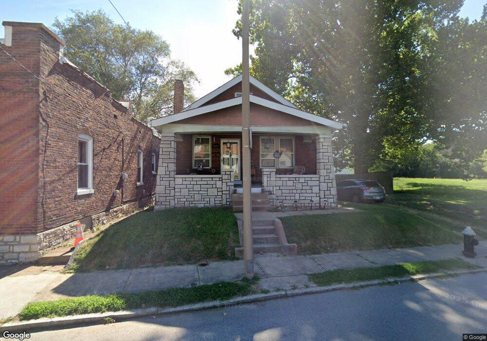
6450 Dale Ave Saint Louis, MO 63139
Franz Park NeighborhoodEstimated Value: $170,837 - $232,000
--
Bed
1
Bath
1,900
Sq Ft
$101/Sq Ft
Est. Value
About This Home
This home is located at 6450 Dale Ave, Saint Louis, MO 63139 and is currently estimated at $190,959, approximately $100 per square foot. 6450 Dale Ave is a home located in St. Louis City with nearby schools including Mason Elementary School, Long International Middle School, and Roosevelt High School.
Ownership History
Date
Name
Owned For
Owner Type
Purchase Details
Closed on
Mar 21, 2022
Sold by
Kathleen Garrighan
Bought by
Garrighan Kathleen and Garrighan Thomas
Current Estimated Value
Home Financials for this Owner
Home Financials are based on the most recent Mortgage that was taken out on this home.
Original Mortgage
$40,000
Outstanding Balance
$32,172
Interest Rate
2.93%
Mortgage Type
New Conventional
Estimated Equity
$158,787
Create a Home Valuation Report for This Property
The Home Valuation Report is an in-depth analysis detailing your home's value as well as a comparison with similar homes in the area
Home Values in the Area
Average Home Value in this Area
Purchase History
| Date | Buyer | Sale Price | Title Company |
|---|---|---|---|
| Garrighan Kathleen | -- | Mortgage Connect |
Source: Public Records
Mortgage History
| Date | Status | Borrower | Loan Amount |
|---|---|---|---|
| Open | Garrighan Kathleen | $40,000 |
Source: Public Records
Tax History Compared to Growth
Tax History
| Year | Tax Paid | Tax Assessment Tax Assessment Total Assessment is a certain percentage of the fair market value that is determined by local assessors to be the total taxable value of land and additions on the property. | Land | Improvement |
|---|---|---|---|---|
| 2025 | $2,172 | $30,620 | $3,420 | $27,200 |
| 2024 | $2,075 | $25,720 | $3,420 | $22,300 |
| 2023 | $2,075 | $25,720 | $3,420 | $22,300 |
| 2022 | $1,942 | $23,150 | $3,420 | $19,730 |
| 2021 | $1,939 | $23,150 | $3,420 | $19,730 |
| 2020 | $1,847 | $22,210 | $3,420 | $18,790 |
| 2019 | $1,841 | $22,210 | $3,420 | $18,790 |
| 2018 | $1,642 | $19,170 | $3,420 | $15,750 |
| 2017 | $1,614 | $19,170 | $3,420 | $15,750 |
| 2016 | $1,465 | $17,140 | $3,420 | $13,720 |
| 2015 | $1,329 | $17,140 | $3,420 | $13,720 |
| 2014 | $1,319 | $17,140 | $3,420 | $13,720 |
| 2013 | -- | $17,020 | $3,420 | $13,600 |
Source: Public Records
Map
Nearby Homes
- 6437 Brockschmidt Place
- 6454 Wade Ave
- 1371 Mobile Ct
- 1597 Fairmount Ave
- 1511 Fairmount Ave
- 1361 Louisville Ave
- 1320 Tamm Ave
- 2022 Knox Ave
- 1326 Graham St
- 1324 Graham St
- 1348 Kraft St
- 6750 Plateau Ave
- 2020 Prather Ave
- 2036 Prather Ave
- 6819 Clyde Terrace
- 6206 Victoria Ave
- 6719 Nashville Ave
- 1325 Hampton Ave
- 1126 Art Hill Place
- 1225 Kraft St
- 6440 Dale Ave
- 6455 Dale Ave
- 6451 Dale Ave
- 6459 Dale Ave
- 6435 Dale Ave
- 6461 Dale Ave
- 6443 Dale Ave
- 6460 Plateau Ave
- 6456 Plateau Ave
- 6452 Plateau Ave
- 6448 Plateau Ave
- 6462 Plateau Ave
- 6444 Plateau Ave
- 6466 Plateau Ave
- 6466 Dale Ave
- 6470 Dale Ave
- 6438 Brockschmidt Place
- 6430 Brockschmidt Place
- 6478 Dale Ave
- 6428 Brockschmidt Place