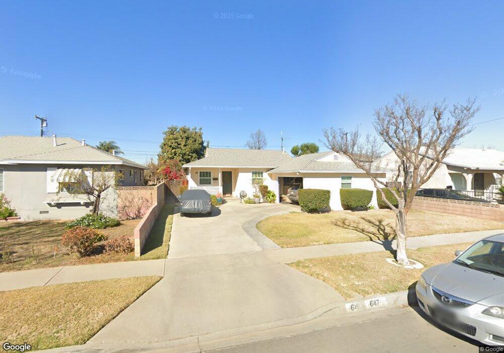
647 Sandsprings Dr La Puente, CA 91746
Estimated Value: $684,809 - $817,000
3
Beds
2
Baths
1,030
Sq Ft
$709/Sq Ft
Est. Value
About This Home
This home is located at 647 Sandsprings Dr, La Puente, CA 91746 and is currently estimated at $729,952, approximately $708 per square foot. 647 Sandsprings Dr is a home located in Los Angeles County with nearby schools including Lassalette Middle School, La Puente High School, and St. Louis of France School.
Ownership History
Date
Name
Owned For
Owner Type
Purchase Details
Closed on
Mar 11, 2004
Sold by
Covarrubias Francisco and Covarrubias Maria Estela
Bought by
Covarrubias Francisco
Current Estimated Value
Purchase Details
Closed on
Oct 1, 2001
Sold by
Covarrubias Francisco and Covarrubias Estela
Bought by
Covarrubias Francisco
Home Financials for this Owner
Home Financials are based on the most recent Mortgage that was taken out on this home.
Original Mortgage
$127,000
Interest Rate
6.91%
Create a Home Valuation Report for This Property
The Home Valuation Report is an in-depth analysis detailing your home's value as well as a comparison with similar homes in the area
Home Values in the Area
Average Home Value in this Area
Purchase History
| Date | Buyer | Sale Price | Title Company |
|---|---|---|---|
| Covarrubias Francisco | -- | -- | |
| Covarrubias Francisco | -- | Stewart Title |
Source: Public Records
Mortgage History
| Date | Status | Borrower | Loan Amount |
|---|---|---|---|
| Closed | Covarrubias Francisco | $127,000 |
Source: Public Records
Tax History Compared to Growth
Tax History
| Year | Tax Paid | Tax Assessment Tax Assessment Total Assessment is a certain percentage of the fair market value that is determined by local assessors to be the total taxable value of land and additions on the property. | Land | Improvement |
|---|---|---|---|---|
| 2025 | $3,383 | $256,374 | $166,563 | $89,811 |
| 2024 | $3,383 | $251,348 | $163,298 | $88,050 |
| 2023 | $3,299 | $246,421 | $160,097 | $86,324 |
| 2022 | $3,205 | $241,590 | $156,958 | $84,632 |
| 2021 | $3,146 | $236,854 | $153,881 | $82,973 |
| 2019 | $3,058 | $229,831 | $149,318 | $80,513 |
| 2018 | $2,950 | $225,326 | $146,391 | $78,935 |
| 2016 | $2,739 | $216,578 | $140,707 | $75,871 |
| 2015 | $2,689 | $213,326 | $138,594 | $74,732 |
| 2014 | $2,651 | $209,149 | $135,880 | $73,269 |
Source: Public Records
Map
Nearby Homes
- 544 N Orange Ave Unit B
- 610 Willow Ave
- 433 Sunkist Ave
- 452 Willow Ave
- 736 Tonopah Ave
- 14421 Flynn St
- 13903 Moccasin St
- 335 Willow Ave
- 14510 Amar Rd Unit J
- 14612 Hutchcroft St
- 979 Willow Ave Unit 31
- 943 Willow Ave
- 13622 Hartsville St
- 932 Shadydale Ave
- 750 Glenshaw Dr
- 720 Le Borgne Ave
- 822 Greenberry Dr
- 13426 Austen Way
- 829 Foxworth Ave
- 227 S 4th Ave
- 641 Sandsprings Dr
- 653 Sandsprings Dr
- 659 Sandsprings Dr
- 635 Sandsprings Dr
- 646 Sunkist Ave
- 652 Sunkist Ave
- 640 Sunkist Ave
- 658 Sunkist Ave
- 634 Sunkist Ave
- 705 Sandsprings Dr
- 631 Sandsprings Dr
- 644 Sandsprings Dr
- 648 Sandsprings Dr
- 640 Sandsprings Dr
- 654 Sandsprings Dr
- 704 Sunkist Ave
- 630 Sunkist Ave
- 634 Sandsprings Dr
- 702 Sandsprings Dr
- 625 Sandsprings Dr