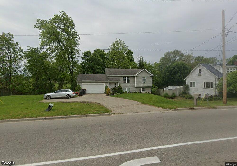
6487 36th Ave Hudsonville, MI 49426
Estimated Value: $316,000 - $333,000
2
Beds
1
Bath
1,000
Sq Ft
$324/Sq Ft
Est. Value
About This Home
This home is located at 6487 36th Ave, Hudsonville, MI 49426 and is currently estimated at $324,340, approximately $324 per square foot. 6487 36th Ave is a home located in Ottawa County with nearby schools including Baldwin Street Middle School, Hudsonville Freshman Campus, and Hudsonville High School.
Ownership History
Date
Name
Owned For
Owner Type
Purchase Details
Closed on
Jul 24, 2003
Sold by
Butterworth Douglas Martin and Butterworth Michelle
Bought by
Kavaluskis Joe and Kavaluskis Melanie
Current Estimated Value
Home Financials for this Owner
Home Financials are based on the most recent Mortgage that was taken out on this home.
Original Mortgage
$105,800
Outstanding Balance
$45,116
Interest Rate
5.3%
Mortgage Type
Purchase Money Mortgage
Estimated Equity
$279,224
Create a Home Valuation Report for This Property
The Home Valuation Report is an in-depth analysis detailing your home's value as well as a comparison with similar homes in the area
Home Values in the Area
Average Home Value in this Area
Purchase History
| Date | Buyer | Sale Price | Title Company |
|---|---|---|---|
| Kavaluskis Joe | $132,250 | -- |
Source: Public Records
Mortgage History
| Date | Status | Borrower | Loan Amount |
|---|---|---|---|
| Open | Kavaluskis Joe | $105,800 |
Source: Public Records
Tax History Compared to Growth
Tax History
| Year | Tax Paid | Tax Assessment Tax Assessment Total Assessment is a certain percentage of the fair market value that is determined by local assessors to be the total taxable value of land and additions on the property. | Land | Improvement |
|---|---|---|---|---|
| 2025 | $2,323 | $134,900 | $0 | $0 |
| 2024 | $2,010 | $127,800 | $0 | $0 |
| 2023 | $1,920 | $114,900 | $0 | $0 |
| 2022 | $2,110 | $102,100 | $0 | $0 |
| 2021 | $2,050 | $97,700 | $0 | $0 |
| 2020 | $2,028 | $86,300 | $0 | $0 |
| 2019 | $2,031 | $78,700 | $0 | $0 |
| 2018 | $1,894 | $73,700 | $0 | $0 |
| 2017 | $1,859 | $74,200 | $0 | $0 |
| 2016 | $1,848 | $74,400 | $0 | $0 |
| 2015 | $1,764 | $72,100 | $0 | $0 |
| 2014 | $1,764 | $68,900 | $0 | $0 |
Source: Public Records
Map
Nearby Homes
- 3544 Nobb Hill Dr
- 3808 Port Sheldon St
- V/L Port Sheldon St
- 3204 Port Sheldon St
- 4106 Blair St
- 7068 Jasper Dr
- 4101 Blair St
- 6950 Meadowcreek Dr
- 2969 Osprey Dr Unit 27
- 6760 N Wentward Ct
- 2921 N Wentward Ct
- 3528 Tearose Dr
- 5744 36th Ave
- 6722 N Wentward Ct Unit 77
- 7318 Alycia Dr
- 3617 Teton Dr
- 6724 28th Ave
- 6340 Summer Dr
- 6714 Cedar Grove W
- 3550 Oak St
- 6503 36th Ave
- 6476 36th Ave
- 3595 Port Sheldon St
- 6517 36th Ave
- 6522 36th Ave
- 3574 Port Sheldon St
- 6530 36th Ave
- 6543 36th Ave
- 6460 36th Ave
- 3568 Port Sheldon St
- 3555 Port Sheldon St
- 6550 36th Ave
- 3548 Port Sheldon St
- 6414 36th Ave
- 6402 36th Ave
- 3530 Port Sheldon St
- 3535 Port Sheldon St
- 6575 36th Ave
- 6391 36th Ave
- 6394 36th Ave