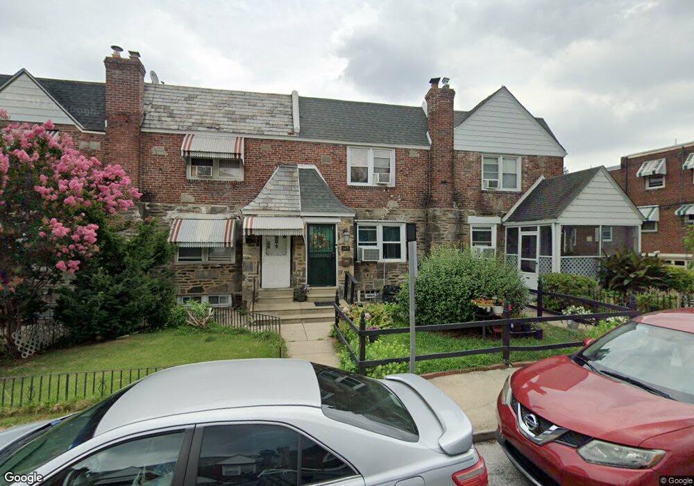
649 Briarcliff Rd Upper Darby, PA 19082
Estimated Value: $159,000 - $227,000
3
Beds
1
Bath
1,248
Sq Ft
$158/Sq Ft
Est. Value
About This Home
This home is located at 649 Briarcliff Rd, Upper Darby, PA 19082 and is currently estimated at $197,591, approximately $158 per square foot. 649 Briarcliff Rd is a home located in Delaware County with nearby schools including Upper Darby High School, Lansdowne Friends School, and SS. Cyril & Philomena Catholic School.
Ownership History
Date
Name
Owned For
Owner Type
Purchase Details
Closed on
Feb 1, 2023
Sold by
Mansfield Michele D
Bought by
Woodard Davida
Current Estimated Value
Purchase Details
Closed on
Jan 4, 2008
Sold by
Mansfield Michele D and Mansfield Essie
Bought by
Mansfield Michele D
Purchase Details
Closed on
Nov 16, 1999
Sold by
Crossin Sean A
Bought by
Mansfield Michele D and Mansfield Essie
Home Financials for this Owner
Home Financials are based on the most recent Mortgage that was taken out on this home.
Original Mortgage
$61,494
Interest Rate
7.81%
Mortgage Type
FHA
Create a Home Valuation Report for This Property
The Home Valuation Report is an in-depth analysis detailing your home's value as well as a comparison with similar homes in the area
Home Values in the Area
Average Home Value in this Area
Purchase History
| Date | Buyer | Sale Price | Title Company |
|---|---|---|---|
| Woodard Davida | -- | -- | |
| Mansfield Michele D | -- | None Available | |
| Mansfield Michele D | $62,500 | -- |
Source: Public Records
Mortgage History
| Date | Status | Borrower | Loan Amount |
|---|---|---|---|
| Previous Owner | Mansfield Michele D | $61,494 |
Source: Public Records
Tax History Compared to Growth
Tax History
| Year | Tax Paid | Tax Assessment Tax Assessment Total Assessment is a certain percentage of the fair market value that is determined by local assessors to be the total taxable value of land and additions on the property. | Land | Improvement |
|---|---|---|---|---|
| 2025 | $3,772 | $89,200 | $17,440 | $71,760 |
| 2024 | $3,772 | $89,200 | $17,440 | $71,760 |
| 2023 | $3,737 | $89,200 | $17,440 | $71,760 |
| 2022 | $3,636 | $89,200 | $17,440 | $71,760 |
| 2021 | $4,903 | $89,200 | $17,440 | $71,760 |
| 2020 | $4,331 | $66,960 | $21,820 | $45,140 |
| 2019 | $4,255 | $66,960 | $21,820 | $45,140 |
| 2018 | $4,206 | $66,960 | $0 | $0 |
| 2017 | $4,097 | $66,960 | $0 | $0 |
| 2016 | $367 | $66,960 | $0 | $0 |
| 2015 | $375 | $66,960 | $0 | $0 |
| 2014 | $367 | $66,960 | $0 | $0 |
Source: Public Records
Map
Nearby Homes
- 703 Briarcliff Rd
- 607 Briarcliff Rd
- 6858 Clover Ln
- 7000 Greenwood Ave
- 6243 Carpenter St
- 7046 Radbourne Rd
- 6230 Carpenter St
- 6217 Cobbs Creek Pkwy
- 6212 Ellsworth St
- 719 Cobbs Creek Pkwy
- 6202 Ellsworth St
- 558 Snowden Rd
- 540 Snowden Rd
- 7042 Clinton Rd
- 7123 Seaford Rd
- 6736 Montgomery Ave
- 7129 Seaford Rd
- 7026 Atlantic Ave
- 7162 Radbourne Rd
- 7155 Radbourne Rd
- 647 Briarcliff Rd
- 651 Briarcliff Rd
- 645 Briarcliff Rd
- 643 Briarcliff Rd
- 641 Briarcliff Rd
- 6821 Radbourne Rd
- 6823 Radbourne Rd
- 6825 Radbourne Rd
- 639 Briarcliff Rd
- 6819 Radbourne Rd
- 6827 Radbourne Rd
- 6817 Radbourne Rd
- 637 Briarcliff Rd
- 6829 Radbourne Rd
- 6815 Radbourne Rd
- 635 Briarcliff Rd
- 6813 Radbourne Rd
- 6811 Radbourne Rd
- 633 Briarcliff Rd
- 6809 Radbourne Rd