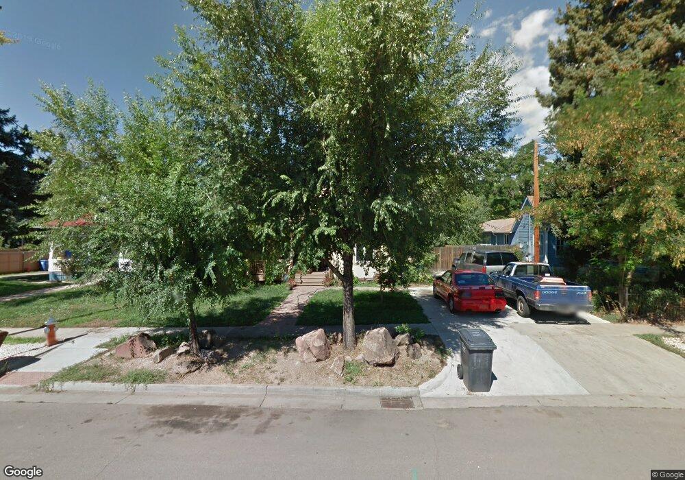
649 Grant Ave Loveland, CO 80537
Estimated Value: $463,000 - $1,017,000
3
Beds
1
Bath
848
Sq Ft
$958/Sq Ft
Est. Value
About This Home
This home is located at 649 Grant Ave, Loveland, CO 80537 and is currently estimated at $812,547, approximately $958 per square foot. 649 Grant Ave is a home located in Larimer County with nearby schools including Truscott Elementary School, Bill Reed Middle School, and Loveland High School.
Ownership History
Date
Name
Owned For
Owner Type
Purchase Details
Closed on
Apr 22, 2004
Sold by
Carr Scott William
Bought by
Seefeldt Christopher H and Seefeldt Jennifer J
Current Estimated Value
Home Financials for this Owner
Home Financials are based on the most recent Mortgage that was taken out on this home.
Original Mortgage
$127,200
Outstanding Balance
$58,855
Interest Rate
5.42%
Mortgage Type
Purchase Money Mortgage
Estimated Equity
$753,692
Purchase Details
Closed on
Jan 1, 1993
Sold by
Baughman Blanche M
Bought by
Carr Scott William
Create a Home Valuation Report for This Property
The Home Valuation Report is an in-depth analysis detailing your home's value as well as a comparison with similar homes in the area
Home Values in the Area
Average Home Value in this Area
Purchase History
| Date | Buyer | Sale Price | Title Company |
|---|---|---|---|
| Seefeldt Christopher H | $159,000 | Guardian Title Agency Lovela | |
| Carr Scott William | $58,500 | -- |
Source: Public Records
Mortgage History
| Date | Status | Borrower | Loan Amount |
|---|---|---|---|
| Open | Seefeldt Christopher H | $127,200 |
Source: Public Records
Tax History Compared to Growth
Tax History
| Year | Tax Paid | Tax Assessment Tax Assessment Total Assessment is a certain percentage of the fair market value that is determined by local assessors to be the total taxable value of land and additions on the property. | Land | Improvement |
|---|---|---|---|---|
| 2025 | $4,866 | $64,662 | $3,015 | $61,647 |
| 2024 | $4,693 | $64,662 | $3,015 | $61,647 |
| 2022 | $4,064 | $51,076 | $3,128 | $47,948 |
| 2021 | $4,176 | $52,546 | $3,218 | $49,328 |
| 2020 | $4,171 | $52,460 | $3,218 | $49,242 |
| 2019 | $4,101 | $52,460 | $3,218 | $49,242 |
| 2018 | $4,097 | $49,781 | $3,240 | $46,541 |
| 2017 | $3,528 | $49,781 | $3,240 | $46,541 |
| 2016 | $2,957 | $40,317 | $3,582 | $36,735 |
| 2015 | $2,933 | $40,320 | $3,580 | $36,740 |
| 2014 | $2,609 | $34,700 | $3,580 | $31,120 |
Source: Public Records
Map
Nearby Homes
- 625 Harrison Ave
- 720 Roosevelt Ave
- 905 Harrison Ave
- 205 E 6th St Unit 300
- 205 E 6th St Unit 301
- 205 E 6th St Unit 200
- 205 E 6th St Unit 400
- 205 E 6th St Unit 204
- 205 E 6th St Unit 305
- 205 E 6th St Unit 202
- 205 E 6th St Unit 303
- 205 E 6th St Unit 205
- 205 E 6th St Unit 302
- 205 E 6th St Unit 304
- 604 W 9th St
- 633 W 6th St
- 610 W 5th St
- 143 W 2nd St
- 770 N Lincoln Ave
- 643 W 10th St