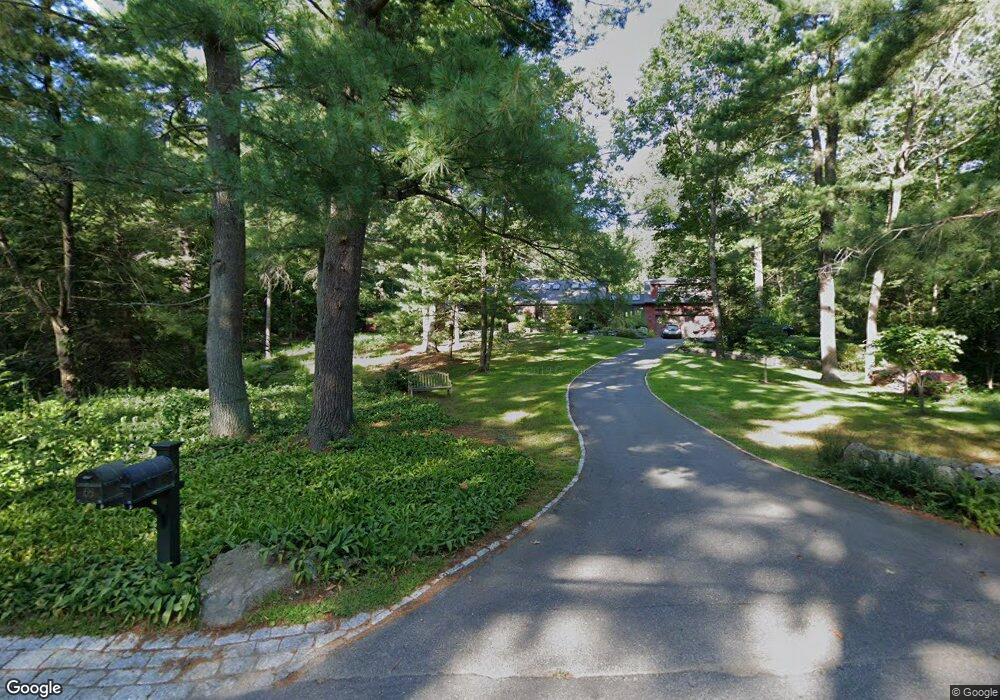
65 Beaver Pond Rd Lincoln, MA 01773
Estimated Value: $1,948,683 - $2,978,000
4
Beds
4
Baths
4,546
Sq Ft
$498/Sq Ft
Est. Value
About This Home
This home is located at 65 Beaver Pond Rd, Lincoln, MA 01773 and is currently estimated at $2,262,421, approximately $497 per square foot. 65 Beaver Pond Rd is a home located in Middlesex County with nearby schools including Lincoln-Sudbury Regional High School, Tremont School, and The Cambridge School Of Weston.
Ownership History
Date
Name
Owned For
Owner Type
Purchase Details
Closed on
Jun 11, 2025
Sold by
Mandelkorn Richard S and Welsh Susan L
Bought by
Susan L Welsh T L and Susan Welsh
Current Estimated Value
Purchase Details
Closed on
Jun 30, 1995
Sold by
Johnson Stephen P and Johnson Paula D
Bought by
Mandelkorn Richard S and Welsh Susan L
Purchase Details
Closed on
Sep 7, 1994
Sold by
Fisher Madge K Est and Fisher
Bought by
Johnson Stephen P and Johnson Paula D
Create a Home Valuation Report for This Property
The Home Valuation Report is an in-depth analysis detailing your home's value as well as a comparison with similar homes in the area
Home Values in the Area
Average Home Value in this Area
Purchase History
| Date | Buyer | Sale Price | Title Company |
|---|---|---|---|
| Susan L Welsh T L | -- | -- | |
| Susan L Welsh T L | -- | -- | |
| Mandelkorn Richard S | $611,000 | -- | |
| Mandelkorn Richard S | $611,000 | -- | |
| Johnson Stephen P | $449,000 | -- | |
| Johnson Stephen P | $449,000 | -- |
Source: Public Records
Mortgage History
| Date | Status | Borrower | Loan Amount |
|---|---|---|---|
| Previous Owner | Johnson Stephen P | $128,100 | |
| Previous Owner | Johnson Stephen P | $335,000 |
Source: Public Records
Tax History Compared to Growth
Tax History
| Year | Tax Paid | Tax Assessment Tax Assessment Total Assessment is a certain percentage of the fair market value that is determined by local assessors to be the total taxable value of land and additions on the property. | Land | Improvement |
|---|---|---|---|---|
| 2025 | $19,722 | $1,539,600 | $879,300 | $660,300 |
| 2024 | $19,573 | $1,518,500 | $861,900 | $656,600 |
| 2023 | $17,745 | $1,274,800 | $699,300 | $575,500 |
| 2022 | $17,184 | $1,151,000 | $647,200 | $503,800 |
| 2021 | $17,106 | $1,102,200 | $604,800 | $497,400 |
| 2020 | $16,500 | $1,074,200 | $627,500 | $446,700 |
| 2019 | $14,625 | $1,042,400 | $610,900 | $431,500 |
| 2018 | $14,177 | $1,042,400 | $610,900 | $431,500 |
| 2017 | $14,092 | $1,028,600 | $604,800 | $423,800 |
| 2016 | $14,147 | $1,011,200 | $587,400 | $423,800 |
| 2015 | $13,469 | $951,900 | $543,600 | $408,300 |
| 2014 | $12,972 | $900,200 | $506,500 | $393,700 |
Source: Public Records
Map
Nearby Homes
- 22 Lincoln Rd
- 19 Conant Rd
- 130 Tower Rd
- 44 Baker Bridge Rd
- 60 Baker Bridge Rd
- 12 Laurel Dr
- 3 Clifford Ln
- 6 Clifford Ln
- 152 S Great Rd
- 8 Stratford Way
- 426 Conant Rd
- 33 Old Concord Rd
- 244 Lincoln Rd
- 75 Westland Rd
- 88 Winter St
- 416 Conant Rd
- 5 Peakes Ln
- 93 Old Sudbury Rd
- 9 Garland Rd
- 121 Cherry Brook Rd